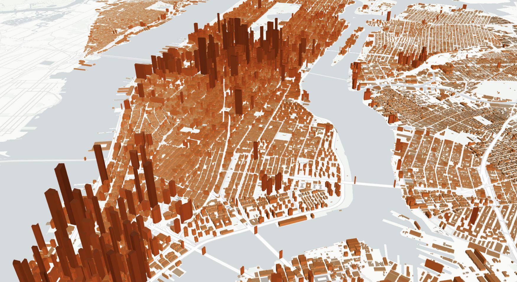
Overture Maps is an attempt to solve the biggest problem with open map data: using it reliably at scale. OpenStreetMap provides extraordinary coverage but has inconsistent schemas, no persistent entity IDs, and no built-in quality validation. Corporate and government datasets add valuable data but don't interoperate with each other. Overture conflates these sources — OSM, Microsoft Building Footprints, Meta places data, government boundaries and addresses — into standardized themes with consistent schemas, unique IDs for every entity through the Global Entity Reference System (GERS), and automated quality checks.
For teams building products on open map data rather than doing one-off analysis, this structure matters: persistent IDs mean you can track changes to specific buildings or places across releases, and standardized schemas mean you don't have to write custom parsers for every data source.
The practical result is a dataset that's more immediately usable for production applications than raw OSM, at the cost of some attribute richness and update latency. OSM still provides more detailed community-contributed tags and faster per-feature updates, so the two serve different needs.
Overture is designed for the use cases where consistency, deduplication, and cross-source linking are more important than having the latest individual edits — routing engines, place search, building analytics, and address matching at global scale. In Atlas, the Overture Maps layer is available with one click, automatically styled and ready for exploration and overlay.