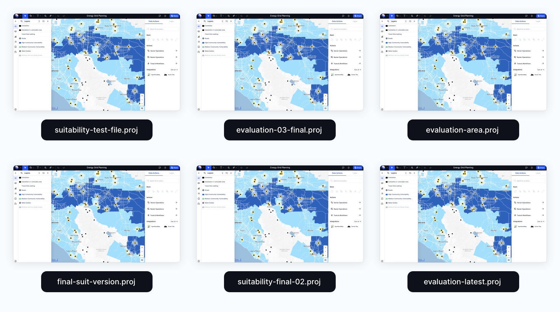
50+ spatial analysis tools
A powerful suite of spatial analysis tools that anyone can use. No prior GIS knowledge required.
It's as easy as using a calculator
GIS analysis used to be for experts only. With Atlas, anyone can perform advanced analyses without prior knowledge.
Core GIS operations
Buffer, clip, subtract, intersect, dissolve, and much more.
Perform both vector and raster operations with ease. Our tools are designed to be intuitive and easy to use, so you can focus on your analysis, not the software.
Advanced spatial analysis
Conduct proximity searches, overlay analysis, and data aggregation to reveal hidden patterns and relationships.
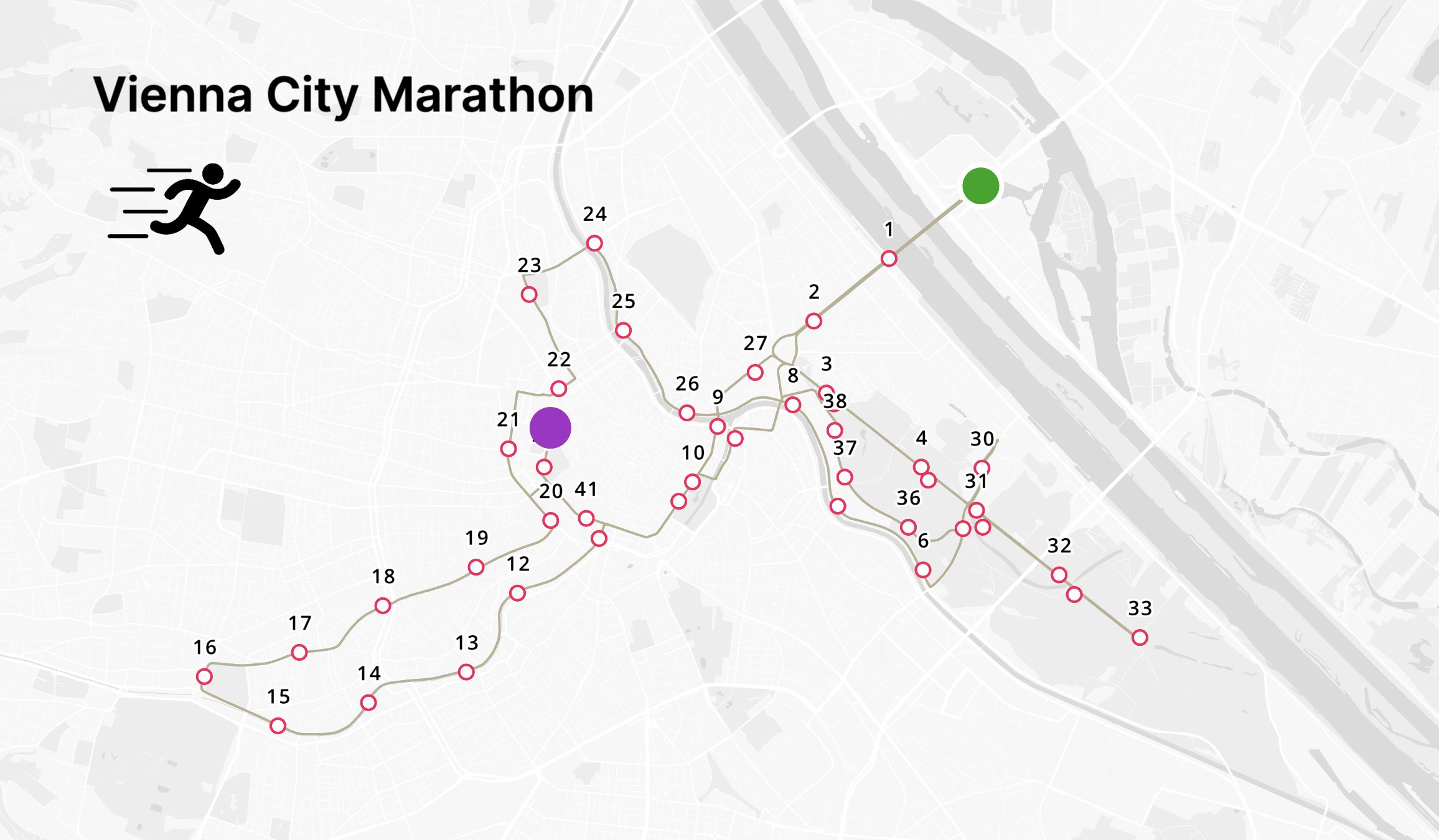
Easily perform routing, conversions, and density analyses to support your decision-making processes.
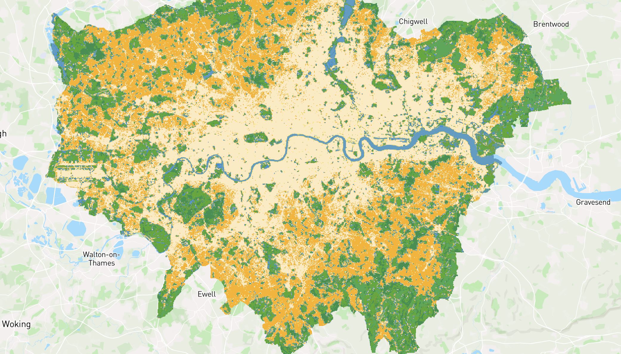
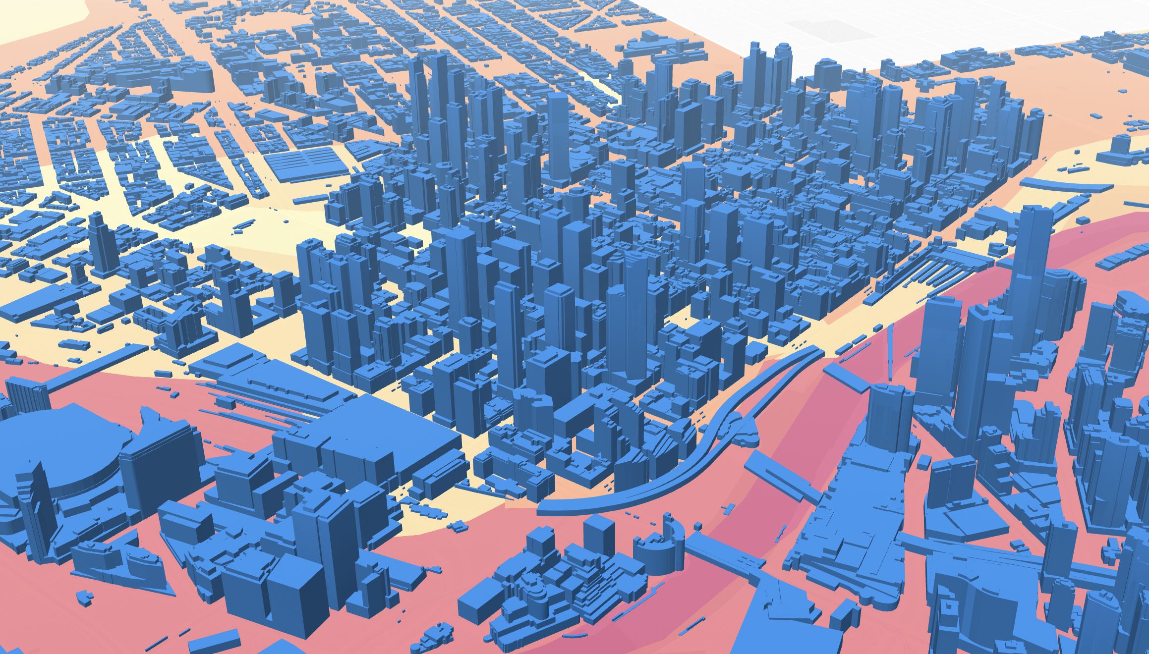
Domain-specific workflows
Unlock deeper insights with domain-specific spatial analysis.
Estimate wind power production, calculate aspect-slope or visualize how many hours of sunlight on specific dates.
Whether you’re in real estate, urban planning, or environmental science, our tools are designed to help you make better decisions faster.
Designed to be easily updated
Web maps are live assets designed to be edited, and any changes will be automatically updated synced across all members.