Climate Risk & Sustainability
Navigate hazard risk and build resilience against an increasing cadence of natural disasters with analyses on climate, community, and market dynamics
Navigate climate risk and drive critical resilience investments
Climate change is a global challenge that requires a coordinated and strategic response. Atlas helps you understand the risks and opportunities associated with climate change.
Environmental management
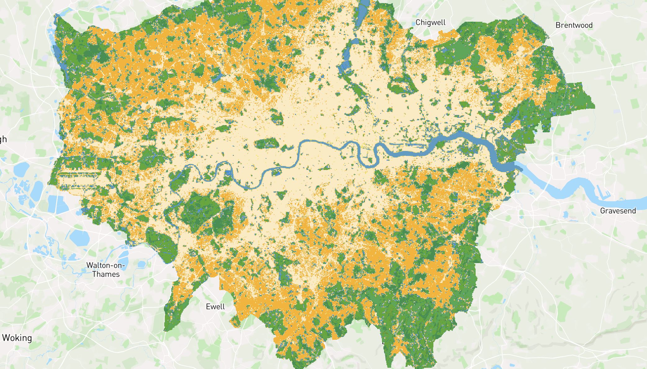
Monitoring environmental shifts and predicting future changes using spatial data is essential to minimize environmental degradation.
Whether analyzing air pollution, managing disasters, tracking forest fires, responding to oil spills, or handling wastewater management, GIS solutions provide powerful tools to protect our planet.
Biodiversity monitoring
Predicting potential habitats for endangered species with limited known ranges and identifying biodiversity hotspots using spatial context is crucial for preserving our world’s biodiversity.
GIS platforms enable targeted surveys and monitoring schemes, allowing for precise data collection on habitat distribution and change measurement.
Risk and proximity evaluation
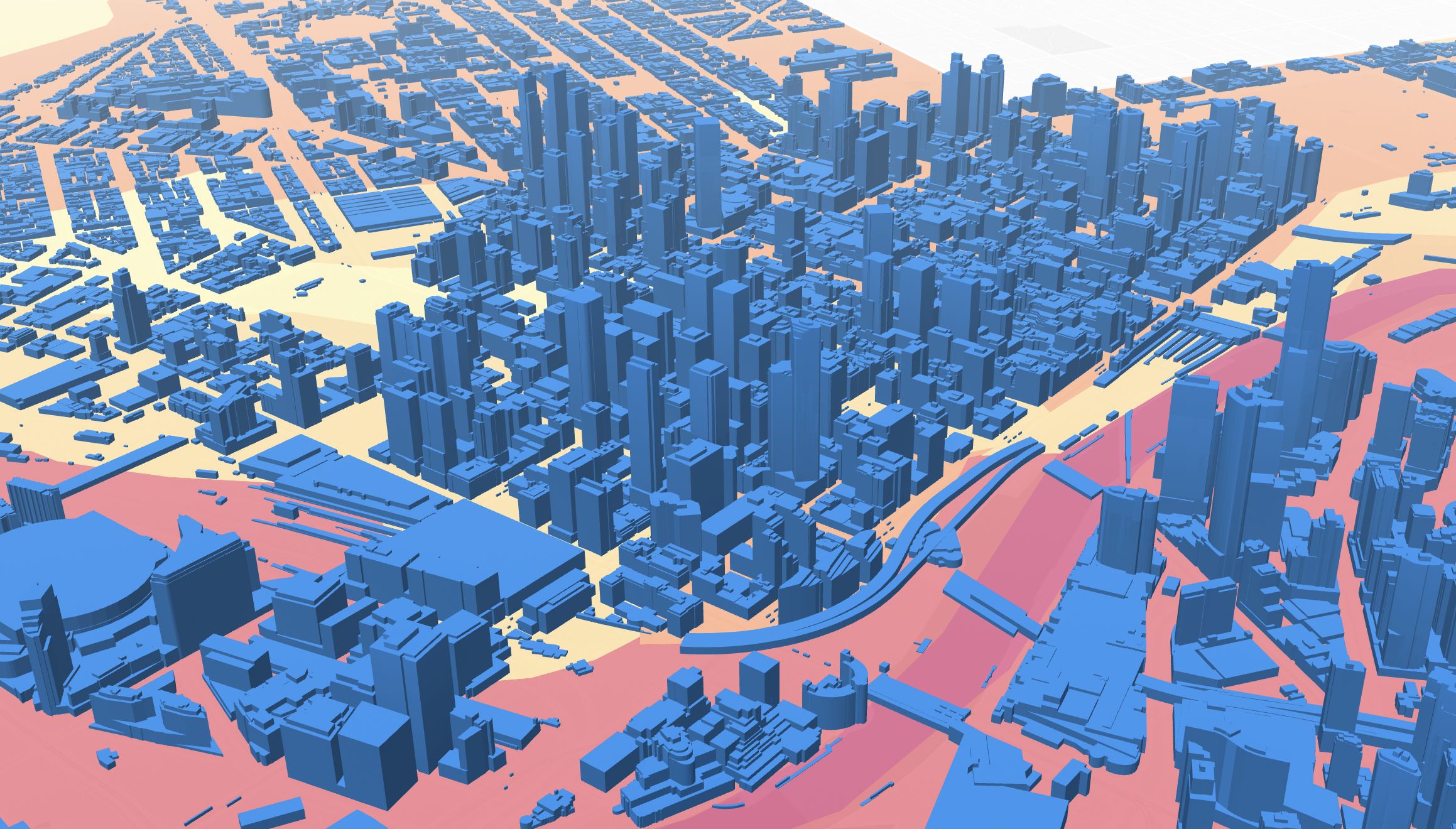
Granular data is essential for fully understanding asset assessments at the local level.
In Atlas, you can easily import local data to evaluate risks and to assess the proximity of assets to potential hazards.
Designed to be easily updated
Web maps are live assets designed to be edited, and any changes will be automatically updated synced across all members.


