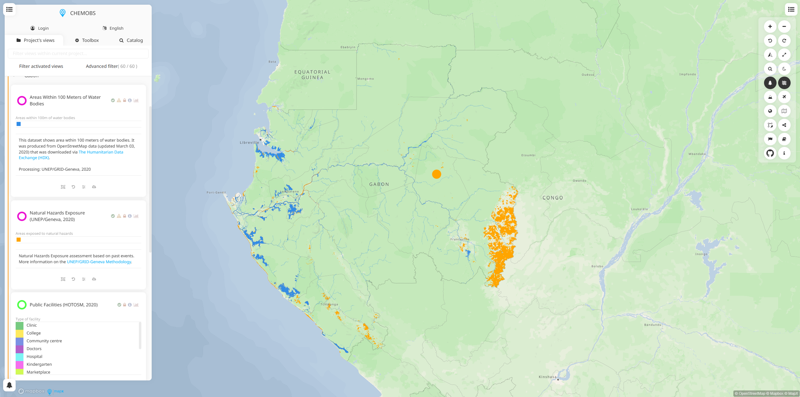
African Chemical Observatory is a specialized geospatial platform that monitors chemical pollutants and environmental contaminants across Africa. Built on the MapX platform, it provides interactive mapping and data visualization tools for tracking chemical risks and their environmental impacts across the continent.
The observatory serves as a centralized hub for chemical monitoring data, offering stakeholders access to critical information about chemical pollution patterns, contamination hotspots, and environmental health risks across African countries.
Key Features
- Interactive mapping interface for visualizing chemical monitoring data across Africa
- Geospatial data layers showing chemical pollution patterns and contamination sources
- Country-specific datasets covering various chemical pollutants and environmental indicators
- Data filtering and analysis tools for examining specific chemical compounds or regions
- Export capabilities for downloading maps, data, and analytical results
- Multi-language support for broader accessibility across African nations
Applications
- Environmental health assessment for identifying chemical contamination hotspots
- Policy development for chemical management and pollution control strategies
- Research and monitoring of chemical pollutants across African ecosystems
- Risk assessment for communities exposed to chemical contamination
- Cross-border coordination for regional chemical monitoring initiatives
- Public health planning based on chemical exposure patterns
Data Coverage
- Heavy metals and toxic chemical concentrations in soil, water, and air
- Persistent organic pollutants (POPs) distribution across the continent
- Industrial chemicals and their environmental pathways
- Agricultural chemicals including pesticides and fertilizers
- Mining-related contamination in extractive industry areas
- Urban pollution sources in major African cities
Technical Capabilities
- Real-time data integration from multiple monitoring networks
- Spatial analysis tools for identifying pollution trends and patterns
- Time-series visualization showing chemical concentration changes over time
- Statistical analysis features for data interpretation and reporting
- API access for integration with other environmental monitoring systems
The African Chemical Observatory addresses the critical need for comprehensive chemical monitoring across Africa, supporting environmental protection, public health initiatives, and sustainable development goals throughout the continent.