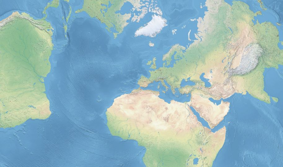
When working with GIS, finding clean, accurate, and free data can be a challenge.
That’s why Natural Earth is such a valuable resource.
It provides high-quality vector and raster datasets, designed for cartography, analysis, and GIS applications. Whether you're making a simple map or conducting a global analysis, Natural Earth offers data that is easy to use and well-organized.
Let’s explore why Natural Earth is one of the best free data sources available.
1. Free and Open-Source Data
One of the biggest advantages of Natural Earth is that it is completely free.
Unlike other GIS datasets that require subscriptions or licensing fees, Natural Earth provides public domain data that anyone can use without restrictions.
This makes it an ideal source for:
- Cartographers creating maps for reports, websites, and presentations.
- Students and educators working on GIS projects.
- Researchers and analysts needing global geographic data.
If you need high-quality GIS data without licensing headaches, Natural Earth is a great choice.
2. Well-Organized and Easy to Use
Many GIS datasets are complex, inconsistent, or require extensive processing before use.
Natural Earth stands out because it provides:
- Seamless layers – No gaps or overlaps in vector data.
- Pre-styled attributes – Includes labels, country codes, and population data.
- Well-structured files – Organized into simple categories.
With consistent data formats and intuitive organization, Natural Earth makes GIS work easier, even for beginners.
3. Multiple Data Scales for Different Needs
Not all GIS projects need the same level of detail.
Natural Earth provides three different scales, so you can choose the right level of detail for your project:
Scale | Best For |
---|---|
1:10m | Large-scale maps, detailed regional analysis |
1:50m | Country-level mapping and visualization |
1:110m | Global maps, low-detail overviews |
For example:
- If you're mapping the entire world, use 1:110m for fast rendering.
- If you're focusing on one country, use 1:10m for more detail.
Having these pre-generalized layers saves time and processing power.
4. A Wide Range of Data Types
Natural Earth isn’t just about country borders.
It provides a variety of datasets covering political, physical, and cultural geography.
Popular Data Categories
- Political Boundaries – Countries, states, provinces, disputed areas.
- Physical Geography – Rivers, lakes, mountains, coastlines.
- Populated Places – Cities, towns, and capitals with population data.
- Transportation – Roads, railways, ports, and airports.
- Land Cover and Raster Data – Elevation, shaded relief, and satellite-based maps.
This comprehensive coverage makes Natural Earth useful for almost any mapping project.
5. GIS-Ready Formats for Easy Integration
Natural Earth provides data in standard GIS formats, making it easy to use in QGIS, ArcGIS, and web mapping tools.
Available Formats
- Shapefiles (.shp) – Standard format for vector GIS data.
- GeoJSON (.geojson) – Great for web-based applications.
- CSV (.csv) – Simple tabular data for spreadsheet use.
- TIFF (.tif) – Raster images for background layers.
This flexibility allows users to quickly integrate Natural Earth data into different platforms and workflows.
6. Reliable and Up-to-Date Information
Many free GIS datasets are outdated or poorly maintained.
Natural Earth, however, is regularly updated by a team of cartographers, GIS professionals, and contributors.
Why does this matter?
- Political boundaries change (e.g., new countries, border disputes).
- Populated places grow (new cities, changing populations).
- Infrastructure evolves (new airports, roads, and railways).
Because it stays updated, Natural Earth remains a trustworthy source for global mapping projects.
How to Get Started with Natural Earth
1. Visit the Natural Earth Website
Go to naturalearthdata.com to access the dataset library.
2. Choose Your Data
Select from vector or raster datasets based on your needs.
3. Download and Unzip
- The files come in .zip format.
- Extract them and load them into QGIS, ArcGIS, or your mapping tool.
4. Start Mapping!
With GIS-ready data, you can immediately start visualizing and analyzing.
Final Thoughts
If you need high-quality, free, and easy-to-use GIS data, Natural Earth is one of the best sources available.
It’s widely used by:
- Cartographers for map design.
- Researchers for spatial analysis.
- Developers for web-based mapping projects.
With its consistent structure, broad coverage, and reliable updates, Natural Earth is a must-have data source for anyone working with GIS.
Start exploring and download your data today at naturalearthdata.com.