Carbon Monitor solved a timing problem that frustrated climate researchers and policymakers for decades: official national emissions inventories typically lag 2–3 years behind the present, making it impossible to assess whether current policies are working or to track emissions responses to events like the COVID-19 pandemic in anything approaching real time.
The platform provides daily CO₂ emissions estimates at national level, updated within days of occurrence, by combining high-frequency activity data with validated emission factors. When electricity demand falls in Germany during a cold snap, or aviation picks up ahead of a holiday weekend, Carbon Monitor captures the emissions signal almost immediately.
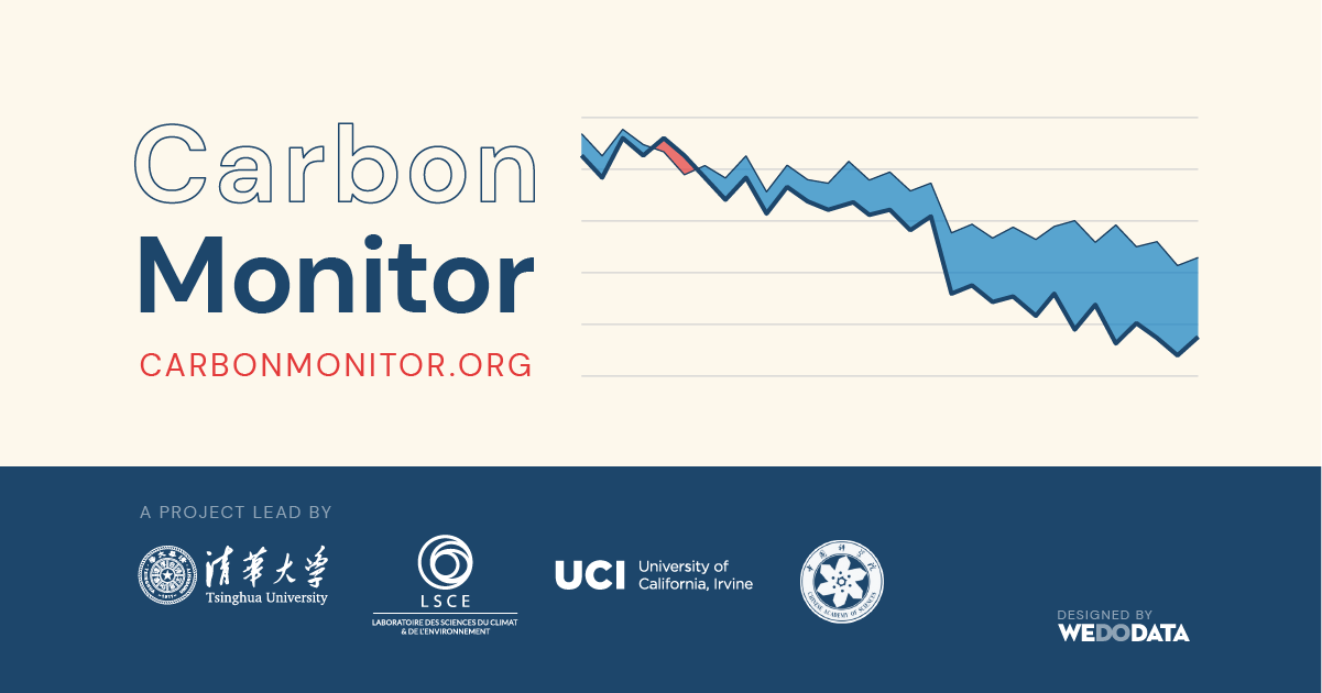
The pandemic application demonstrated the approach's power. When global aviation nearly stopped in March 2020 and ground transport collapsed with lockdowns, Carbon Monitor provided week-by-week emissions estimates that showed precisely how much different sectors contributed to the temporary reduction — information that would otherwise have taken three years to appear in official statistics.
For GIS analysis, Carbon Monitor data joins straightforwardly to country boundary files using ISO codes, enabling choropleth mapping of per-capita emissions, sector-specific contributions, and year-over-year change by country. The temporal granularity also supports time-series animation — showing how global emissions evolved through the pandemic, recovery, and energy crisis.
The research team publishes in Nature journals and provides the full methodology documentation, making Carbon Monitor suitable for academic citation. The API provides programmatic access for automated data pipelines.
Carbon Monitor is part of a broader movement toward near-real-time climate data — alongside datasets from Copernicus Atmosphere, ESA satellite-derived methane monitoring, and electricity grid APIs — that is making it possible to monitor emissions trajectories months or years before official inventory data arrives.