WMS Hinweiskarte Starkregengefahren is Germany's national heavy rainfall hazard mapping service provided by the Federal Agency for Cartography and Geodesy (BKG).
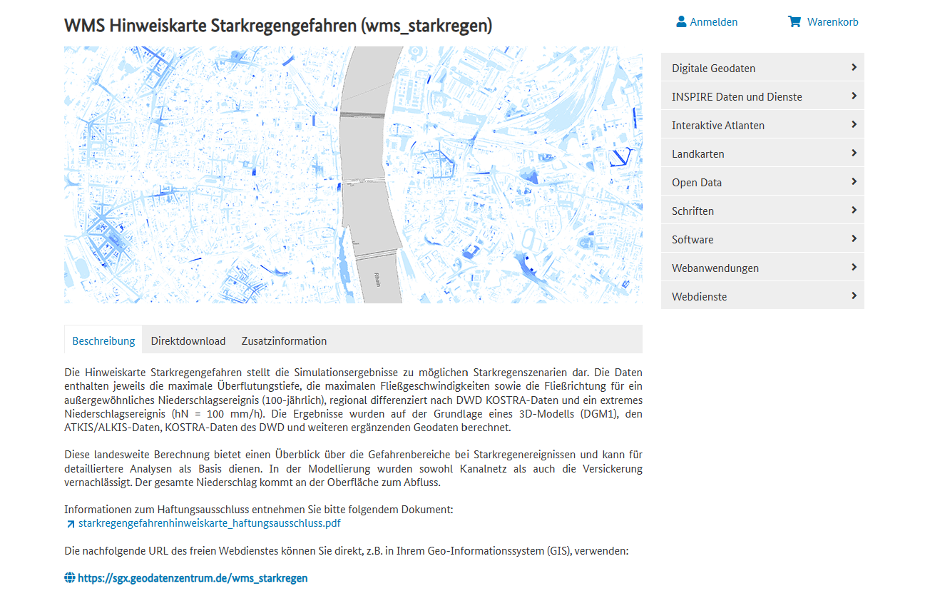
The platform provides detailed flood risk maps showing potential water depths, flow velocities, and flow directions during extreme precipitation events across Germany.
Key Features
- Detailed flood modeling showing maximum inundation depths and flow velocities
- Dual scenario analysis covering 100-year rainfall events and extreme 100mm/h precipitation
- High-resolution data based on 1-meter digital elevation models (DGM1)
- KOSTRA rainfall data integration from the German Weather Service (DWD)
- WMS service compatibility for direct integration into GIS applications
- Nationwide coverage of Germany with consistent methodology
Technical Specifications
- Data sources: DGM1 elevation models, ATKIS/ALKIS geodata, DWD KOSTRA precipitation data
- Modeling approach: 3D surface flow modeling without consideration of drainage systems
- Scenarios: 100-year return period events and extreme 100mm/h rainfall
- Resolution: Based on 1-meter digital elevation models
- Format: WMS web mapping service for GIS integration
Applications
- Municipal flood risk planning and emergency preparedness
- Insurance risk assessment for property and infrastructure
- Urban planning and development site evaluation
- Infrastructure vulnerability analysis for critical facilities
- Emergency response planning and evacuation route design
- Climate adaptation strategies at local and regional levels
Use Cases
- Municipal authorities assess flood risks for zoning and building permits
- Insurance companies evaluate property risk exposure for premium calculations
- Engineers and consultants conduct preliminary flood assessments for development projects
- Emergency management agencies plan evacuation routes and response strategies
- Property developers screen sites for flood vulnerability before investment
- Environmental impact evaluation for projects
- Research and analysis for academic and scientific purposes
- Policy development and regulatory compliance
- Educational and training applications
WMS Hinweiskarte Starkregengefahren provides essential capabilities for understanding and addressing climate and nature-related challenges in today's changing world.