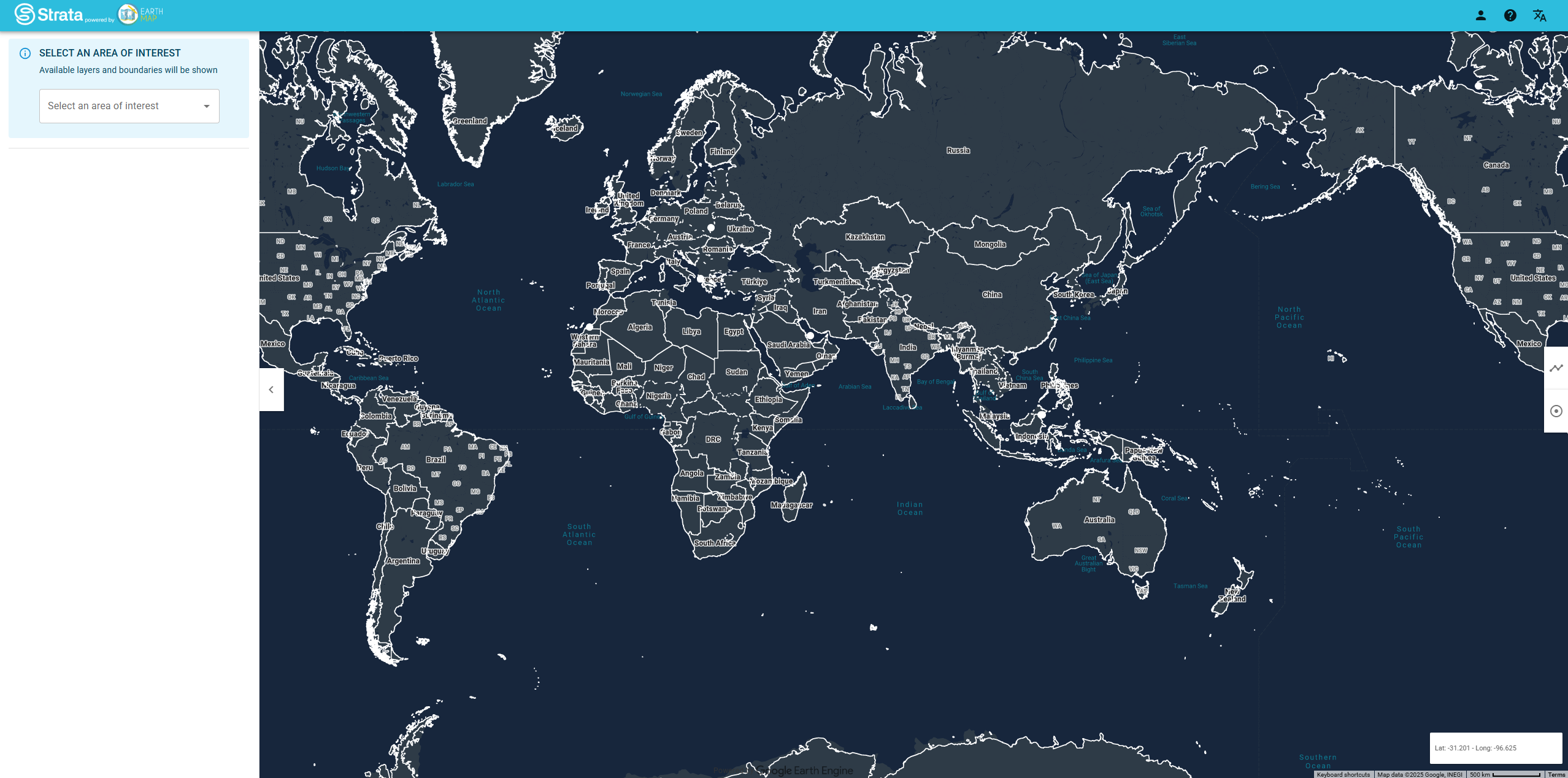
UNEP Strata is a web-based geospatial data platform that identifies and tracks convergence points where environmental, climate, and security stresses intersect with socio-economic vulnerabilities.
This platform provides geospatial insights for practitioners, analysts, and policymakers seeking to assess and monitor climate-security nexus risks at different geographical scales for informed decision-making.
Key Features
- Convergence mapping identifying where climate, environmental, and security stresses intersect
- Hotspot identification highlighting areas of highest vulnerability and risk convergence
- Multi-layered analysis integrating environmental, social, economic, and security indicators
- Area statistics and reports providing easy-to-read summaries and insights
- Geographical scaling from local to global assessment capabilities
- Monitoring tools for tracking changes in risk patterns over time
Data Integration
- Climate stress indicators including temperature, precipitation, and extreme weather patterns
- Environmental pressures covering land degradation, water scarcity, and ecosystem stress
- Security factors including conflict risk, governance indicators, and instability measures
- Socio-economic vulnerabilities covering poverty, demographics, and development indicators
- Infrastructure exposure showing critical systems at risk from multiple stressors
- Temporal analysis tracking how risk convergence evolves over time
Assessment Capabilities
- Risk convergence analysis showing where multiple stresses compound vulnerabilities
- Vulnerability hotspot mapping identifying priority areas for intervention
- Scenario assessment exploring how different stresses interact under various conditions
- Cross-scale analysis from community to regional and national levels
- Impact monitoring tracking effectiveness of interventions and policies
- Early warning potential identifying emerging risk convergence patterns
Applications
- Climate security assessments for national security and defense planning
- Conflict prevention identifying areas where environmental stress may trigger instability
- Development planning prioritizing interventions in high-risk convergence areas
- Humanitarian preparedness anticipating complex emergencies from multiple stressors
- Natural resource management addressing environmental pressures that contribute to instability
- Peacebuilding initiatives addressing environmental factors in post-conflict settings
Use Cases
- Government agencies assess climate-security risks for national planning and preparedness
- International organizations prioritize humanitarian and development interventions
- Security analysts identify areas where environmental stress may contribute to instability
- Development practitioners design programs addressing multiple vulnerability factors
- Researchers study interactions between climate, environment, and human security
- Environmental impact evaluation for projects
- Research and analysis for academic and scientific purposes
- Policy development and regulatory compliance
- Educational and training applications
UNEP Strata provides essential capabilities for understanding and addressing climate and nature-related challenges in today's changing world.