UN Biodiversity Lab is a free online platform that provides access to over 400 global biodiversity datasets and spatial analysis tools, empowering countries, organizations, and individuals to make informed decisions for nature conservation and sustainable development.
Developed by the United Nations Development Programme (UNDP) in partnership with UN Environment Programme and the Secretariat of the Convention on Biological Diversity, the platform supports evidence-based decision-making for biodiversity conservation, sustainable development planning, and meeting international commitments.
Whether you're working on national biodiversity strategies, protected area planning, environmental impact assessment, or SDG monitoring, UN Biodiversity Lab provides essential biodiversity intelligence and analysis capabilities.
1. Comprehensive Biodiversity Data Library
UN Biodiversity Lab offers over 400 curated datasets covering:
Species and Ecosystems:
- Global species distribution and range maps
- Threatened species assessments and trends
- Ecosystem extent and condition mapping
- Biodiversity hotspots and priority areas
- Endemic species concentrations
Protected Areas and Conservation:
- World Database on Protected Areas (WDPA)
- Other effective area-based conservation measures (OECMs)
- Key Biodiversity Areas (KBAs)
- Indigenous and community conserved areas
- Conservation effectiveness assessments
Human Pressures and Threats:
- Deforestation and habitat loss trends
- Human footprint and development pressures
- Climate change impacts and projections
- Pollution and degradation indicators
- Infrastructure development impacts
2. Spatial Analysis and Visualization Tools
The platform provides powerful analysis capabilities:
Interactive Mapping:
- Web-based GIS functionality
- Multi-layer visualization and overlay analysis
- Custom map creation and styling
- Time series analysis and animation
- High-resolution satellite imagery backgrounds
Analysis Tools:
- Area calculation and statistics
- Buffer and proximity analysis
- Intersection and overlap analysis
- Trend analysis over time
- Scenario modeling capabilities
Data Export:
- Download capabilities for offline analysis
- Multiple formats (shapefile, GeoJSON, CSV)
- Custom area data extraction
- Report generation tools
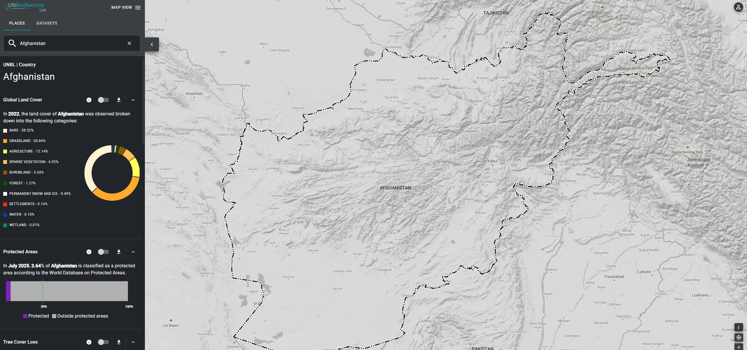
3. Country-Specific Biodiversity Profiles
UN Biodiversity Lab offers tailored country dashboards:
- National biodiversity statistics and indicators
- Protected area coverage and gaps analysis
- Species richness and endemism patterns
- Threat assessments and pressure mapping
- Conservation priorities identification
- Progress tracking toward national and international targets
4. Support for International Frameworks
The platform directly supports global biodiversity commitments:
Convention on Biological Diversity (CBD):
- National Biodiversity Strategies and Action Plans (NBSAPs)
- Aichi Biodiversity Targets monitoring
- Global Biodiversity Framework indicators
- National reporting support
Sustainable Development Goals (SDGs):
- SDG 14 (Life Below Water) and SDG 15 (Life on Land)
- Biodiversity indicators for SDG monitoring
- Integrated analysis with development planning
Other Frameworks:
- CITES species trade monitoring
- Ramsar Convention wetlands assessment
- World Heritage natural site monitoring
5. Capacity Building and Training
UN Biodiversity Lab provides educational resources:
- Training materials and tutorials
- Webinars and workshops for capacity building
- User guides and technical documentation
- Best practices sharing and case studies
- Community forums for knowledge exchange
6. Collaborative Platform Features
The platform enables collaboration and knowledge sharing:
- User accounts for saving and sharing work
- Collaborative mapping projects
- Data contribution opportunities
- Community-generated content and insights
- Expert networks and partnerships
Getting Started with UN Biodiversity Lab
- Visit the platform at map.unbiodiversitylab.org
- Explore global datasets using the interactive map
- Select your country for targeted analysis
- Use analysis tools to assess biodiversity patterns
- Create custom maps and reports
- Access training materials to build skills
Use Cases
- National Biodiversity Planning: Develop evidence-based NBSAPs and conservation strategies
- Protected Area Design: Identify gaps and priorities for conservation expansion
- Environmental Impact Assessment: Assess development impacts on biodiversity
- SDG Monitoring: Track progress on biodiversity-related sustainable development goals
- Research and Education: Access comprehensive datasets for academic studies
- Policy Development: Support evidence-based environmental policy making
UN Biodiversity Lab democratizes access to critical biodiversity information, empowering users worldwide to make informed decisions that promote both conservation and sustainable development for a nature-positive future.