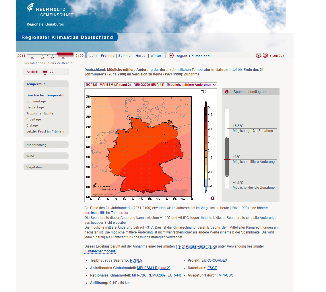
The Regionaler Klimaatlas Deutschland (Regional Climate Atlas Germany) is an interactive web platform that provides comprehensive climate projections and scenarios for Germany at regional and local scales. Developed by German climate research institutions, this atlas presents more than 120 regional climate scenarios from various research projects, enabling users to explore potential future climate conditions and support evidence-based climate adaptation planning.
The atlas provides detailed information about projected changes in temperature, precipitation, extreme weather events, and other climate indicators across different regions of Germany, helping communities, businesses, and government agencies understand and prepare for climate change impacts.
Key Features
- Interactive Maps: Explore climate projections spatially across German regions and states
- Multiple Scenarios: Access data from over 120 regional climate scenarios and models
- Time Period Selection: Compare current conditions with future projections (2021-2050, 2071-2100)
- Variable Selection: Temperature, precipitation, extreme events, and seasonal patterns
- Emission Scenarios: Results for different greenhouse gas emission pathways (RCP scenarios)
- Regional Detail: High-resolution data at state (Länder) and local administrative levels
- User-Friendly Interface: Intuitive design for non-technical users and experts alike
Climate Variables
- Temperature: Mean temperatures, temperature extremes, heating and cooling degree days
- Precipitation: Annual and seasonal precipitation patterns, dry periods, heavy rainfall events
- Extreme Weather: Heat waves, frost days, tropical nights, heavy precipitation events
- Seasonal Changes: Spring onset, growing season length, winter conditions
- Derived Indicators: Climate indices relevant for agriculture, energy, health, and ecosystems
- Uncertainty Ranges: Information about model agreement and projection confidence
Applications
- Climate Adaptation Planning: Develop regional and local adaptation strategies and measures
- Risk Assessment: Evaluate climate risks for infrastructure, agriculture, and natural systems
- Urban Planning: Inform city planning with localized climate projections
- Agricultural Planning: Assess impacts on crop production and farming practices
- Energy Sector: Plan for changing heating and cooling demands
- Water Management: Understand projected changes in water availability and extreme events
- Health Planning: Prepare for temperature-related health risks and vector-borne diseases
Regional Coverage
- Federal States: Detailed projections for all 16 German federal states (Länder)
- Administrative Regions: Data at county (Landkreis) and municipal levels
- River Basins: Climate information organized by hydrological catchments
- Natural Regions: Projections for different landscape and ecological zones
Use Cases
- State Governments: Develop state-level climate adaptation strategies and policies
- Municipal Planners: Access localized climate information for urban development planning
- Agricultural Sector: Plan crop selection and farming practices based on changing climate conditions
- Infrastructure Managers: Assess climate risks for transportation, energy, and water systems
- Climate Researchers: Access high-quality regional climate data for scientific studies
- Environmental Consultants: Conduct climate impact assessments for development projects
- Educators: Teach climate science concepts using real regional data and projections
Regionaler Klimaatlas Deutschland provides essential capabilities for understanding and addressing climate and nature-related challenges in today's changing world.

