OGC Standards are internationally recognized specifications developed by the Open Geospatial Consortium that enable different geospatial systems to exchange information seamlessly. These standards form the technical foundation for modern geospatial interoperability, allowing diverse software applications, databases, and web services to work together effectively for environmental monitoring, climate analysis, and spatial decision-making.
OGC standards cover everything from basic data formats and web services to advanced APIs and specialized domain applications, providing the technical infrastructure that makes global geospatial data sharing and analysis possible.
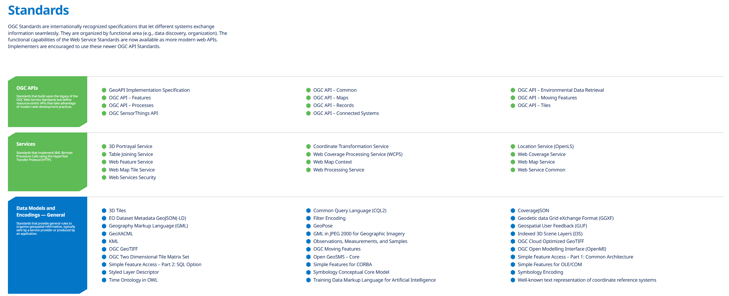
Core Standard Categories
- OGC APIs: Modern RESTful APIs for features, maps, tiles, processes, and environmental data retrieval
- Web Services: Traditional XML-based services including WMS, WFS, WCS, and WPS for data access
- Data Encodings: Formats like GeoJSON, GML, KML, and GeoTIFF for storing and exchanging spatial data
- Sensors and IoT: Standards for connecting sensors and Internet of Things devices to geospatial systems
- 3D and Visualization: Standards for 3D city models, point clouds, and advanced visualization
- Discovery Services: Catalogs and search capabilities for finding geospatial resources
Key Standards for Environmental Applications
- OGC API - Features: Access and query vector geospatial data like monitoring sites and boundaries
- OGC API - Environmental Data Retrieval: Retrieve environmental data from complex datasets
- Web Map Service (WMS): Display maps and imagery from environmental monitoring systems
- Web Feature Service (WFS): Access vector data for environmental features and monitoring points
- SensorThings API: Connect environmental sensors and IoT devices for real-time monitoring
- WaterML: Exchange hydrological and water quality data between systems
- NetCDF Standards: Handle climate and atmospheric datasets in scientific applications
Applications
- Environmental Data Integration: Combine data from multiple agencies and organizations
- Climate Monitoring Networks: Connect diverse climate observation systems and databases
- Emergency Response: Enable rapid data sharing during environmental disasters
- Policy Support: Provide standardized data access for environmental decision-making
- Research Collaboration: Allow scientists to share and analyze data across institutions
- Citizen Science: Enable public participation in environmental monitoring programs
- Regulatory Compliance: Support standardized environmental reporting and compliance monitoring
Use Cases
- Government Agencies: Implement standardized data sharing between environmental departments
- Research Institutions: Connect to global environmental data networks and repositories
- Software Developers: Build interoperable geospatial applications and web services
- Environmental Consultants: Access diverse data sources through standardized interfaces
- International Organizations: Coordinate global environmental monitoring and reporting
- GIS Vendors: Ensure software compatibility and data exchange capabilities
- Data Providers: Publish environmental data in standardized, accessible formats
- Policy development and regulatory compliance
- Educational and training applications
OGC Standards provides essential capabilities for understanding and addressing climate and nature-related challenges in today's changing world.