Interactive Country Fiches is a UNEP GRID comprehensive environmental information platform that provides interactive fact sheets for developing countries worldwide.
The platform offers detailed environmental profiles covering eight environmental pillars, with data integration from over 100 datasets, including INFORM Risk Scores and national environmental performance indicators.
Key Features
- Interactive environmental profiles for countries across Africa, Asia-Pacific, and Latin America
- Eight environmental pillars covering comprehensive environmental assessment areas
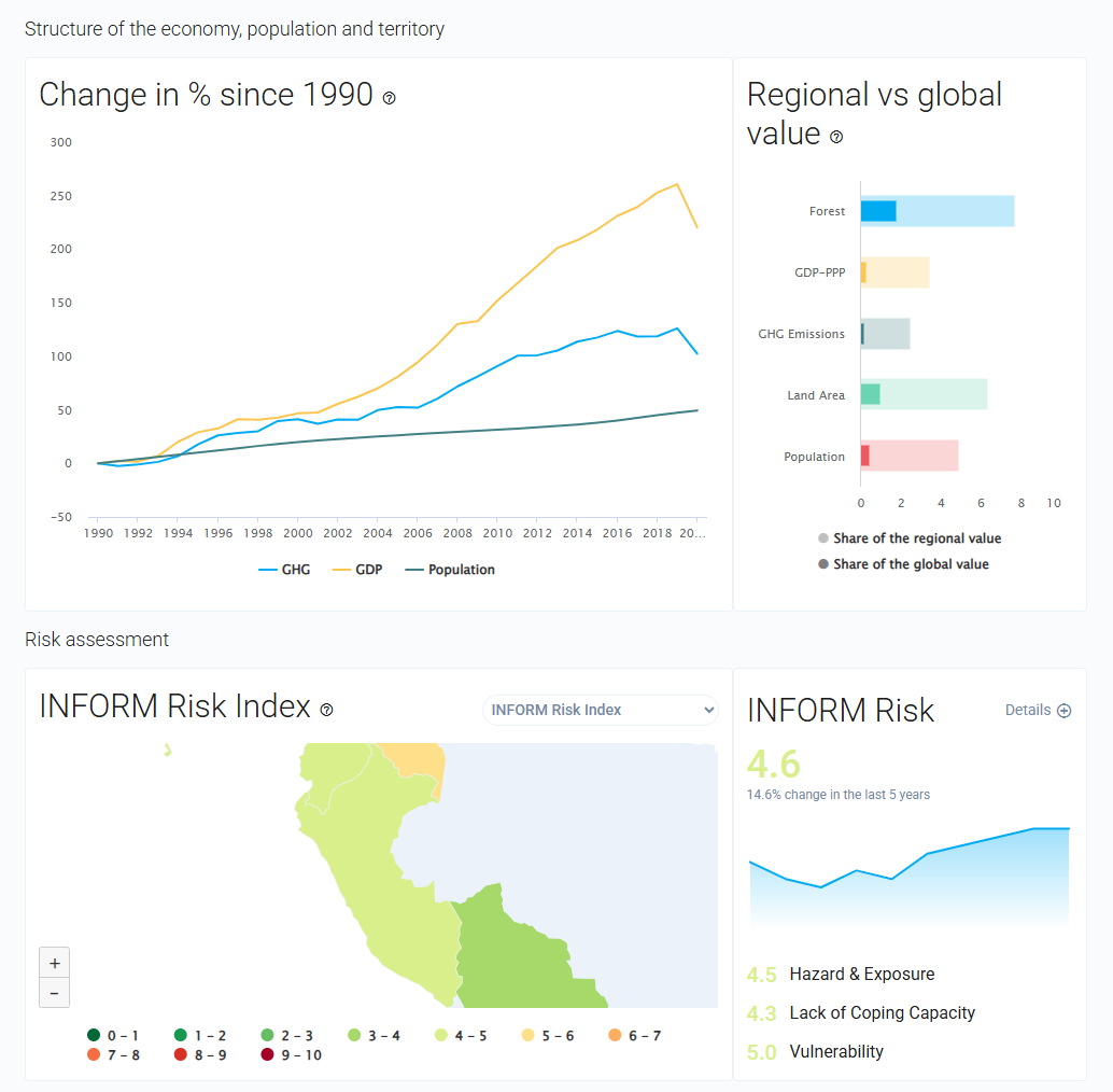
- INFORM Risk Score integration for disaster risk and vulnerability analysis
- Over 100 datasets from authoritative international sources
- Country-specific analysis tailored to national environmental contexts
- Updatable information system ensuring access to current environmental data
Environmental Pillars
- Climate Change: National emissions, vulnerability, and adaptation measures
- Air Quality: Pollution levels, sources, and health impacts
- Freshwater: Availability, quality, and management challenges
- Land and Soil: Degradation, agriculture, and land use patterns
- Forests: Coverage, deforestation rates, and conservation efforts
- Biodiversity: Species richness, protected areas, and conservation status
- Marine and Coastal: Ocean health, pollution, and coastal management
- Waste Management: Generation, treatment, and circular economy initiatives
Geographic Coverage
- Africa: Multiple countries with focus on environmental challenges and opportunities
- Asia and the Pacific: Including Afghanistan, Bangladesh, Cambodia, Indonesia, and others
- Latin America and Caribbean: Bolivia, Colombia, Ecuador, Guatemala, Haiti, Peru, and more
- Developing country focus: Emphasis on nations with significant environmental challenges
Applications
- Environmental policy development for national governments
- International development planning for aid and cooperation programs
- Risk assessment for development projects and investments
- Environmental monitoring and reporting for international frameworks
- Research and analysis on developing country environmental trends
- Capacity building for environmental management institutions
Use Cases
- Government officials develop national environmental policies and strategies
- International organizations design development programs and allocate resources
- Environmental researchers access standardized data for comparative studies
- NGOs advocate for environmental protection and sustainable development
- Development agencies assess environmental risks for project planning
- Environmental impact evaluation for projects
- Research and analysis for academic and scientific purposes
- Policy development and regulatory compliance
- Educational and training applications
Interactive Country Fiches provides essential capabilities for understanding and addressing climate and nature-related challenges in today's changing world.