Geoportal.de is Germany's central access point to the national spatial data infrastructure (GDI-DE), providing comprehensive access to geospatial data and services from federal, state, and local government agencies across Germany. Operated by the Federal Agency for Cartography and Geodesy (BKG), the portal serves as the national hub for discovering, accessing, and utilizing spatial data, including extensive climate and weather-related information.
The platform supports Germany's implementation of the European INSPIRE directive and facilitates access to climate and weather data through thematic portals, enabling users to find and access geospatial resources essential for climate adaptation, environmental planning, and risk assessment.
Key Features
- National spatial data infrastructure providing centralized access to German geospatial data resources
- Thematic data organization including dedicated climate and weather data sections
- Multi-level government integration connecting federal, state, and municipal data providers
- INSPIRE compliance ensuring European interoperability standards for spatial data
- Metadata cataloging enabling efficient discovery of relevant geospatial datasets
- Web mapping services providing direct access to spatial data through standardized interfaces
Applications
- Climate risk assessment using integrated weather and hazard data from multiple sources
- Urban planning accessing spatial data for climate-adapted city development
- Disaster risk management utilizing heavy rainfall, flood, and extreme weather information
- Environmental monitoring combining climate data with land use and ecosystem information
- Infrastructure planning incorporating climate considerations into transportation and utility planning
- Research and analysis providing standardized access to multi-source geospatial climate data
Climate and Weather Data
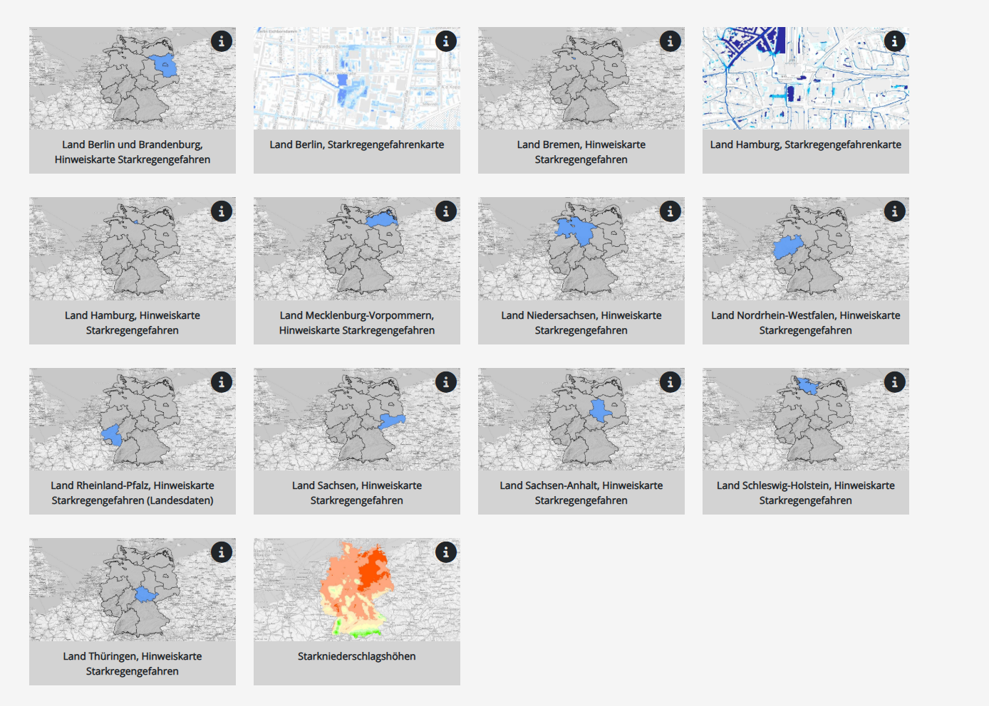
- Heavy rainfall (Starkregen) information including precipitation intensity maps and risk assessments
- Temperature data covering historical trends and extreme heat event mapping
- Wind patterns supporting renewable energy planning and storm risk assessment
- Flood risk maps integrating precipitation, topography, and hydrological data
- Drought indicators combining meteorological and soil moisture information
- Climate projections providing future scenario data for adaptation planning
Data Sources and Partners
- German Weather Service (DWD) providing meteorological and climate data
- Federal states contributing regional climate and environmental datasets
- Local governments sharing municipal-level spatial and climate information
- Research institutions providing specialized climate and environmental data
- European agencies contributing cross-border climate and environmental datasets
Technical Infrastructure
- OGC-compliant web services ensuring interoperability with GIS applications and tools
- INSPIRE metadata standards facilitating data discovery and quality assessment
- Multi-format data access supporting various GIS and analysis software platforms
- API services enabling programmatic access to spatial data and services
- Mobile-responsive design ensuring accessibility across different devices
- Quality assurance protocols maintaining data accuracy and reliability
Thematic Portals
- Climate and Weather portal providing focused access to meteorological and climate data
- Environmental data covering air quality, water resources, and ecosystem information
- Hazard mapping including flood, storm, and extreme weather risk assessments
- Land use planning supporting spatial planning with climate considerations
- Transportation infrastructure providing data for climate-resilient mobility planning
User Support
- Data discovery tools helping users find relevant spatial datasets efficiently
- Documentation and tutorials supporting effective use of geospatial data and services
- Technical support assisting with data access and integration challenges
- Training resources building capacity for spatial data use in climate applications
- Community forums facilitating knowledge sharing among spatial data users
Geoportal.de represents a fundamental infrastructure for accessing climate and environmental data across Germany, supporting evidence-based decision-making, climate adaptation planning, and coordination between different levels of government in addressing climate change challenges.