World Bank Data is the standard reference for comparing countries on development indicators — GDP, poverty, health, education, infrastructure, climate, and dozens of other themes, harmonized across every country and spanning decades of time series.
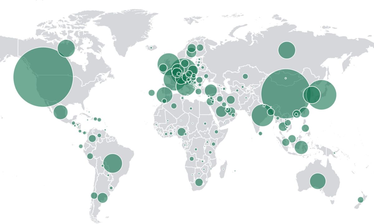
For GIS professionals, its value is in providing the thematic data that country-level maps are built from: join World Bank indicators to GADM or Natural Earth boundaries using ISO country codes, and you can map economic growth, electrification rates, health outcomes, or carbon emissions across the globe in minutes. No other single source offers this breadth of cross-country, cross-domain indicators under one consistent, freely licensed framework.
The dataset is strongest at national and sometimes subnational level — it's designed for cross-country comparison rather than fine-grained spatial analysis. If you need neighborhood-level detail, national statistical agencies (Census Bureau, ONS, Eurostat) are the right sources.
But for the kind of global overview that development organizations, policy researchers, and international businesses need — which countries are electrifying fastest, where poverty rates are falling, how infrastructure access compares across a continent — World Bank Data provides the indicators and the Indicators API provides the programmatic access to build dashboards and automated reporting pipelines. The Microdata Library also offers household survey data from developing countries, providing a deeper look at within-country variation when national aggregates aren't sufficient.