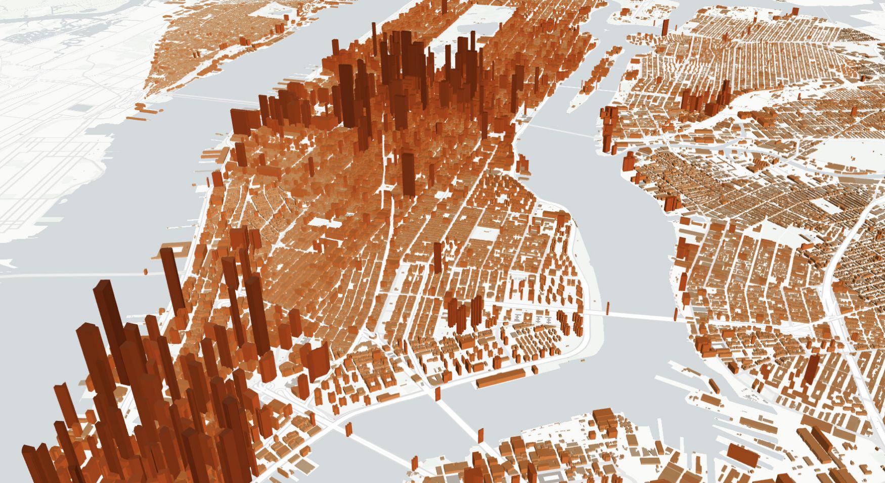
Overture Maps’ Buildings dataset contains over 2.6 billion building features from around the world. It merges data from sources like OpenStreetMap, Microsoft, Google, Esri, and Zenodo. Each building is represented as a polygon or multipolygon and includes detailed attributes such as estimated height, number of floors, usage type (residential, commercial, industrial), and source information. The dataset also distinguishes between full buildings and parts of buildings, like annexes or separate wings.
You can import Buildings data from Overture Maps directly through Atlas’ Overture Maps integration. This lets you load global building footprints into your Atlas project with just a few clicks. Whether you’re working on urban development, disaster planning, or infrastructure mapping, the integration makes it easy to access high-quality building data without leaving your browser.