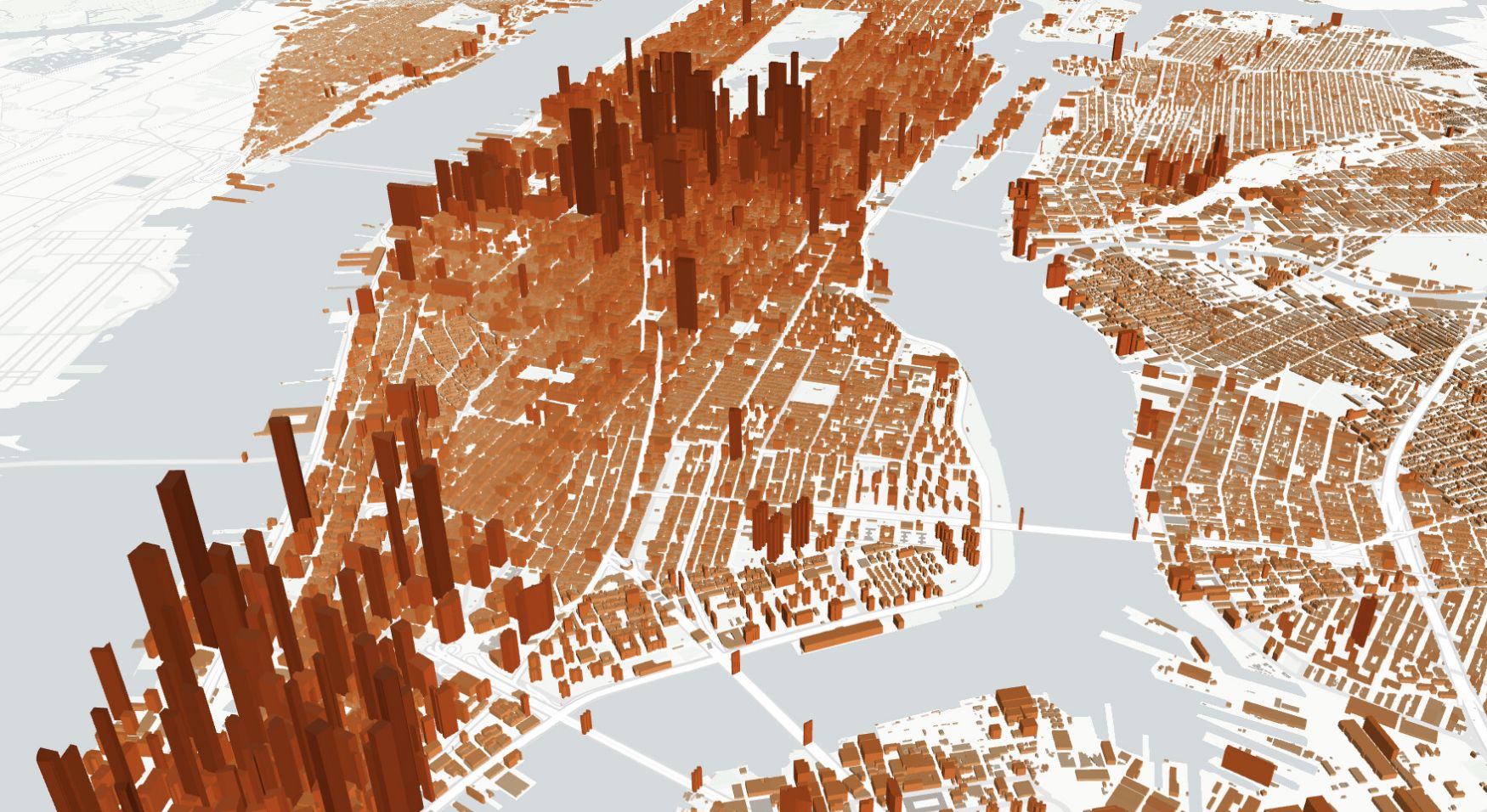
Overture Maps provides a global dataset of over 446 million address points, compiled from more than 170 sources, including OpenAddresses, AddressForAll, and various public agencies. Each address is represented as a point geometry and includes attributes like street number, street name, unit, postal code, country, and administrative levels. The data is structured to accommodate diverse address formats worldwide, making it suitable for applications in mapping, geocoding, and spatial analysis.
You can import Addresses data from Overture Maps directly through Atlas' Overture Maps integration. This allows you to seamlessly load and visualize address points within your Atlas projects, facilitating tasks such as location validation, service area analysis, and infrastructure planning.

