Data Sources/LandsatLook Viewer

LandsatLook Viewer

LandsatLook Viewer is a free, easy-to-use tool for accessing Landsat satellite imagery. With decades of historical data, high-resolution multispectral images, and global coverage, it's a top resource for GIS professionals and researchers.

Environmental Monitoring

Track environmental changes including deforestation, pollution levels, and ecosystem health using Earth observation data.

Agriculture & Land Use

Monitor crop health, soil conditions, and land use changes for precision agriculture and sustainable land management.

Urban Planning

Plan urban development, zoning, and infrastructure improvements using land cover, demographic, and transportation data.

LandsatLook Viewer

LandsatLook Viewer has been retired. You can access Landsat and Copernicus satellite data through Atlas' built-in integration. See video below for more details.

LandsatLook Viewer is the browser-based gateway to the longest continuous satellite imagery archive on Earth. The Landsat program has been collecting multispectral observations since 1972 — over half a century of consistent global coverage — and LandsatLook makes the entire archive searchable and downloadable without specialized tools or command-line workflows.

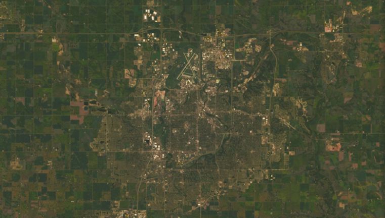
For GIS professionals, this temporal depth is Landsat's defining advantage: Sentinel-2 offers higher resolution and faster revisit, but if you need to compare a landscape in 2024 to what it looked like in 1985 or 1972, Landsat is the only free option with that reach.

The 50-year archive makes Landsat the backbone of long-term change analysis — deforestation studies, urban expansion monitoring, glacier retreat tracking, and coastal erosion mapping all depend on the ability to compare imagery across decades. The multispectral bands support NDVI vegetation analysis, burn severity assessment, surface temperature mapping, and water body delineation from a single data source.

LandsatLook simplifies the discovery step: search by location and date, preview band combinations, and download GeoTIFFs that feed directly into QGIS, ArcGIS, Atlas, or Google Earth Engine. For most Earth observation workflows, Landsat data doesn't need to be the only satellite source you use — but its archive is the one that gives you historical context no other mission can match.

How to use LandsatLook Viewer in Atlas?

Frequently Asked Questions

A free, browser-based tool from USGS for searching, previewing, and downloading Landsat satellite imagery spanning over 50 years of Earth observation from all Landsat missions.

Yes. All Landsat data has been free since 2008. Download full scenes as GeoTIFF files through LandsatLook or USGS Earth Explorer with a free EROS account.

Landsat 8/9 provides 30-meter multispectral bands, 15-meter panchromatic, and 100-meter thermal. Older missions have varying resolutions, with Landsat 1-3 at 80 meters.

Each Landsat satellite revisits the same location every 16 days. With Landsat 8 and 9 both operational, you get an 8-day combined revisit time.

Landsat 8/9 has 11 bands covering coastal aerosol, visible (RGB), near-infrared, shortwave infrared, panchromatic, cirrus, and two thermal infrared bands.

Details

CoverageGlobal
Layer TypeRaster
Update FrequencyEvery 8 days
Categories
Remote Sensing
Visit sourceUse data in Atlas