WESR Mediterranean is an interactive environmental monitoring platform focused on the Mediterranean Sea region, developed in support of the Barcelona Convention and its protocols for Mediterranean environmental protection. This platform provides comprehensive data and analysis tools for tracking marine pollution, coastal environmental conditions, and the implementation of regional environmental agreements.
The tool serves the Mediterranean Action Plan by offering evidence-based information to support regional cooperation, environmental policy implementation, and sustainable development planning across the 22 Mediterranean countries and the European Union.
Key Features
- Interactive Mediterranean Maps: Visualize environmental data across the Mediterranean basin
- Barcelona Convention Monitoring: Track implementation of Mediterranean environmental agreements
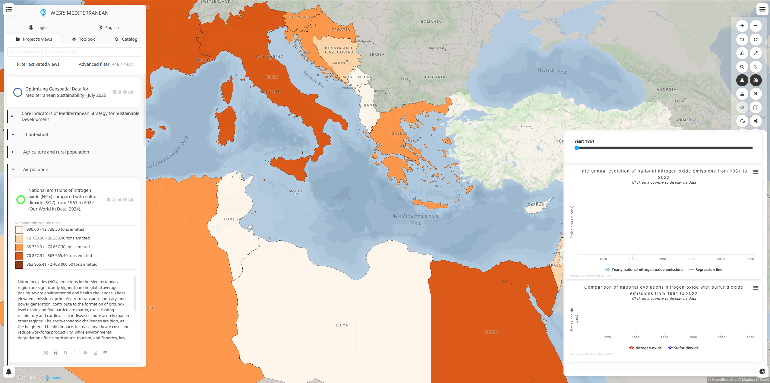
- Marine Pollution Assessment: Monitor pollution sources, levels, and trends in Mediterranean waters
- Coastal Zone Management: Data on coastal development, erosion, and protection measures
- Protected Areas Mapping: Information on marine and coastal protected areas and conservation status
- Regional Cooperation Tools: Support collaboration between Mediterranean countries
- Protocol Implementation: Track progress on specialized environmental protocols
Environmental Monitoring Areas
- Marine Pollution: Oil spills, chemical pollution, plastic waste, and nutrient pollution
- Coastal Environment: Beach quality, coastal erosion, habitat degradation, and development pressures
- Marine Biodiversity: Species distribution, protected areas, and ecosystem health indicators
- Water Quality: Seawater chemistry, eutrophication, and marine ecosystem conditions
- Climate Impacts: Sea level rise, temperature changes, and climate effects on marine systems
- Fishing and Aquaculture: Sustainable fisheries management and aquaculture development
- Maritime Traffic: Shipping patterns, port development, and maritime environmental impacts
Barcelona Convention Protocols
- Prevention of Pollution from Ships: MARPOL implementation and ship-based pollution monitoring
- Dumping Protocol: Monitoring of waste disposal and dumping activities
- Land-Based Pollution: Tracking pollution from terrestrial sources affecting marine environment
- Offshore Activities: Environmental impacts of offshore oil and gas exploration
- Hazardous Wastes: Management and monitoring of hazardous waste affecting the marine environment
- Specially Protected Areas: Conservation of Mediterranean marine and coastal biodiversity
Applications
- Regional Environmental Cooperation: Support Mediterranean Action Plan implementation
- Marine Pollution Prevention: Monitor and respond to pollution incidents and sources
- Coastal Management Planning: Inform integrated coastal zone management strategies
- Conservation Planning: Support marine protected area designation and management
- Policy Development: Evidence-based regional and national environmental policy formulation
- Scientific Research: Provide data for Mediterranean marine and coastal research
- Public Awareness: Communicate Mediterranean environmental conditions to stakeholders
Use Cases
- Mediterranean Governments: Implement Barcelona Convention obligations and national policies
- Regional Organizations: Coordinate Mediterranean environmental protection initiatives
- Marine Research Institutions: Access regional data for Mediterranean marine science studies
- Environmental NGOs: Monitor environmental progress and advocate for marine protection
- Coastal Managers: Plan and implement integrated coastal zone management strategies
- Shipping Industry: Understand environmental regulations and pollution prevention requirements
- Tourism Sector: Assess environmental conditions affecting Mediterranean tourism destinations