UBA, Klimawandel und Tourismus (Climate Change and Tourism) is an interactive mapping platform developed by the German Environment Agency (Umweltbundesamt - UBA) that analyzes the impacts of climate change on tourism in Germany. This tool provides detailed spatial data on climate variables relevant to tourism, including temperature trends, precipitation patterns, snow conditions, and specialized tourism climate indices.
The platform supports tourism industry adaptation planning, regional development strategies, and policy decisions by providing evidence-based information about how climate change affects different tourism regions and activities across Germany.
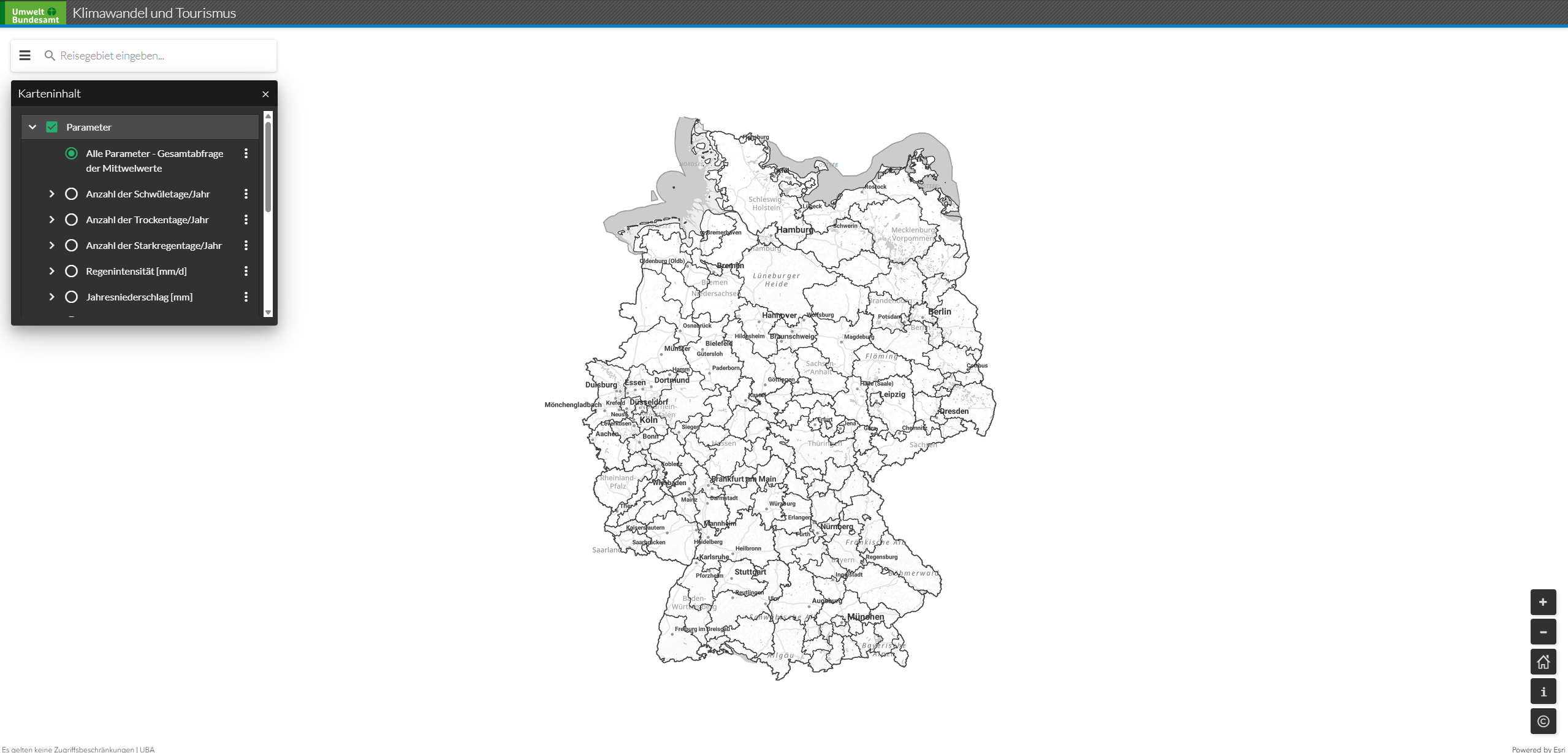
Key Features
- Interactive Climate Maps: Visualize temperature, precipitation, and snow cover changes across Germany
- Tourism Climate Index: Specialized indices measuring climate suitability for different tourism activities
- Regional Analysis: Detailed data for German states, tourism regions, and specific destinations
- Temporal Comparisons: Compare historical, current, and projected future climate conditions
- Seasonal Analysis: Examine climate impacts across different tourism seasons
- Scenario Planning: Multiple climate change scenarios for adaptation planning
- User-Friendly Interface: Intuitive mapping tools accessible to tourism professionals and planners
Climate Variables
- Temperature: Mean temperatures, heat waves, cooling degree days, and thermal comfort indices
- Precipitation: Rainfall patterns, drought conditions, and seasonal precipitation changes
- Snow Conditions: Snow cover duration, snow depth, and winter sports viability
- Wind Patterns: Wind speed and direction relevant for outdoor tourism activities
- Sunshine Hours: Solar radiation and daylight patterns affecting tourism comfort
- Extreme Events: Heat waves, heavy rainfall, storms, and other weather extremes
- Bioclimatic Indices: Specialized measures combining multiple climate factors for tourism assessment
Tourism Sectors Covered
- Winter Tourism: Skiing, snowboarding, and winter sports destinations
- Summer Tourism: Beach tourism, outdoor recreation, and warm-weather activities
- Cultural Tourism: City tourism and indoor attractions affected by climate conditions
- Nature Tourism: Hiking, cycling, and outdoor adventure activities
- Health Tourism: Spa and wellness tourism dependent on climate conditions
- Rural Tourism: Agritourism and countryside experiences
- Event Tourism: Outdoor festivals, sports events, and seasonal celebrations
Applications
- Tourism Adaptation Planning: Develop strategies for climate change adaptation in the tourism sector
- Destination Management: Assess climate risks and opportunities for tourism destinations
- Infrastructure Planning: Support climate-resilient tourism infrastructure development
- Marketing Strategy: Inform seasonal marketing and product development decisions
- Risk Assessment: Evaluate climate-related risks for tourism businesses and investments
- Policy Development: Support tourism and climate adaptation policy formulation
- Research and Education: Provide data for tourism and climate research studies
Use Cases
- Tourism Businesses: Assess climate risks and adapt operations to changing conditions
- Destination Management Organizations: Develop climate-informed tourism strategies and marketing
- Regional Planners: Integrate climate information into regional tourism development plans
- Government Agencies: Support tourism and climate adaptation policy development
- Research Institutions: Conduct studies on climate-tourism interactions in Germany
- Tourism Consultants: Provide evidence-based advice on climate adaptation for tourism clients
- Infrastructure Developers: Plan climate-resilient tourism facilities and amenities