UNEP SDG Portal is part of the World Environment Situation Room (WESR) that provides environmental data and indicators for tracking progress on the 17 Sustainable Development Goals (SDGs), supporting evidence-based monitoring of global sustainability targets and environmental commitments.
Developed by the United Nations Environment Programme (UNEP), this portal focuses on the 92 environment-related indicators out of the 247 total SDG indicators, providing essential data and analysis for understanding environmental progress toward the 2030 Agenda for Sustainable Development.
Whether you're working on SDG monitoring, environmental policy development, sustainability reporting, or research, the SDG Portal provides comprehensive environmental indicators and data for tracking global progress on sustainable development.
1. Comprehensive SDG Environmental Coverage
The SDG Portal provides environment-focused indicators across multiple goals:
SDG 6 - Clean Water and Sanitation:
- Water quality and availability indicators
- Sanitation access and wastewater treatment
- Water resource management efficiency
- Ecosystem protection for water security
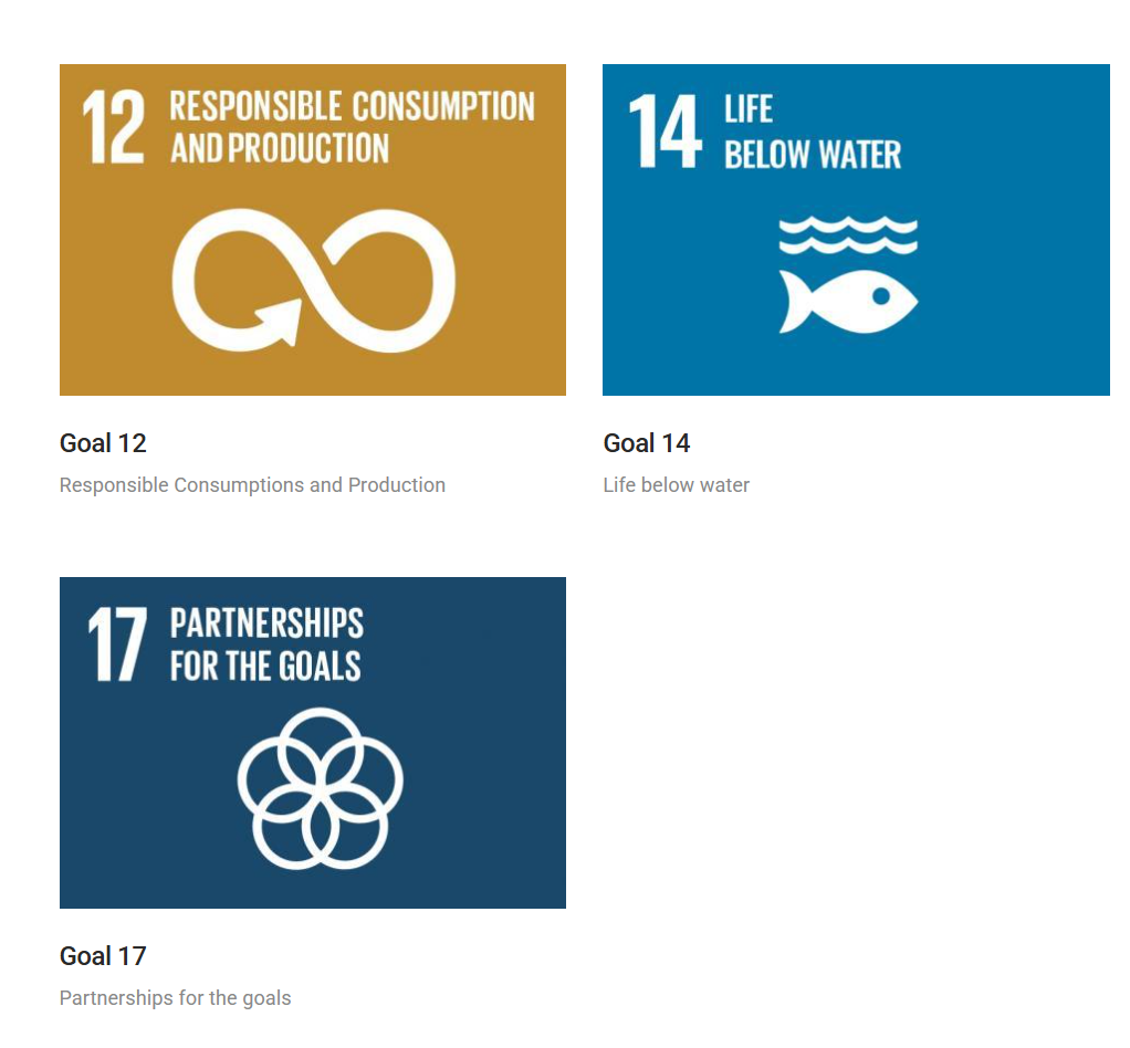
SDG 12 - Responsible Consumption and Production:
- Resource efficiency and material footprint
- Waste generation and management
- Sustainable production patterns
- Circular economy indicators
SDG 14 - Life Below Water:
- Marine ecosystem health and biodiversity
- Ocean acidification and pollution
- Fisheries sustainability and management
- Marine protected areas coverage
SDG 15 - Life on Land:
- Forest cover and deforestation rates
- Biodiversity conservation indicators
- Land degradation and restoration
- Protected area coverage and effectiveness
2. Data Visualization and Analysis Tools
The portal offers interactive data exploration capabilities:
Country Profiles:
- National-level SDG indicator data
- Regional comparisons and benchmarking
- Time series analysis and trend tracking
- Progress assessment toward SDG targets
Interactive Dashboards:
- Visual representations of environmental indicators
- Multi-indicator comparisons and correlations
- Geographic mapping of environmental conditions
- Custom data queries and filtering
3. Environmental Monitoring and Assessment
The SDG Portal supports comprehensive environmental monitoring:
Indicator Framework:
- Standardized methodologies for data collection
- Quality assurance and validation processes
- International comparability and consistency
- Regular updates and data refreshes
Assessment Tools:
- Gap analysis for environmental targets
- Progress tracking against baselines
- Policy effectiveness evaluation
- Early warning systems for environmental risks
4. Integration with Global Frameworks
The portal aligns with international environmental agreements:
Convention on Biological Diversity (CBD):
- Biodiversity indicators and targets
- Ecosystem health assessments
- Conservation effectiveness monitoring
Paris Agreement:
- Climate-related environmental indicators
- Adaptation and mitigation progress tracking
- Nature-based solutions contributions
Other MEAs:
- CITES, Ramsar, UNFCCD indicator alignment
- Regional environmental agreements support
- International cooperation tracking
5. Capacity Building and Knowledge Sharing
The SDG Portal provides educational and training resources:
- Methodology documentation and best practices
- Training materials for indicator development
- Technical guidance for data collection
- Knowledge products and case studies
- Expert networks and communities of practice
6. Policy and Decision Support
The portal enables evidence-based policy making:
Policy Analysis:
- Environmental policy effectiveness assessment
- Cross-sectoral impact analysis
- Trade-off identification between different goals
- Synergy mapping for integrated approaches
Planning Support:
- National development planning integration
- Environmental mainstreaming in policies
- Investment prioritization for environmental targets
- Monitoring framework development
Getting Started with SDG Portal
- Visit WESR SDG section at wesr.unep.org/article-category/browse-sdg
- Select SDG goals of interest (6, 12, 14, 15, etc.)
- Explore country data and regional comparisons
- Analyze environmental indicators and trends
- Access supporting documentation and methodologies
- Download data for further analysis and reporting
Use Cases
- SDG Reporting: Support national and international SDG progress reporting
- Environmental Policy: Develop evidence-based environmental policies and strategies
- Sustainability Assessment: Evaluate environmental performance and sustainability
- Research Applications: Access standardized environmental data for academic studies
- Investment Planning: Inform sustainable development investment decisions
- Capacity Building: Train stakeholders on environmental monitoring and assessment
The UNEP SDG Portal serves as a critical resource for tracking environmental progress toward the 2030 Agenda, providing the data and analysis needed to accelerate sustainable development and environmental protection worldwide.