Ecosystem Opportunity Mapping is an innovative geospatial analysis tool developed by UNEP GRID-Geneva that identifies locations where ecosystem-based solutions can reduce disaster risk while providing co-benefits for biodiversity conservation, climate regulation, and sustainable development.
This science-based platform supports the integration of nature-based solutions into disaster risk reduction planning by mapping opportunities for ecosystem restoration, protection, and management that can reduce vulnerability to natural hazards while delivering multiple environmental and social benefits.
Whether you're working on disaster risk reduction, ecosystem restoration, climate adaptation, or sustainable development planning, Opportunity Mapping provides essential insights for implementing nature-based solutions that build resilience.
1. Ecosystem-Based Disaster Risk Reduction
The tool focuses on nature-based approaches to disaster risk reduction:
Ecosystem Services for DRR:
- Flood regulation through wetlands and floodplains
- Coastal protection via mangroves and coral reefs
- Slope stabilization through forest and vegetation cover
- Storm buffering by natural barriers
- Drought mitigation through watershed management
Multi-Hazard Approach:
- Flooding risk reduction opportunities
- Coastal hazard protection mapping
- Landslide prevention through vegetation
- Storm surge mitigation potential
- Drought resilience enhancement
2. Spatial Analysis and Mapping Capabilities
The platform provides comprehensive geospatial analysis:
Opportunity Identification:
- High-resolution mapping of ecosystem opportunities
- Multi-criteria analysis for site prioritization
- Cost-benefit assessment integration
- Ecosystem service quantification
- Co-benefit mapping for multiple objectives
Geographic Coverage:
- Global datasets with regional focus options
- National and subnational analysis capabilities
- Watershed and basin scale assessments
- Local community level planning support
3. Integrated Assessment Framework
Opportunity Mapping employs holistic assessment approaches:
Risk Assessment Integration:
- Hazard exposure mapping and analysis
- Vulnerability assessment of communities and assets
- Risk reduction potential quantification
- Climate change impact considerations
- Social and economic vulnerability factors
Ecosystem Assessment:
- Current ecosystem condition and health
- Restoration potential and feasibility
- Biodiversity conservation value
- Carbon sequestration potential
- Water resource benefits
4. Co-Benefits Analysis
The tool emphasizes multiple benefit streams from ecosystem interventions:
Climate Benefits:
- Carbon storage and sequestration
- Climate regulation services
- Microclimate improvement
- Adaptation effectiveness enhancement
Biodiversity Benefits:
- Habitat restoration and connectivity
- Species conservation potential
- Ecosystem integrity improvement
- Ecological network strengthening
Socio-Economic Benefits:
- Livelihood opportunities and enhancement
- Tourism and recreation potential
- Water security improvement
- Food security and agriculture benefits
5. Decision Support Tools
Opportunity Mapping provides practical planning support:
Prioritization Tools:
- Multi-criteria decision analysis
- Cost-effectiveness comparisons
- Implementation feasibility assessment
- Stakeholder impact analysis
Planning Integration:
- Land use planning support
- Development planning integration
- Infrastructure planning coordination
- Conservation planning alignment
6. Data Sources and Methodology
The platform integrates diverse datasets:
Environmental Data:
- Satellite imagery and remote sensing
- Topographic and hydrological data
- Ecosystem and land cover maps
- Climate and weather information
Socio-Economic Data:
- Population density and demographics
- Infrastructure and development data
- Economic activity indicators
- Governance and institutional factors
Scientific Methodology:
- Peer-reviewed analytical approaches
- Validated models and algorithms
- Uncertainty quantification
- Quality assurance protocols
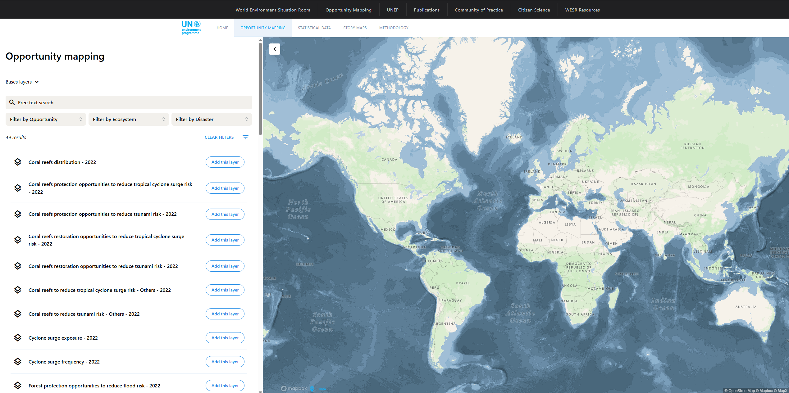
Getting Started with Opportunity Mapping
- Visit the platform at opportunity-mapping.unepgrid.ch
- Select your region of interest for analysis
- Choose hazard types and ecosystem services
- Explore opportunity maps and priority areas
- Analyze co-benefits and trade-offs
- Download results for planning integration
Use Cases
- National DRR Planning: Integrate ecosystem approaches into disaster risk reduction strategies
- Ecosystem Restoration: Identify priority areas for restoration with disaster risk benefits
- Climate Adaptation: Plan nature-based adaptation measures for climate resilience
- Sustainable Development: Align ecosystem conservation with development goals
- Infrastructure Planning: Incorporate green infrastructure for risk reduction
- Policy Development: Support evidence-based policies for ecosystem-based DRR
Ecosystem Opportunity Mapping transforms how we approach disaster risk reduction by revealing the potential of nature-based solutions to build resilience while delivering multiple benefits for people, biodiversity, and climate.