NASA World Viewer is a powerful real-time satellite imagery platform that provides free access to NASA's vast Earth observation data collection, enabling users to visualize and analyze Earth's dynamic processes including weather patterns, natural disasters, and environmental changes.
Part of NASA's Earthdata program, World Viewer offers immediate access to hundreds of high-quality satellite datasets with daily global coverage and historical archives spanning decades, making it an essential tool for scientists, educators, emergency responders, and the public.
Whether you're monitoring natural disasters, studying climate patterns, tracking environmental changes, or conducting research, World Viewer provides real-time satellite intelligence for understanding our changing planet.
1. Real-Time Satellite Imagery
World Viewer provides immediate access to current Earth observations:
Daily Global Coverage:
- MODIS and VIIRS satellite imagery
- True-color and false-color composites
- Real-time updates within hours of data acquisition
- Global coverage with high temporal resolution
Multiple Satellite Platforms:
- Terra and Aqua (MODIS sensors)
- Suomi NPP and NOAA-20 (VIIRS sensors)
- Landsat historical imagery
- Geostationary satellites for weather monitoring
2. Comprehensive Data Layers
The platform offers hundreds of data layers covering:
Atmospheric Monitoring:
- Aerosol optical depth and air quality
- Cloud properties and coverage
- Atmospheric composition (CO, NO2, SO2)
- Ozone and water vapor concentrations
Land and Vegetation:
- Vegetation indices (NDVI, EVI)
- Land surface temperature
- Snow and ice coverage
- Land cover classification
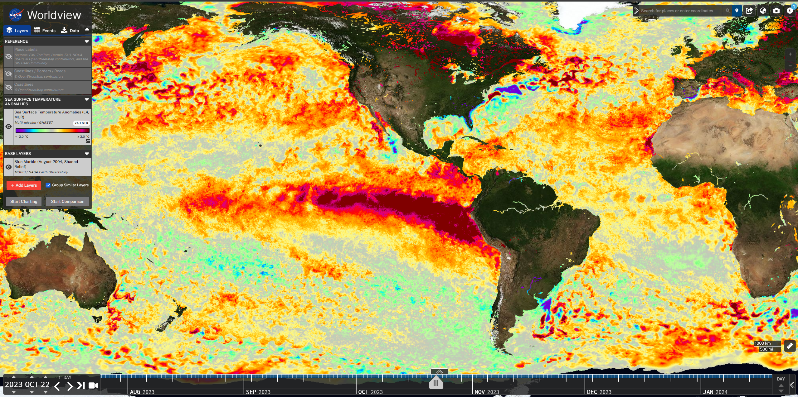
Ocean and Water:
- Sea surface temperature
- Ocean color and chlorophyll
- Sea ice extent and concentration
- Coastal and inland water quality
Natural Hazards:
- Active fire detection
- Flood monitoring
- Volcanic ash and emissions
- Dust storm tracking
3. Interactive Analysis Tools
World Viewer features powerful analysis capabilities:
- Time-lapse animations for trend analysis
- Before/after comparisons for change detection
- Data download in multiple formats
- Custom area selection and cropping
- Measurement tools for distance and area
- Data value inspection at pixel level
4. Disaster Response and Monitoring
The platform is essential for emergency response:
- Rapid damage assessment after natural disasters
- Fire spread monitoring and prediction
- Flood extent mapping and tracking
- Hurricane and typhoon tracking
- Volcanic activity monitoring
- Drought assessment through vegetation indices
5. Climate and Environmental Research
World Viewer supports scientific research:
- Long-term climate trend analysis
- Seasonal pattern identification
- Environmental change detection
- Ecosystem health monitoring
- Urban heat island studies
- Deforestation and land use change tracking
6. Educational and Outreach Applications
The tool is widely used for education and communication:
- Classroom teaching about Earth systems
- Public outreach and science communication
- Policy briefings with visual evidence
- Media and journalism for environmental stories
- Citizen science projects and engagement
Getting Started with NASA World Viewer
- Visit the platform at worldview.earthdata.nasa.gov
- Browse available data layers using the layer selection panel
- Navigate to your region of interest using the interactive map
- Adjust time settings to view current or historical data
- Create time-lapse animations to visualize changes over time
- Download imagery and data for reports, analysis, and presentations
- Share custom views with colleagues using permalink URLs
Use Cases
- Disaster Response: Monitor and assess natural disasters in real-time
- Environmental Monitoring: Track pollution, deforestation, and ecosystem health
- Climate Research: Analyze long-term trends and patterns
- Agriculture: Monitor crop health and growing conditions
- Urban Planning: Assess urban heat islands and development patterns
- Education: Teach Earth science and environmental awareness
NASA World Viewer democratizes access to the world's most comprehensive satellite imagery collection, enabling anyone to explore and understand our planet's complex and changing systems.