GRI Risk Viewer is the Global Resilience Index data and analytics portal that provides comprehensive climate-related risk assessments for infrastructure and populations worldwide.
This platform covers hazards, exposure, vulnerability, and risk analysis to support climate adaptation decision-making by identifying spatial vulnerabilities under current and future climate scenarios.
Key Features
- Multi-hazard assessment covering weather extremes and environmental hazards
- Infrastructure exposure mapping for transport, power, and critical systems
- Vulnerability indices for natural areas and population centers
- Risk analysis tools including direct damage assessments
- Climate scenario integration for future risk projections
- Open data accessibility with visualization and download capabilities
Risk Components
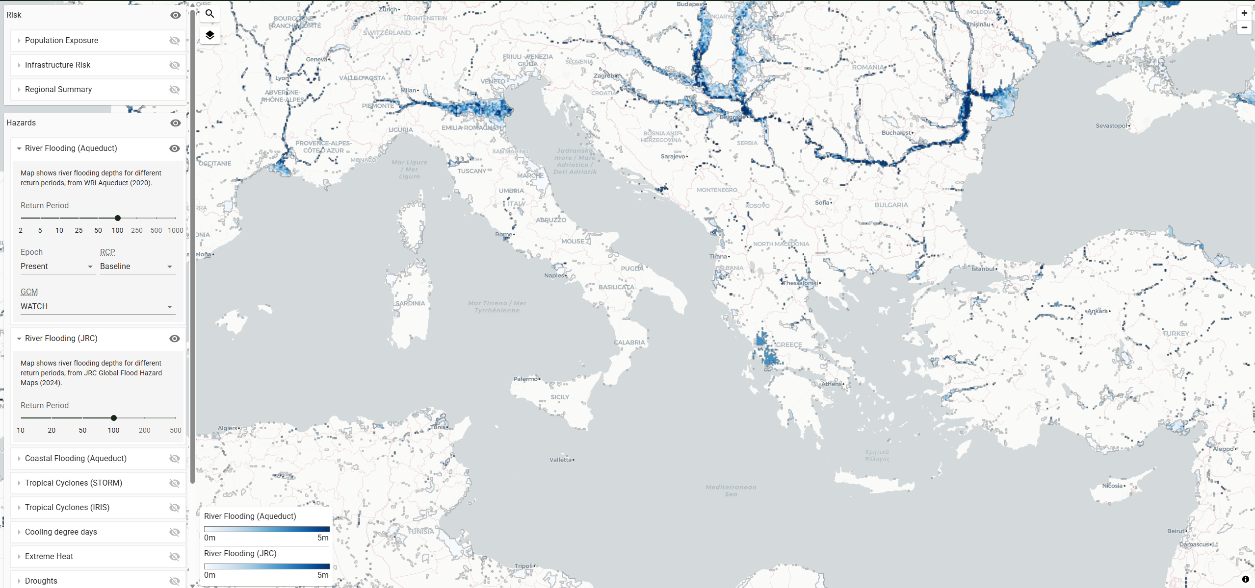
- Hazard Analysis: Weather extremes, flooding, drought, and other environmental threats
- Exposure Assessment: Population, infrastructure, and asset mapping exposed to hazards
- Vulnerability Evaluation: Social, economic, and physical vulnerability indicators
- Risk Quantification: Integrated risk assessments combining hazard, exposure, and vulnerability
- Damage Modeling: Direct damages to transport and power infrastructure
- Climate Projections: Future risk scenarios under different warming pathways
Data Categories
- Climate hazards including extreme precipitation, temperature, and wind events
- Infrastructure networks covering roads, railways, airports, and power systems
- Population data with demographic and socioeconomic characteristics
- Economic indicators for asset valuation and damage assessment
- Natural systems including ecosystems and environmental services
- Administrative boundaries for policy and planning applications
Applications
- Climate adaptation planning for governments and communities
- Infrastructure investment decisions and risk management
- Insurance industry risk modeling and premium assessment
- Development planning integrating climate resilience considerations
- Emergency preparedness and disaster risk reduction strategies
- Research and education on climate risk and adaptation
Use Cases
- Government agencies develop national and regional climate adaptation strategies
- Infrastructure operators assess risks to transport and energy systems
- Insurance companies model climate-related risks for pricing and coverage decisions
- International investors evaluate climate risks for development projects
- Researchers study climate vulnerability and resilience patterns globally
- Environmental impact evaluation for projects
- Research and analysis for academic and scientific purposes
- Policy development and regulatory compliance
- Educational and training applications
GRI Risk Viewer provides essential capabilities for understanding and addressing climate and nature-related challenges in today's changing world.