Global Infrastructure Risk Model and Resilience Index (GIRI) is a comprehensive global platform developed by the Coalition for Disaster Resilient Infrastructure (CDRI) in partnership with UNDP and leading scientific institutions. GIRI measures and analyzes infrastructure risk and resilience across major sectors including power, transport, telecommunications, water, education, and health systems worldwide.
The platform provides detailed risk assessments for infrastructure assets exposed to climate-related hazards, supporting evidence-based decision-making for disaster risk reduction, climate adaptation, and resilient infrastructure development across countries and income levels.
Key Features
- Multi-hazard risk assessment covering earthquakes, floods, cyclones, droughts, and climate-related disasters
- Infrastructure sector analysis for power, transport, telecommunications, water, health, and education systems
- Global coverage with country-specific and comparative risk assessments
- Economic loss calculations showing average annual losses across income groups and regions
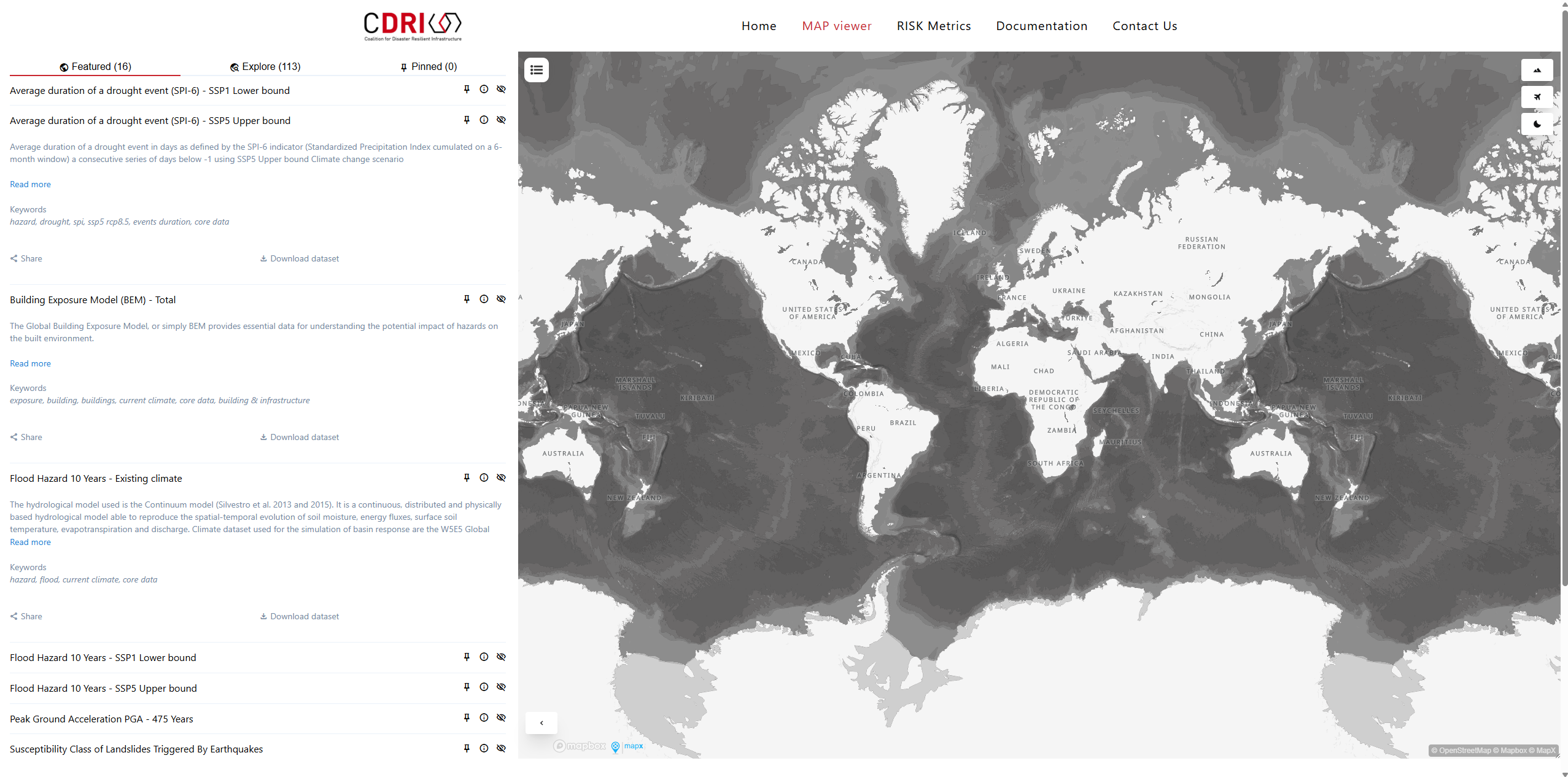
- Interactive mapping platform with over 100 hazard and risk data layers
- Resilience metrics measuring infrastructure capacity to withstand and recover from disasters
Applications
- Infrastructure investment planning prioritizing resilient infrastructure development projects
- Disaster risk reduction identifying vulnerable infrastructure systems and critical adaptation needs
- Climate adaptation planning supporting infrastructure resilience strategies under climate change
- Policy development informing national and international infrastructure resilience policies
- Insurance and finance assessing infrastructure risk for investment and insurance decisions
- International cooperation facilitating knowledge sharing on infrastructure resilience best practices
Infrastructure Sectors
- Power and energy systems including generation, transmission, and distribution networks
- Transportation infrastructure covering roads, railways, ports, and aviation facilities
- Telecommunications networks analyzing connectivity and communication system vulnerabilities
- Water and sanitation assessing water supply, treatment, and distribution system risks
- Health infrastructure evaluating hospital and healthcare facility disaster resilience
- Education systems analyzing school and university infrastructure vulnerability
Risk Assessment Components
- Hazard analysis using global datasets for natural disaster frequency and intensity
- Exposure mapping identifying infrastructure assets in hazard-prone areas
- Vulnerability assessment analyzing infrastructure susceptibility to different hazard types
- Risk quantification calculating potential damages and economic losses from disasters
- Resilience indicators measuring recovery capacity and adaptive capabilities
- Country comparisons enabling benchmarking and best practice identification
Technical Capabilities
- Interactive map viewer with customizable data layers and analysis tools
- Risk metrics dashboards providing country-level and cross-country comparative analysis
- Data download options enabling integration with other risk assessment and planning tools
- Multi-scale analysis from global overviews to national and sub-national assessments
- Scenario modeling assessing infrastructure risks under different climate and development scenarios
- Quality assurance maintaining scientific rigor and data reliability standards
Partnership and Development
- Scientific consortium including CIMA Research Foundation, INGENIAR Risk Intelligence, UNEP-GRID Geneva, and Norwegian Geotechnical Institute
- CDRI leadership with management by Coalition for Disaster Resilient Infrastructure
- Global Risk Model heritage building on 20 years of UN Global Assessment Report development
- International collaboration supporting global disaster risk reduction and climate adaptation goals
- Continuous development with regular updates and methodological improvements
Economic Impact Analysis
- Average annual losses calculated across income groups and development levels
- High-income countries facing USD $535 billion in annual infrastructure losses
- Upper-middle income countries experiencing USD $373 billion in annual losses
- Lower-middle income and low-income countries facing USD $127 billion and USD $10 billion respectively
- Sector-specific losses identifying priority areas for resilience investment
GIRI represents a critical tool for advancing global infrastructure resilience, supporting the achievement of Sendai Framework targets, Sustainable Development Goals, and Paris Agreement objectives through evidence-based infrastructure risk management and resilient development planning.