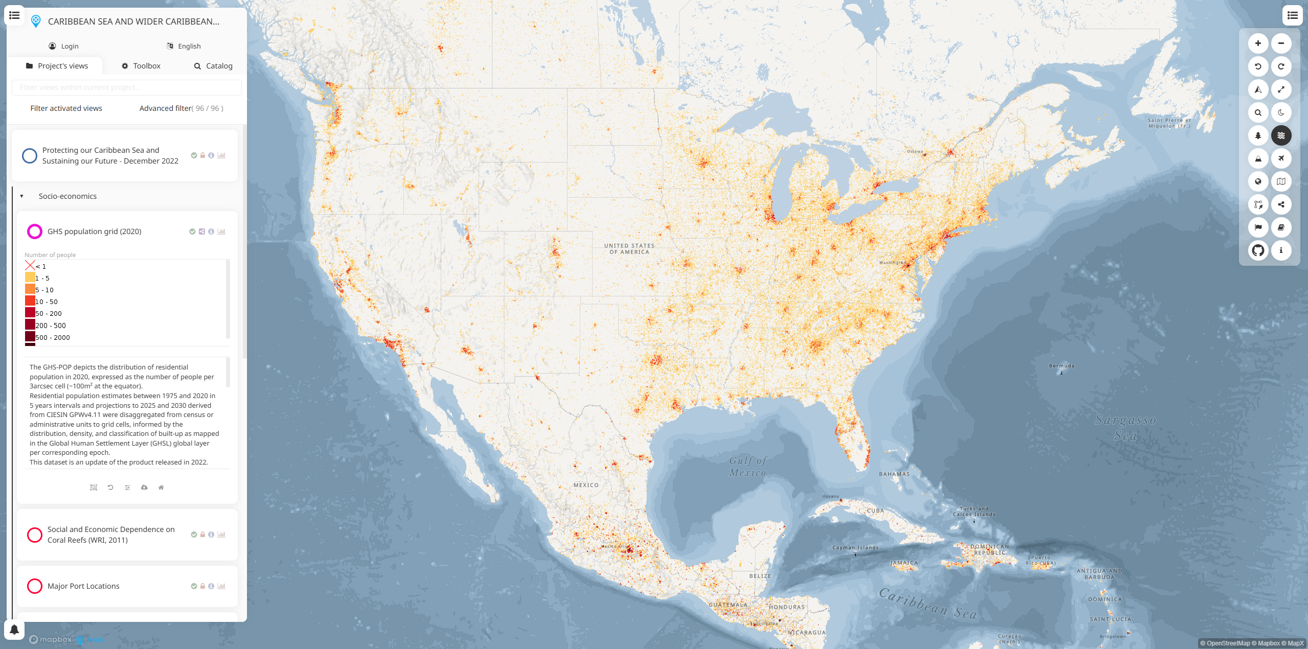
Caribbean Sea and Wider Caribbean is a specialized regional environmental monitoring platform within the UNEP World Environment Situation Room (WESR) network. It facilitates the compilation, integration, and dissemination of environmental information from national monitoring and assessment programs across the Caribbean region.
The platform serves as a central hub for environmental data sharing, enabling Caribbean nations to access standardized environmental information, track regional trends, and coordinate conservation efforts across the marine and coastal ecosystems of the Caribbean Sea and surrounding areas.
Key Features
- Regional data integration from national monitoring programs across Caribbean countries
- Interactive mapping interface for visualizing environmental conditions and trends
- Multi-thematic data layers covering marine, coastal, and terrestrial environments
- Country-specific environmental indicators and assessment reports
- Real-time monitoring capabilities for tracking environmental changes
- Data sharing protocols facilitating regional cooperation and coordination
Applications
- Regional environmental assessment for tracking ecosystem health across the Caribbean
- Marine conservation planning for protecting coral reefs, seagrass beds, and marine habitats
- Coastal zone management supporting sustainable coastal development and protection
- Climate change adaptation planning based on regional environmental trends
- Pollution monitoring tracking contaminants and their impacts on marine ecosystems
- Biodiversity conservation efforts across terrestrial and marine protected areas
Environmental Coverage
- Marine water quality including nutrient levels, pollution indicators, and pH measurements
- Coral reef health monitoring bleaching events, coverage, and biodiversity metrics
- Coastal erosion and sea-level change impacts on Caribbean shorelines
- Fish stocks and marine biodiversity assessments
- Land use changes affecting coastal and marine environments
- Climate variables including temperature, precipitation, and storm patterns
Regional Collaboration
- Multi-country data sharing through standardized monitoring protocols
- Regional reporting supporting Caribbean environmental policy development
- Capacity building initiatives for national environmental monitoring programs
- Scientific research support providing data for regional environmental studies
- International cooperation with global environmental monitoring networks
The Caribbean Sea and Wider Caribbean platform represents a critical resource for regional environmental governance, supporting evidence-based decision-making and coordinated conservation efforts across one of the world's most biodiverse marine regions.