Data Sources/Geofabrik

Geofabrik

Geofabrik provides free, structured OpenStreetMap (OSM) data extracts for GIS, navigation, and urban planning.

Transportation Planning

Design and optimize transportation networks, transit systems, and mobility infrastructure using spatial data.

Urban Planning

Plan urban development, zoning, and infrastructure improvements using land cover, demographic, and transportation data.

Supply Chain & Logistics

Optimize routing, distribution networks, and supply chain operations using transportation and infrastructure data.

Geofabrik

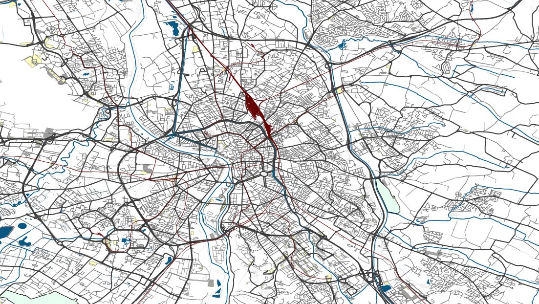
Geofabrik is the most common way GIS professionals actually get OpenStreetMap data into their workflows. OSM's own planet file is 70+ GB compressed and requires specialized tooling to process — Geofabrik eliminates that step by providing pre-cut regional extracts updated daily, organized by continent, country, and sub-region.

For most spatial analysis tasks that involve OSM data — road network analysis, building footprint extraction, land use mapping, POI analysis — Geofabrik is the starting point because it lets you download just the region you need in a format your GIS tools already understand.

The Shapefile extracts are particularly practical: Geofabrik pre-separates OSM data into thematic layers (roads, buildings, waterways, land use, POIs) so you can load them directly into Atlas, QGIS, or ArcGIS without running an OSM processing pipeline.

For more advanced workflows — routing engines, tile servers, or custom database imports — the PBF format feeds into standard tools like osm2pgsql and osmium. Either way, the daily update cycle means your extracts reflect the latest community edits, which matters in rapidly changing areas where road networks, building footprints, and land use are being actively mapped by OSM contributors.

How to use Geofabrik in Atlas?

Frequently Asked Questions

A German company that provides free, daily-updated OpenStreetMap data extracts organized by continent, country, and sub-region, pre-processed and ready for GIS use.

Yes. All OSM extracts on download.geofabrik.de are free under the OpenStreetMap ODbL license, requiring attribution and share-alike for derivative databases.

PBF (compressed OSM format), Shapefile (with thematic layers pre-extracted), and raw OSM XML. The Shapefile format is easiest for direct GIS use.

Daily. New extracts are generated every day from the latest OpenStreetMap data.

Geofabrik provides pre-cut regional extracts that are much smaller and faster to download than the full planet file. Use Geofabrik when you only need data for a specific country or region.

Details

CoverageGlobal
Layer TypeVector
Update FrequencyDaily
Categories
Mapping
Visit sourceUse data in Atlas

Discover more data sources

Marine Regions

Marine Regions is a standard list of georeferenced marine names and boundaries combining multiple authoritative sources, including Exclusive Economic Zones (EEZs), the IHO Sea Areas, and other marine geographic features. Essential for ocean GIS, fisheries management, and maritime policy analysis.

Marine, Boundaries, Environmental

Microsoft Building Footprints

AI-derived building footprints for over 1.2 billion buildings worldwide, free and open for GIS analysis.

Mapping

Global Human Settlement Layer (GHSL)

The Global Human Settlement Layer (GHSL) is a free dataset from the European Commission's Joint Research Centre mapping human settlements, population distribution, and urban extent globally from 1975 to present. Used for urban growth analysis, disaster risk assessment, and population modeling.

Demographics, Urban, Remote Sensing

NASA Earthdata

NASA Earthdata is a leading source of free, scientific-grade satellite data for climate, land, ocean, and atmospheric research. With access to MODIS, Landsat, GRACE, and other Earth observation satellites, it provides high-resolution, long-term datasets for GIS professionals and researchers.

Remote Sensing, Climate

Opendatasoft

Opendatasoft is a platform hosting thousands of public GIS datasets from cities, agencies, and companies.

Demographic

OpenStreetMap

OpenStreetMap (OSM) is one of the best free and open-source geospatial data sources. With constantly updated roads, buildings, and land use data, OSM is perfect for GIS, urban planning, navigation, and research. It offers global coverage, multiple formats, and developer-friendly APIs. Whether you need offline maps, real-time updates, or detailed geographic features, OSM is an essential tool for spatial analysis.

Mapping

OpenTopography

OpenTopography provides free, high-resolution elevation and LiDAR data for GIS, remote sensing, and environmental analysis.

Elevation

Eurostat

Eurostat provides harmonized European statistics for population, economy, and infrastructure.

Demographic