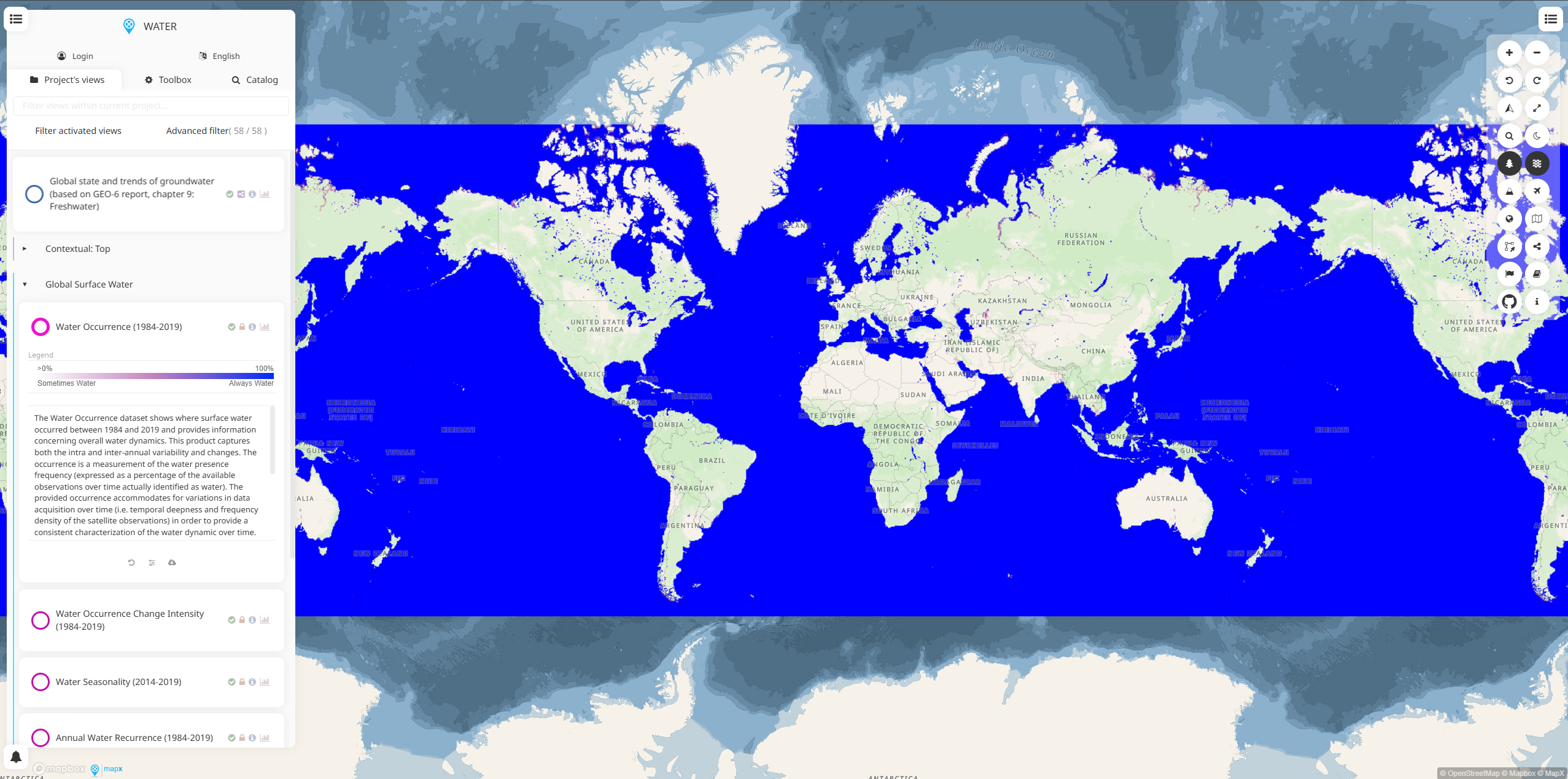
WESR Water is a specialized geospatial workspace within the MapX platform focused on water resources management and monitoring.
This interactive mapping platform provides access to global and regional water-related datasets for environmental analysis, policy development, and water security assessment.
Key Features
- Interactive water resource maps with multiple data layers and indicators
- Global and regional datasets covering water availability, quality, and usage
- Multi-scale analysis tools from global overviews to local watershed assessments
- Real-time and historical data for trend analysis and monitoring
- Customizable visualizations with adjustable parameters and filters
- Data download capabilities for offline analysis and reporting
Data Categories
- Water availability including precipitation, runoff, and groundwater data
- Water quality indicators covering pollution sources and contamination levels
- Water stress and scarcity assessments at basin and country levels
- Hydrological infrastructure including dams, reservoirs, and treatment facilities
- Climate impact projections on water resources under different scenarios
- Socio-economic water data linking water access to development indicators
Applications
- Water resource planning for municipalities and regional authorities
- Environmental impact assessment for development projects
- Drought monitoring and early warning systems
- Watershed management and conservation planning
- Water security analysis for national and regional strategies
- Research and education in hydrology and water management
Use Cases
- Government agencies develop national water strategies and allocation policies
- Environmental consultants assess water impacts for infrastructure projects
- NGOs and international organizations monitor water access and quality globally
- Researchers study climate change impacts on regional water systems
- Water utilities plan infrastructure investments and resource management
- Environmental impact evaluation for projects
- Research and analysis for academic and scientific purposes
- Policy development and regulatory compliance
- Educational and training applications
WESR Water provides essential capabilities for understanding and addressing climate and nature-related challenges in today's changing world.

