WESR Ocean is the Global Environment Monitoring System for the Ocean and Coasts (GEMS Ocean) that provides comprehensive marine environmental data, monitoring tools, and analytical capabilities for ocean and coastal ecosystems worldwide. This platform supports marine conservation, sustainable ocean management, and evidence-based decision-making for ocean health and coastal protection.
The system integrates oceanographic data, coastal observations, and marine ecosystem indicators to provide a holistic view of ocean conditions, supporting both scientific research and policy development for marine environmental protection.
Key Features
- Ocean Health Indicators: Comprehensive metrics for assessing marine ecosystem health and condition
- Coastal Monitoring: Real-time and historical data on coastal environmental conditions
- Marine Pollution Tracking: Monitor plastic pollution, chemical contamination, and marine debris
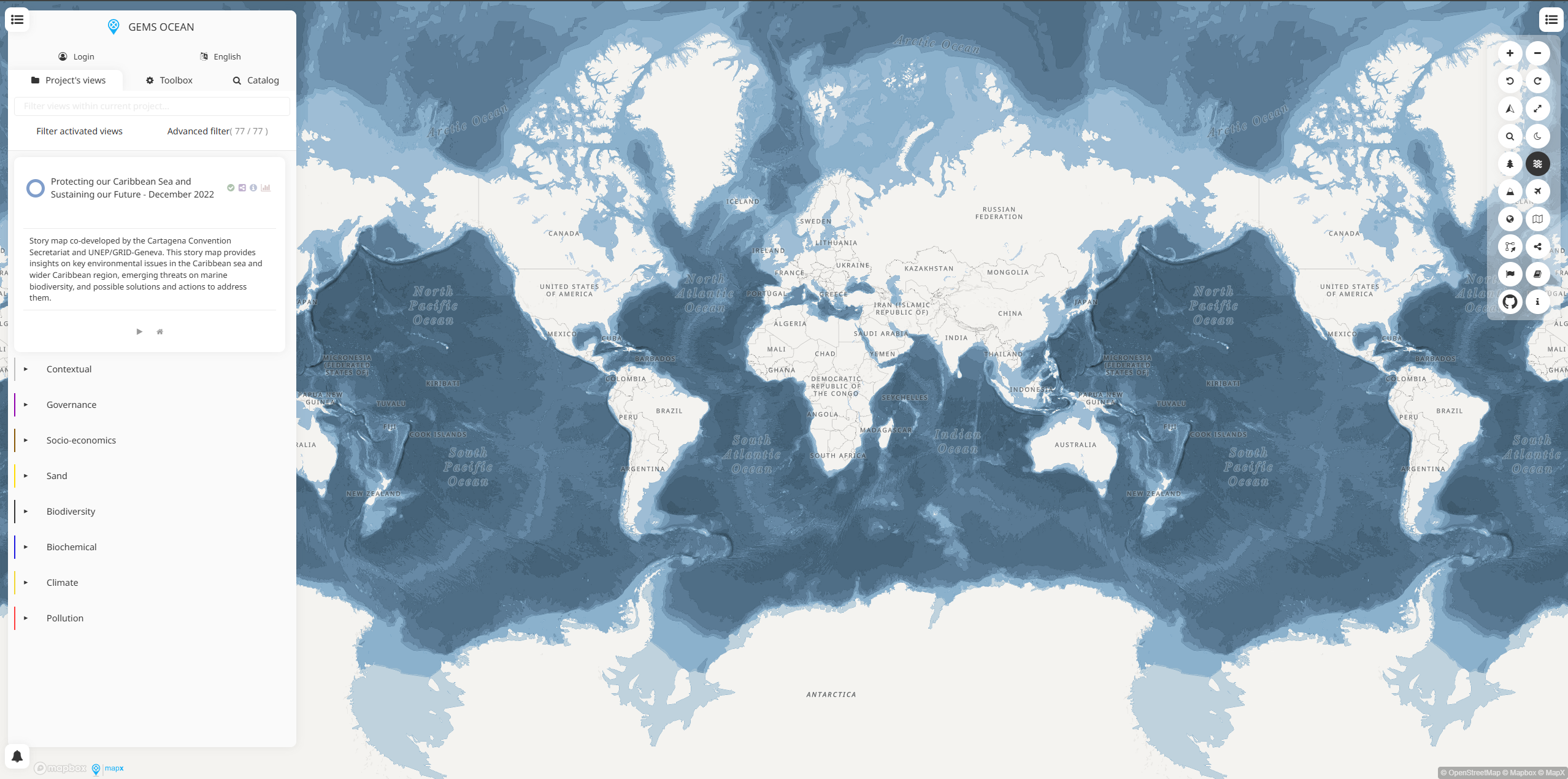
- Interactive Ocean Maps: Visualize oceanographic data and marine environmental conditions globally
- Climate-Ocean Interactions: Data on ocean warming, acidification, and sea level rise
- Biodiversity Monitoring: Track marine species distributions and ecosystem changes
- Data Integration Platform: Combine multiple marine datasets for comprehensive analysis
Marine Environmental Data
- Ocean Chemistry: Sea surface temperature, salinity, pH levels, and dissolved oxygen
- Marine Pollution: Plastic debris, chemical contaminants, oil spills, and eutrophication
- Coastal Conditions: Water quality, coastal erosion, habitat degradation, and development impacts
- Marine Biodiversity: Species abundance, distribution patterns, and ecosystem health
- Fisheries Data: Fish stock assessments, fishing pressure, and sustainable fisheries indicators
- Ocean Circulation: Current patterns, upwelling systems, and oceanographic processes
- Climate Variables: Sea level rise, ocean warming trends, and extreme weather impacts
Monitoring Capabilities
- Real-Time Ocean Data: Live oceanographic measurements from monitoring buoys and sensors
- Satellite Observations: Remote sensing data for ocean color, temperature, and surface conditions
- Coastal Surveys: Field measurements and coastal environmental assessments
- Marine Protected Areas: Monitoring of conservation effectiveness and ecosystem recovery
- Pollution Source Tracking: Identification and monitoring of marine pollution sources
- Long-Term Trends: Historical data analysis for detecting environmental changes
- Early Warning Systems: Alerts for harmful algal blooms, pollution events, and ecosystem stress
Applications
- Marine Conservation: Support marine protected area management and ecosystem restoration
- Ocean Policy Development: Inform marine spatial planning and ocean governance
- Climate Change Assessment: Monitor ocean climate impacts and adaptation needs
- Pollution Control: Track and manage marine pollution sources and impacts
- Sustainable Fisheries: Support ecosystem-based fisheries management
- Coastal Management: Inform coastal zone planning and protection strategies
- Research Support: Provide data for marine science and oceanographic research
Use Cases
- Marine Scientists: Access comprehensive ocean data for research and analysis
- Coastal Managers: Monitor coastal conditions and plan protection strategies
- Environmental Agencies: Track marine pollution and enforce environmental regulations
- Conservation Organizations: Monitor marine protected areas and ecosystem health
- Fisheries Managers: Assess fish stocks and implement sustainable fishing practices
- Climate Researchers: Study ocean-climate interactions and sea level rise impacts
- International Organizations: Support global ocean governance and marine policy development