Rohstoffinformationssystem (ROSYS) is an interactive raw materials information system developed by the German Mineral Resources Agency (DERA) that provides comprehensive data and analysis on approximately 80 mineral and energy resources worldwide. This system serves as Germany's central platform for monitoring global resource markets, supply chains, and strategic materials critical for industrial production and future technologies.
ROSYS enables users to track and analyze global resource production, consumption, reserves, trade flows, and market developments through interactive maps and charts, supporting resource security assessments and strategic decision-making for both government and industry.
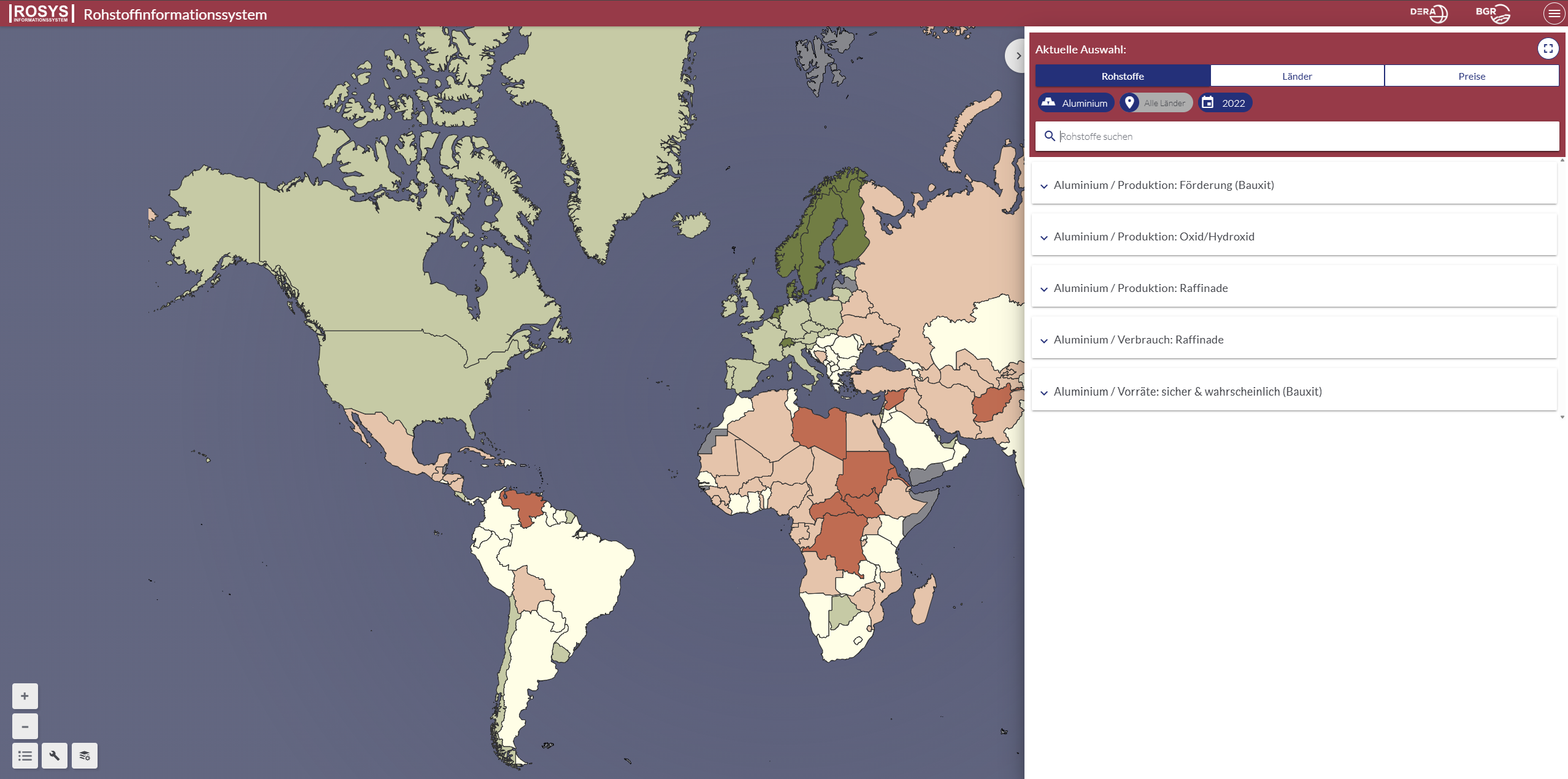
Key Features
- Interactive Maps: Visualize global production sites, trade routes, and resource distribution patterns
- Market Data: Current and historical data on prices, production volumes, and consumption trends
- Resource Profiles: Detailed information on 80+ mineral and energy raw materials
- Trade Analysis: Import/export flows and Germany's key trading partners for each resource
- Critical Materials Focus: Emphasis on materials essential for renewable energy and digital technologies
- Time Series Analysis: Track market developments and supply chain changes over time
- Reserve Data: Global reserves and resource availability assessments
Resource Categories
- Critical Raw Materials: Rare earth elements, lithium, cobalt, graphite, and other technology metals
- Base Metals: Copper, aluminum, zinc, lead, nickel, and other industrial metals
- Precious Metals: Gold, silver, platinum group metals for industrial and investment purposes
- Industrial Minerals: Construction materials, chemical raw materials, and specialty minerals
- Energy Resources: Conventional and renewable energy raw materials
- Recycling Materials: Secondary raw materials and circular economy indicators
Applications
- Resource Security Assessment: Evaluate supply risks and dependencies for critical materials
- Trade Policy Development: Support international resource diplomacy and trade agreements
- Industrial Planning: Inform procurement strategies and supply chain risk management
- Investment Analysis: Assess market opportunities in the global resources sector
- Research Support: Provide data for economic and geological research projects
- Strategic Planning: Support national resource strategies and policy development
- Education and Training: Resource economics and market analysis education
Use Cases
- Government Agencies: Monitor resource supply security and develop strategic reserves policies
- Manufacturing Companies: Assess raw material availability and supply chain risks for production planning
- Mining Companies: Analyze global market conditions and identify investment opportunities
- Research Institutions: Access comprehensive data for resource economics and geological studies
- Financial Analysts: Evaluate commodity markets and resource-related investment opportunities
- Policy Makers: Develop resource strategies and international cooperation frameworks
- Consultants: Support clients with resource market analysis and supply chain assessments
- Policy development and regulatory compliance
- Educational and training applications
Rohstoffinformationssystem (ROSYS) provides essential capabilities for understanding and addressing climate and nature-related challenges in today's changing world.