NASA Earthdata GIS is a comprehensive web-based geospatial platform that provides direct access to NASA's extensive collection of Earth science data and satellite imagery. This portal offers powerful visualization and analysis tools for exploring climate patterns, environmental changes, natural disasters, and atmospheric conditions using data from NASA's fleet of Earth-observing satellites and instruments.
The platform integrates multiple NASA datasets into an interactive mapping interface, enabling users to analyze everything from real-time weather patterns to long-term climate trends, land use changes, ocean conditions, and atmospheric composition without requiring specialized GIS software.
Key Features
- Interactive Web Maps: Browser-based mapping interface requiring no software downloads
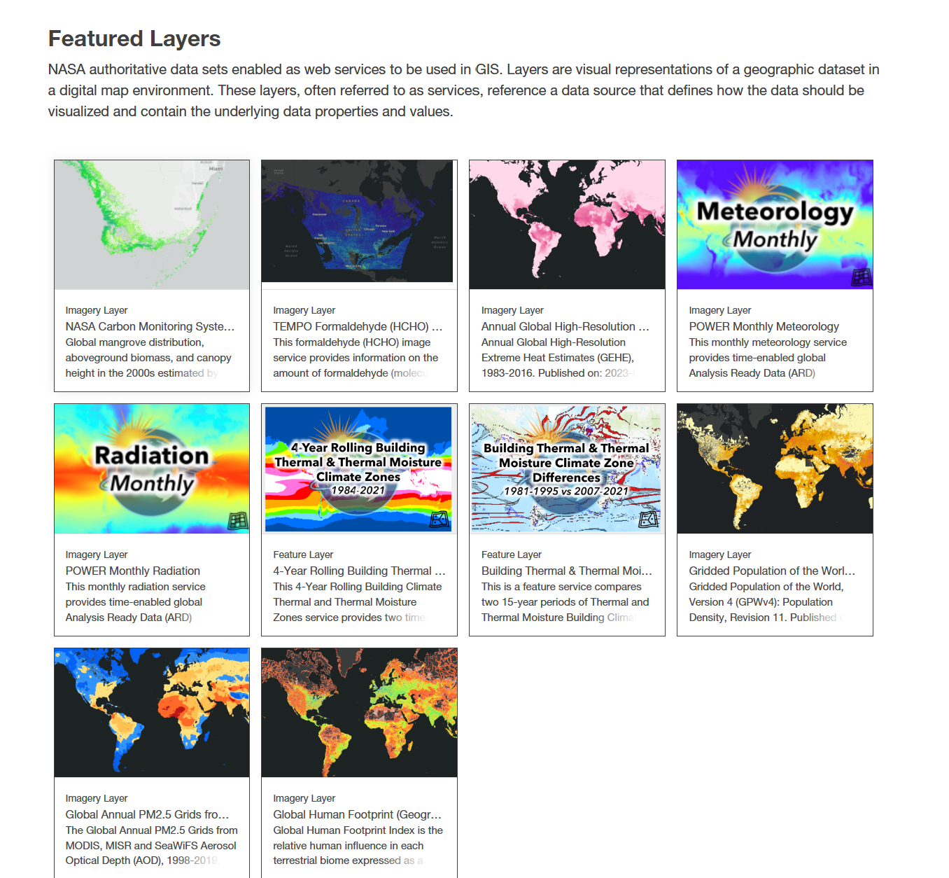
- Multi-Mission Data: Access to data from MODIS, Landsat, VIIRS, AIRS, GRACE, and other NASA missions
- Real-Time Data: Near real-time satellite data for current conditions and events
- Time Series Analysis: Tools for analyzing temporal changes and trends in Earth systems
- Layer Comparison: Side-by-side comparison of different datasets and time periods
- Data Download: Export selected data and imagery for offline analysis
- Mobile Responsive: Optimized for use on tablets and mobile devices
Data Categories
- Atmosphere: Air quality, aerosols, greenhouse gases, atmospheric temperature and humidity
- Land: Vegetation indices, land cover classification, surface temperature, snow and ice cover
- Ocean: Sea surface temperature, ocean color, sea level, ocean currents
- Climate: Long-term climate indicators, precipitation, temperature anomalies
- Natural Hazards: Wildfire detection, flood mapping, volcanic activity, severe weather
- Human Dimensions: Population density, urban development, agricultural patterns
Applications
- Environmental Monitoring: Track deforestation, urbanization, and ecosystem changes
- Climate Research: Analyze long-term climate trends and variability patterns
- Disaster Response: Monitor natural disasters and assess environmental impacts
- Agricultural Planning: Monitor crop conditions, drought, and growing season patterns
- Water Resources: Track water availability, drought conditions, and hydrological cycles
- Air Quality Assessment: Monitor pollution levels and atmospheric composition
- Conservation Planning: Assess habitat changes and biodiversity indicators
Use Cases
- Emergency Managers: Monitor wildfires, floods, and other natural disasters in real-time
- Climate Scientists: Access comprehensive Earth observation data for research analysis
- Environmental Consultants: Conduct environmental impact assessments using satellite data
- Agricultural Specialists: Monitor crop health, irrigation needs, and harvest timing
- Urban Planners: Analyze urban growth patterns and environmental impacts
- Conservation Organizations: Track habitat loss and ecosystem health indicators
- Educators: Teach Earth science concepts using real satellite imagery and data
- Policy development and regulatory compliance
- Educational and training applications
NASA Earthdata GIS provides essential capabilities for understanding and addressing climate and nature-related challenges in today's changing world.