Geoportal der BfG is the comprehensive geospatial data portal of the Federal Institute of Hydrology (Bundesanstalt für Gewässerkunde - BfG), providing access to decades of hydrological, ecological, and waterway-related information collected through Germany's federal waterways monitoring and research activities. The portal serves as the central hub for accessing the BfG's extensive collection of water-related geographic data and analytical tools.
Through the GGInA system (Gewässerkundliches Geografisches Informations- und Analysesystem), the portal provides researchers, water managers, and policy makers with access to valuable hydrological datasets, water quality information, and specialized analytical applications supporting water resource management and climate adaptation planning.
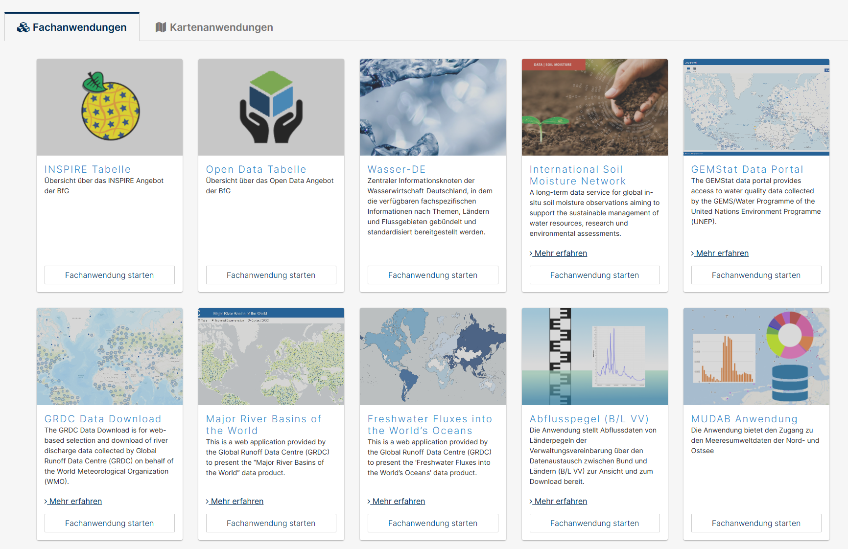
Key Features
- GGInA system providing comprehensive geographic information and analysis capabilities for water resources
- Multi-domain data access covering hydrology, water quality, sediment transport, and aquatic ecology
- Specialized applications including UNDINE water information platform and various sediment databases
- International data services hosting Global Runoff Data Centre (GRDC) and GEMS/Water Programme data
- INSPIRE compliance ensuring European interoperability standards for spatial data
- Open Data initiatives providing free access to selected hydrological datasets
Applications
- Water resource management supporting river basin planning and flood risk assessment
- Climate impact assessment using long-term hydrological data for trend analysis
- Waterway planning informing navigation and infrastructure development decisions
- Environmental monitoring tracking water quality and ecosystem health in German waterways
- Research support providing data for hydrological, ecological, and climate studies
- International cooperation facilitating data exchange through global water monitoring networks
Data Services
- UNDINE platform providing current and historical water flow and quality data for major German rivers
- GRDC Data Portal offering global river discharge data through the World Meteorological Organization
- Sediment databases containing suspended sediment and bed load transport information
- Marine environmental data for North Sea and Baltic Sea monitoring (MUDAB)
- International Soil Moisture Network supporting global soil moisture observations
- GEMStat Portal providing access to global water quality data from UN Environment Programme
Geographic Coverage
- German federal waterways including Rhine, Elbe, Weser, Ems, Oder, and Danube river systems
- North Sea and Baltic Sea marine environmental monitoring data
- International river basins through global data center responsibilities
- Federal and state coordination supporting water data exchange agreements
- European water bodies contributing to EU water framework directive reporting
Technical Capabilities
- Web-based GIS applications providing interactive mapping and analysis tools
- ArcGIS Portal integration enabling advanced spatial analysis capabilities
- Data download services supporting automated access to time series and spatial datasets
- Metadata catalogs ensuring data discoverability and quality documentation
- API services enabling programmatic access to hydrological data
- Multi-format support providing data in various scientific and GIS formats
Specialized Platforms
- WasserBLIcK supporting national water reporting to the European Union
- Wasser-DE serving as Germany's central water information hub
- Freshwater Fluxes monitoring continental freshwater inputs to world oceans
- Major River Basins providing global watershed delineation and characteristics
- B/L VV gauge data accessing federal-state water level and flow measurements
The Geoportal der BfG represents a critical infrastructure for water resource management in Germany, supporting evidence-based decision-making through comprehensive hydrological data services and fostering international cooperation in global water monitoring and research initiatives.