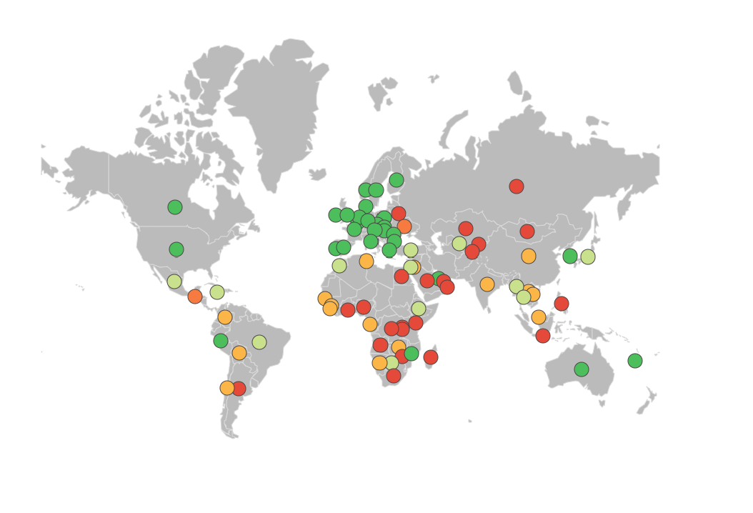
Compare your country - Trade in raw materials is an interactive data visualization platform developed by the OECD that provides comprehensive analysis of global trade patterns, export restrictions, production levels, and reserves for critical raw materials. The tool enables users to compare countries' positions in global raw material markets and understand supply chain dependencies and vulnerabilities.
This platform is particularly valuable for understanding the geopolitical and economic dimensions of raw material access, which is increasingly important for climate action technologies, renewable energy infrastructure, and sustainable development transitions that depend on critical minerals and materials.
Key Features
- Interactive country comparisons showing relative positions in raw material production and trade
- Export restriction tracking monitoring government policies that limit raw material exports
- Production data analysis covering mining output and processing capabilities by country
- Reserve assessments displaying known geological reserves of critical materials
- Trade flow visualization showing import-export relationships and dependencies
- Time series analysis tracking changes in production, reserves, and trade patterns over time
Applications
- Supply chain risk assessment for businesses dependent on critical raw materials
- Policy analysis supporting government strategies for resource security and trade policy
- Investment planning identifying opportunities and risks in raw material sectors
- Climate technology deployment understanding material availability for renewable energy and clean tech
- Academic research providing data for studies on resource economics and geopolitics
- International cooperation informing multilateral discussions on raw material governance
Raw Material Coverage
- Critical minerals essential for renewable energy technologies (lithium, cobalt, rare earth elements)
- Industrial metals including copper, aluminum, nickel, and zinc
- Energy materials covering coal, oil, gas, and uranium resources
- Agricultural commodities including fertilizer minerals and food crop inputs
- Construction materials such as iron ore, cement ingredients, and aggregates
- Technology materials required for electronics, batteries, and advanced manufacturing
Data Dimensions
- Production statistics showing annual output by country and material type
- Reserve data indicating proven and probable reserves of raw materials
- Export restrictions documenting tariffs, quotas, and export bans by country
- Trade values showing monetary flows and market shares in global trade
- Concentration indices measuring market concentration and supply risk
- Price information tracking commodity price trends and volatility
Analytical Capabilities
- Country ranking systems comparing nations across multiple raw material indicators
- Vulnerability assessments identifying countries with high import dependencies
- Market concentration analysis measuring supplier diversity and monopolization risks
- Policy impact evaluation assessing effects of export restrictions on global markets
- Trend analysis tracking long-term changes in production, trade, and policy landscapes
The OECD's Compare your country - Trade in raw materials tool provides essential insights for understanding global raw material dynamics, supporting informed decision-making on resource security, climate technology deployment, and sustainable economic development strategies.
