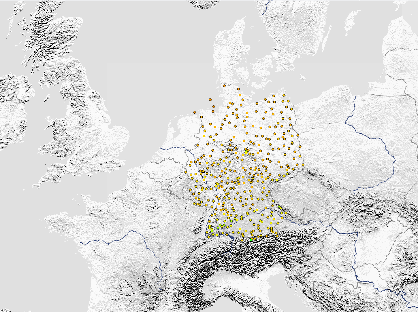
Climate Data Center, Deutscher Wetterdienst is the official climate data portal operated by Germany's National Meteorological Service (Deutscher Wetterdienst - DWD). The platform provides comprehensive access to high-quality meteorological and climatological data collected from Germany's extensive network of weather stations, representing over 140 years of systematic weather observations.
The Climate Data Center serves as the authoritative source for German climate data, offering free access to historical weather records, current observations, and climate statistics that support scientific research, climate monitoring, and evidence-based decision-making across various sectors.
Key Features
- Extensive historical records dating back to 1881 from Germany's weather station network
- Real-time meteorological data from automated weather stations across the country
- Multiple data formats including ASCII, NetCDF, and other standard formats for easy integration
- Quality-controlled datasets with comprehensive metadata and documentation
- Free data access supporting open science and transparent climate information sharing
- Regular data updates ensuring access to the most current observations and records
Applications
- Climate research providing baseline data for climate change studies and trend analysis
- Agricultural planning supporting crop selection, irrigation, and farming decisions
- Construction industry informing building design and infrastructure planning based on climate conditions
- Energy sector supporting renewable energy assessments and demand forecasting
- Insurance industry providing data for weather-related risk modeling and actuarial analysis
- Environmental monitoring supporting ecosystem studies and environmental impact assessments
Data Categories
- Temperature data including daily, monthly, and annual temperature records and extremes
- Precipitation measurements covering rainfall, snowfall, and seasonal precipitation patterns
- Wind observations including speed, direction, and gust measurements
- Humidity and pressure atmospheric pressure readings and relative humidity measurements
- Sunshine duration and solar radiation data supporting renewable energy applications
- Extreme weather events documenting storms, heatwaves, droughts, and other extreme conditions
Temporal Coverage
- Long-term climate series spanning over 140 years for climate trend analysis
- Daily observations providing detailed temporal resolution for specific studies
- Monthly and annual summaries for climate monitoring and statistical analysis
- Real-time data updated regularly for current conditions and short-term forecasting
- Seasonal datasets supporting seasonal climate analysis and agricultural applications
Technical Capabilities
- FTP and web-based access allowing automated data retrieval and manual downloads
- Standardized data formats ensuring compatibility with scientific analysis software
- Comprehensive documentation including station metadata, measurement protocols, and quality flags
- Search and filtering tools enabling efficient data discovery and selection
- API access for programmatic data retrieval and integration with external systems
The Climate Data Center, Deutscher Wetterdienst represents a critical resource for understanding Germany's climate, supporting the country's contributions to international climate research, and enabling evidence-based adaptation strategies for climate change impacts.