

August was packed with features that make Atlas more powerful and flexible than ever. We shipped tools for advanced data analysis, better data connections, and smarter workflows. From AI-powered data fields to precise mask filtering, these updates give you more control over your spatial analysis.
Here's the full breakdown:
New Features
Mask filter
Apply precise spatial filters to your data with the new mask filter. Select any area on your map and instantly filter your datasets to only show features within that boundary. Perfect for isolating analysis to specific regions, neighborhoods, or custom areas of interest.
Private Google Sheets integration
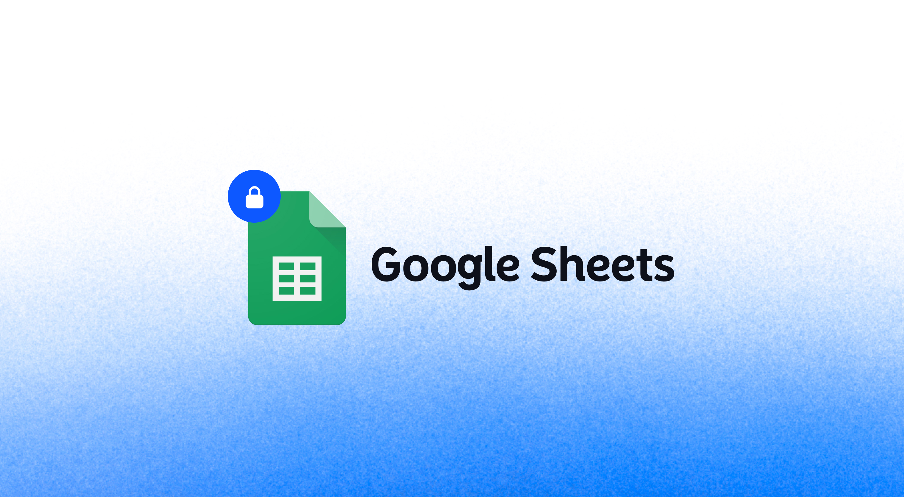
Connect to private Google Sheets with full authentication support. No more need to make your sheets public — Atlas now securely connects to your private Google Sheets while maintaining your data privacy and access controls.
AI data field
Transform your data with AI-powered field generation. Describe what you want in plain language, and Atlas will create new data fields based on your existing information. Whether you need categorizations, calculations, or data enrichments, the AI data field understands your intent and delivers results.
Multi-select layers
Select and manipulate multiple layers at once. Hold Ctrl (or Cmd) to select multiple layers in your layer panel, then apply styling, visibility changes, or operations to all selected layers simultaneously. A huge time-saver for complex projects with many datasets.
Imperial units support
Switch between metric and imperial units across all measurements and analysis tools. Distance calculations, area measurements, and spatial operations now display in feet, miles, and acres alongside metric options. Choose your preferred units in project settings.
Download data in shared maps
Let your viewers export filtered data from your shared maps. Add a Button widget with download dataset action and enable downloads with a single click.
Postgres connection
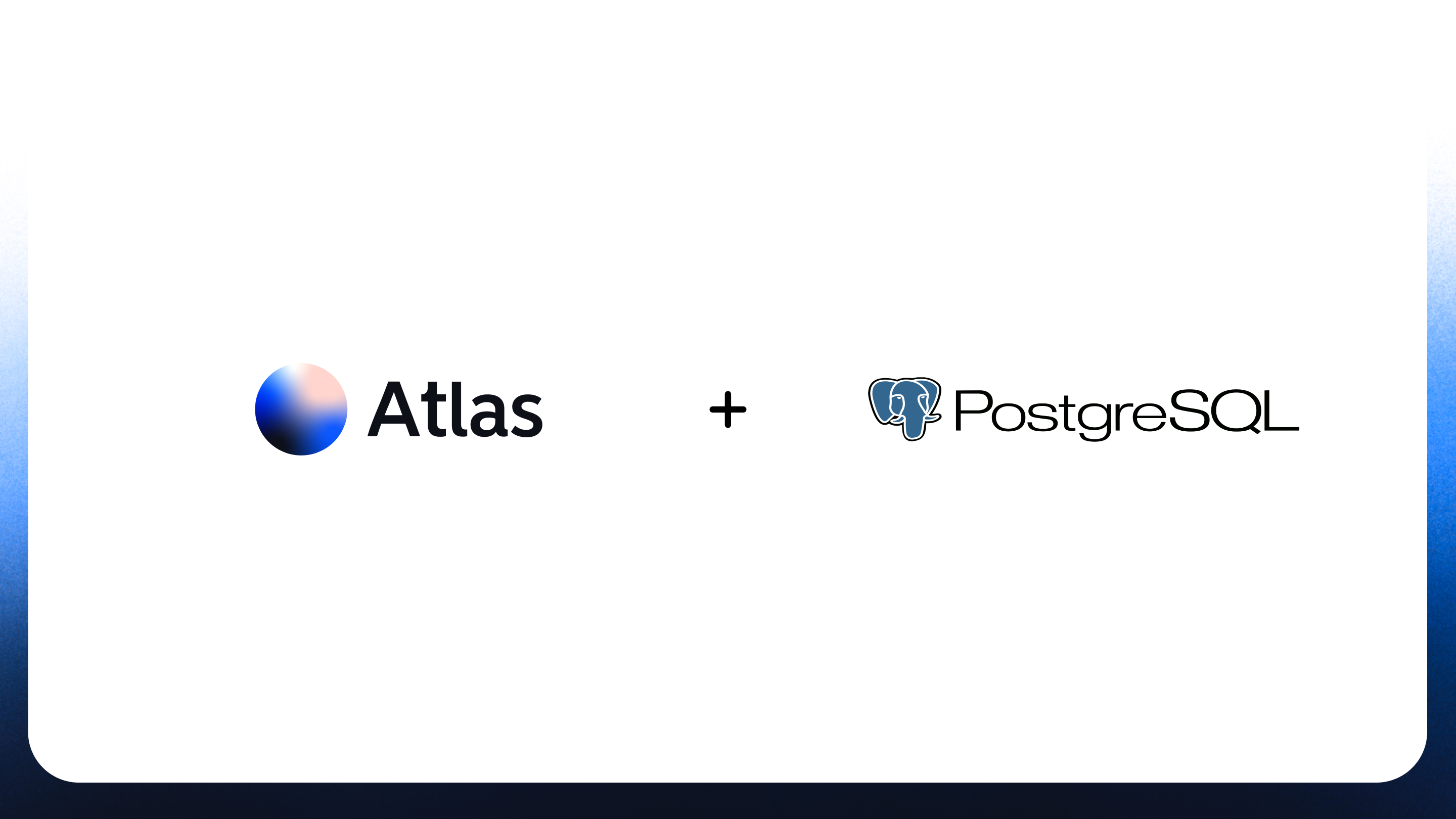
Connect directly to PostgreSQL databases with full spatial data support. Import PostGIS geometries, run spatial queries, and keep your enterprise data in sync. Supports both read-only connections and live data updates.
Feedback
Improving Atlas is our top priority. We're fully focused on making things faster, smoother, and more reliable — both in the small details and the bigger workflows. If you've hit a bug, felt stuck, or thought "this could be better"… we want to hear it.
We've set up a dedicated Feedback portal where you can report issues, suggest improvements, or request features — all in one place. It goes straight to the engineering team. Every submission helps us make Atlas better for everyone.

