Elevation Finder
Find elevation anywhere on Earth in seconds
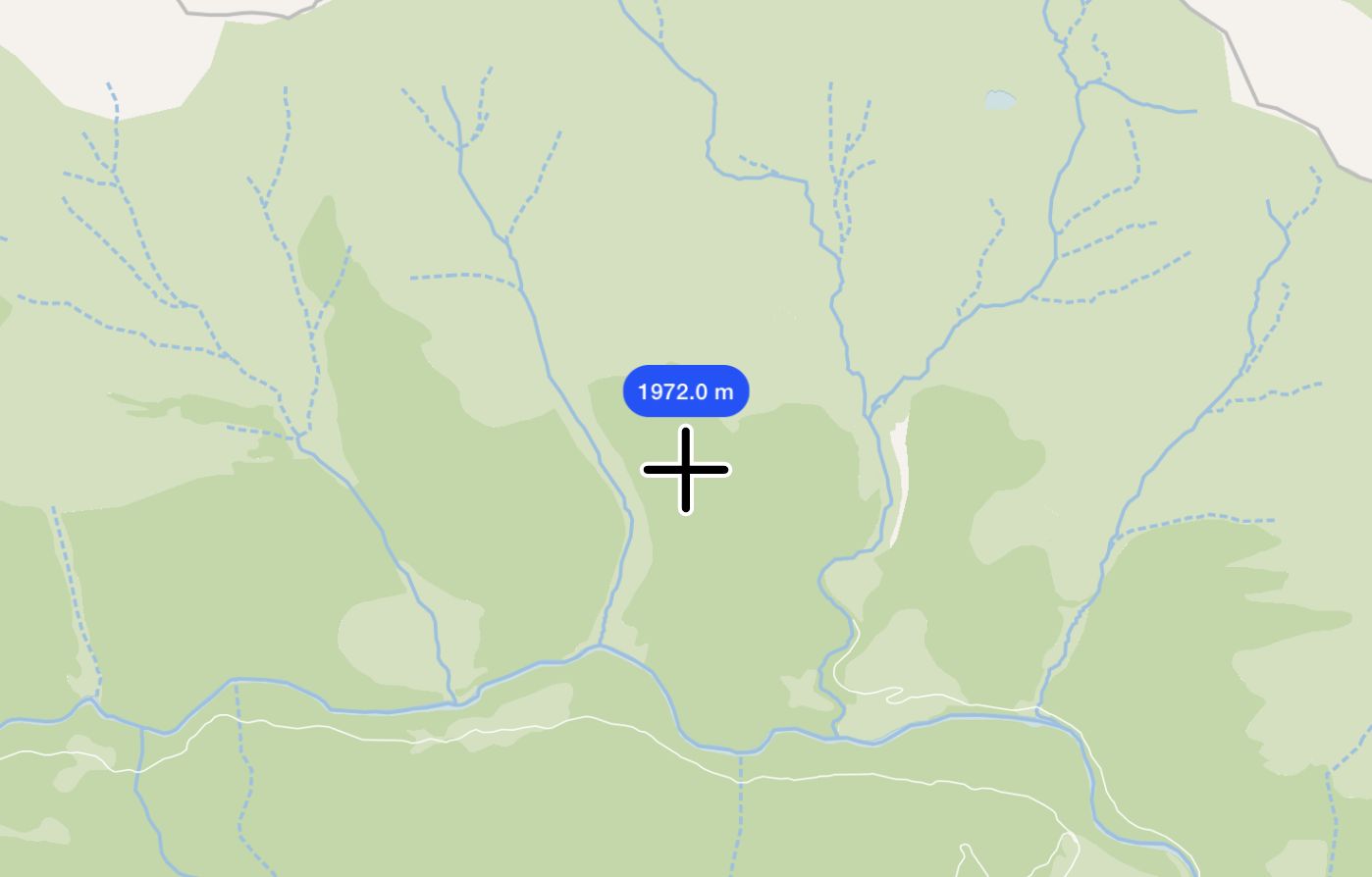
Find Elevation
Find the elevation at a specific point.
Click-to-get elevation
Accurate elevation data
Works globally
Free and browser-based
How to Find Elevation on a Map
1
Zoom to your area of interest
Use the map to navigate to the location you want to check.
2
Click on the map
You’ll instantly get the elevation at that point.
3
Check results in meters or feet
Switch between units as needed.
4
Export or screenshot
Capture your elevation points or share with others.
Use Cases for Elevation Finder
Hiking & Outdoor Planning
Find out how steep or elevated a trail is.
Construction & Surveying
Quickly check elevation for proposed sites.
Flood Risk Analysis
Identify low-lying areas prone to flooding.
What Is the Elevation Finder?
This tool helps you get the elevation above sea level for any location on Earth. Whether you’re hiking, building, or studying terrain, you’ll get quick, reliable results.
Frequently asked questions
Learn more about our elevation finder tool
How accurate is the elevation data?
The elevation values come from open global datasets and are accurate enough for general planning, outdoor activities, and educational purposes. For high-precision needs like engineering, consult dedicated survey data.
Do I need to install anything?
No installation needed. It runs entirely in your browser and works on desktop and mobile.
Is it free to use?
Yes. The tool is free to use and open to everyone. For batch elevation queries or API access, contact us about advanced options.
What units does it support?
You’ll see elevation in both meters and feet by default. The tool handles the conversion automatically.