Distance Calculator
Draw lines directly on the map and get accurate distance measurements in seconds.
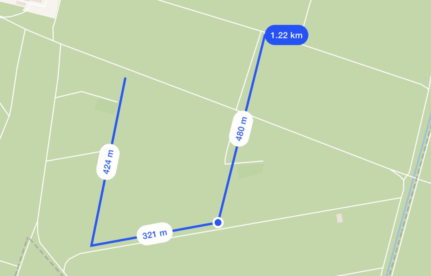
Measure Distance
Click two points on the map to measure the distance between them.
How to Calculate Distance on a Map
Zoom to your starting point
Use the map controls to find the location where you want to begin measuring.
Click to draw a line
Add points by clicking on the map. The line will follow your path.
See distance instantly
The total distance will update live as you add more points.
Export or reset
Save your measurement or reset the tool to start over.
Use Cases for Distance Calculation
Urban Planning
Measure road lengths, walking distances, and transit routes.
Logistics & Routing
Estimate travel distances for deliveries or fleet planning.
Outdoor & Fitness
Track hiking paths or running routes with ease.
What Is the Distance Calculator?
It’s a simple tool that lets you draw a line on a map — and instantly see the distance. Whether it’s a straight path or a winding route, you’ll get an accurate measurement in kilometers, miles, or meters.
Frequently asked questions
Learn more about our distance calculator tool