Public Service & Administration
Empower your team with the tools to make informed decisions and drive public service initiatives forward with collaborative GIS
Improve quality of life for citizens at national, state & local level
Being able to rapidly visualize and analyze projects can help urban planners to be more proactive and less reactive in the planning process.
Community engagement
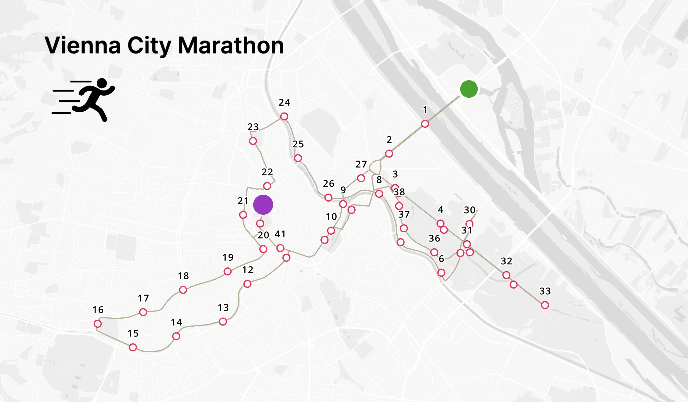
Engage with your community by sharing interactive maps that allow a better understanding of the projects and initiatives you are working on.
Allow citizens to provide feedback and suggestions on the projects to get a better understanding of the community's needs.
Urban planning
Rapidly visualizing and analyzing projects enables urban planners to be proactive rather than reactive in the planning process.
Atlas facilitates easy collaboration among internal agencies, consultancies, and public stakeholders, enhancing planning productivity and community engagement.
Open Data initiatives
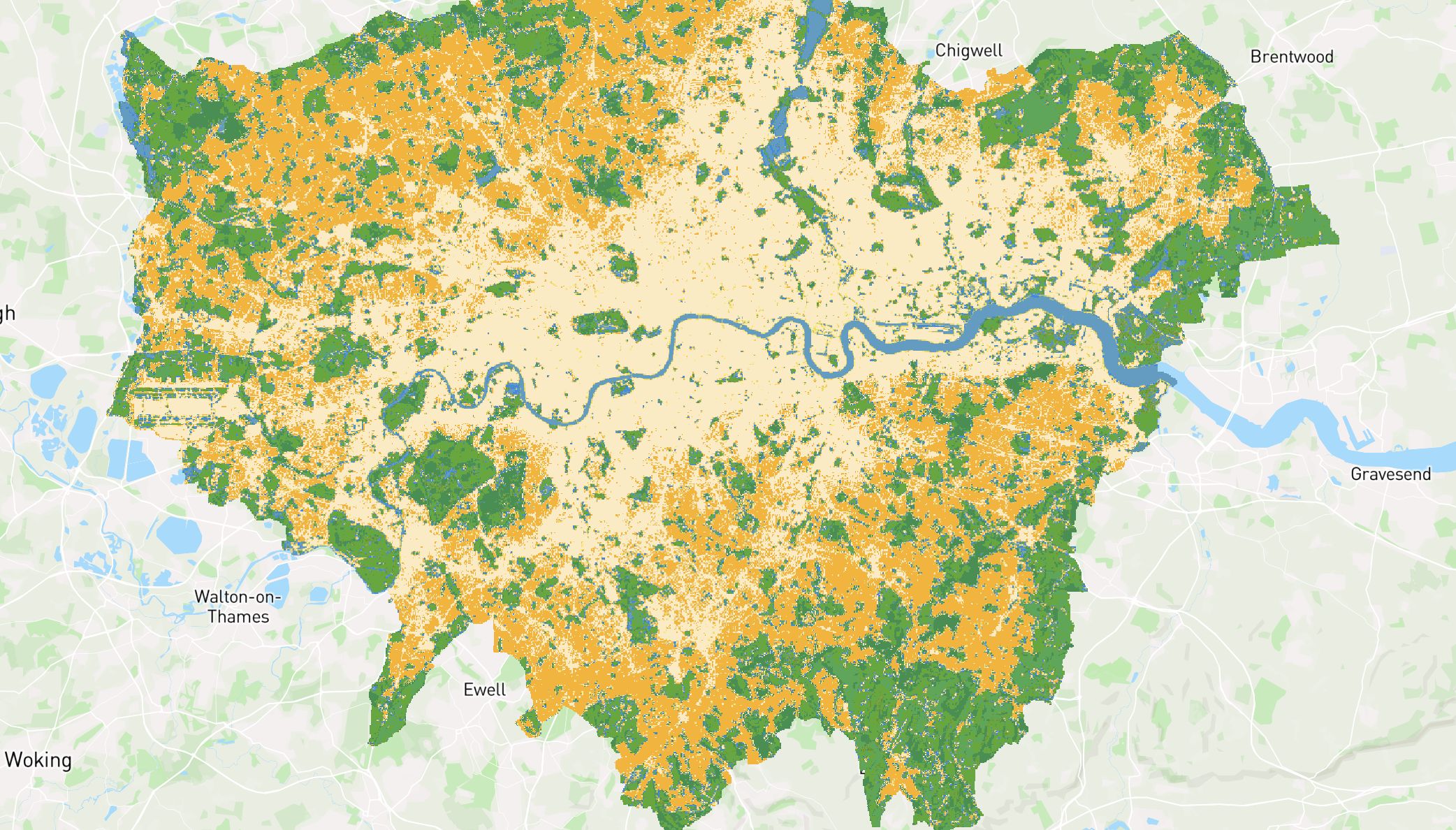
Innovative cities are investing heavily in accelerating their Open Data initiatives, making more datasets accessible to a broader audience and ecosystem.
By enhancing collaboration and empowering decision-making, your city can address its most pressing social and environmental challenges using spatial data.
Designed to be easily updated
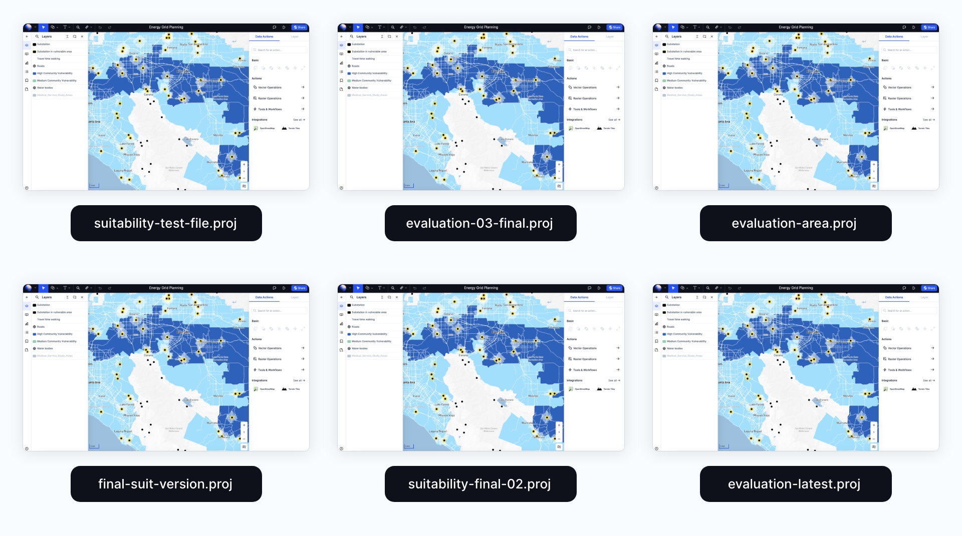
Web maps are live assets designed to be edited, and any changes will be automatically updated synced across all members.


