Site Selection for Wind Farms
Overview
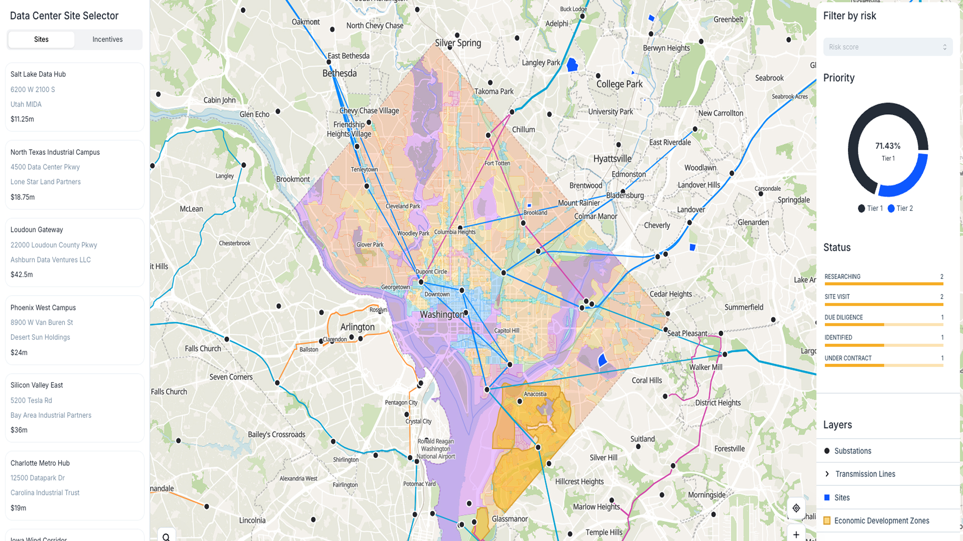
This template helps you automate the search for new areas that are suitable for wind farms. No more manual checks or scattered data. Just set up your area of interest and run a workflow that finds the best locations for you.
Why you should use this template
You can link this template with OpenStreetMap data and other sources using Atlas. The workflow filters for areas close to powerlines and roads, avoids protected zones, and highlights spots with high wind speeds. It saves you time and gives you clear results.
How the template works
The workflow combines data from OpenStreetMap and wind speed layers. It looks for areas near powerlines and roads, while avoiding protected areas. It also uses Mean Wind Speed at 100 meters to rank the results.
You start by defining your area of interest. Then run the workflow. It will output a table and a map with the most suitable locations for wind farms.
Who should use this template
This template is ideal for energy developers, consultants, and planning teams who need a faster and easier way to find new wind farm sites. It works well for early-stage site screening and project planning.
Use the power of automation
Connected with your data and tools, this template lets you automate the whole process. Set up workflows to run on new data or changing criteria. Get notified when new suitable areas are found. Focus on making decisions, not sorting data.


