Arkansas Data Portal
Overview
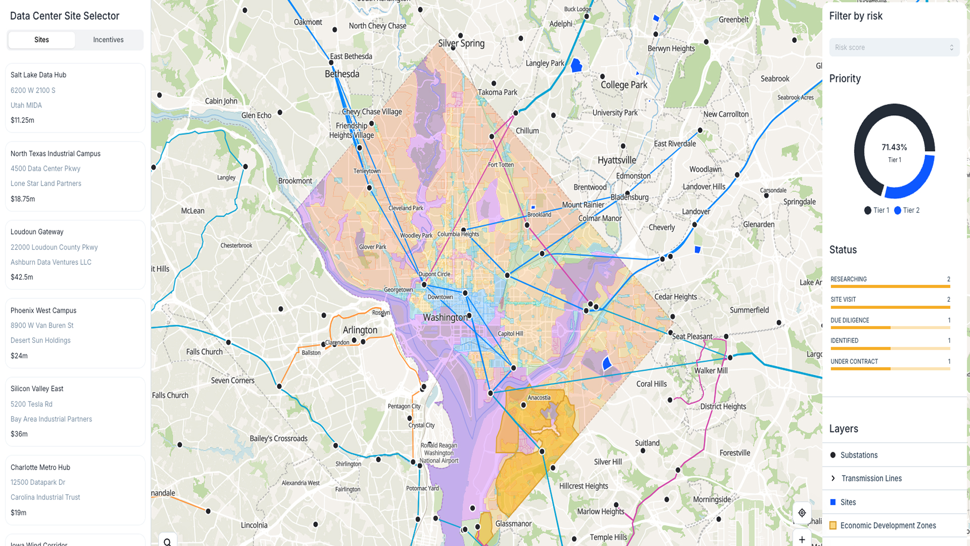
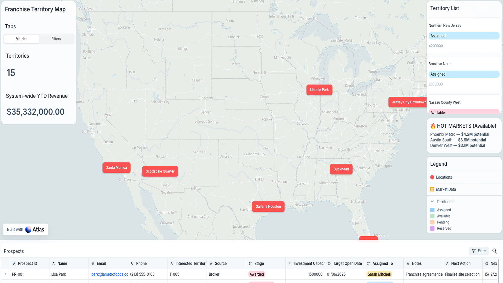
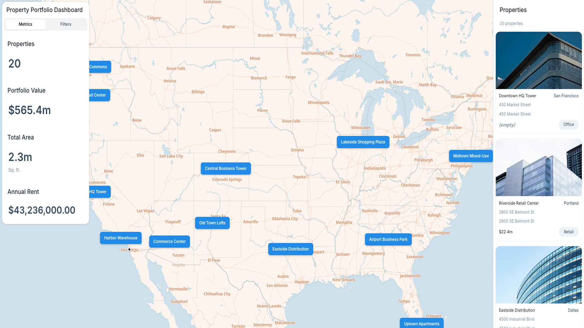
This template gives you an interactive data portal for Arkansas. It brings public infrastructure, environmental layers, and service coverage into one easy-to-use map.
Why you should use this template
With Atlas, you can connect live and historical data and make it accessible. Filter, search, and download data straight from the map. It’s mobile-ready and designed to support local decision-making.
How the template works
You upload or connect your datasets — like infrastructure, environmental layers, and service areas. The map makes it easy to explore the data. You can filter by type, search specific records, and download the results.
The portal updates with new data so users always see the latest view.
Who should use this template
Local governments, planners, service providers, and community groups can all use this template. It’s great for public transparency, project planning, and making informed decisions.


