Top GIS Voices 2024
Introducing our list of the most interesting and inspiring GIS experts in the GIS and mapping community.

Alison Ollivierre
Award-winning cartographer and GIS professional with 15 years’ experience
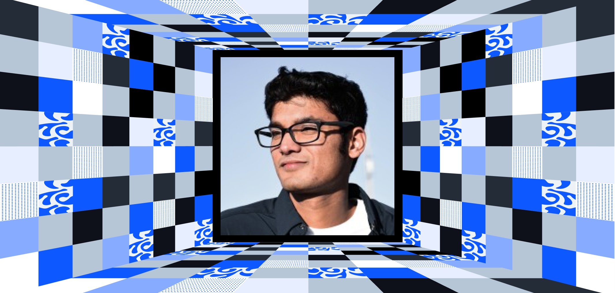
Ankur S.
Environmental educator passionate about sustainability, climate solutions, and ocean conservation
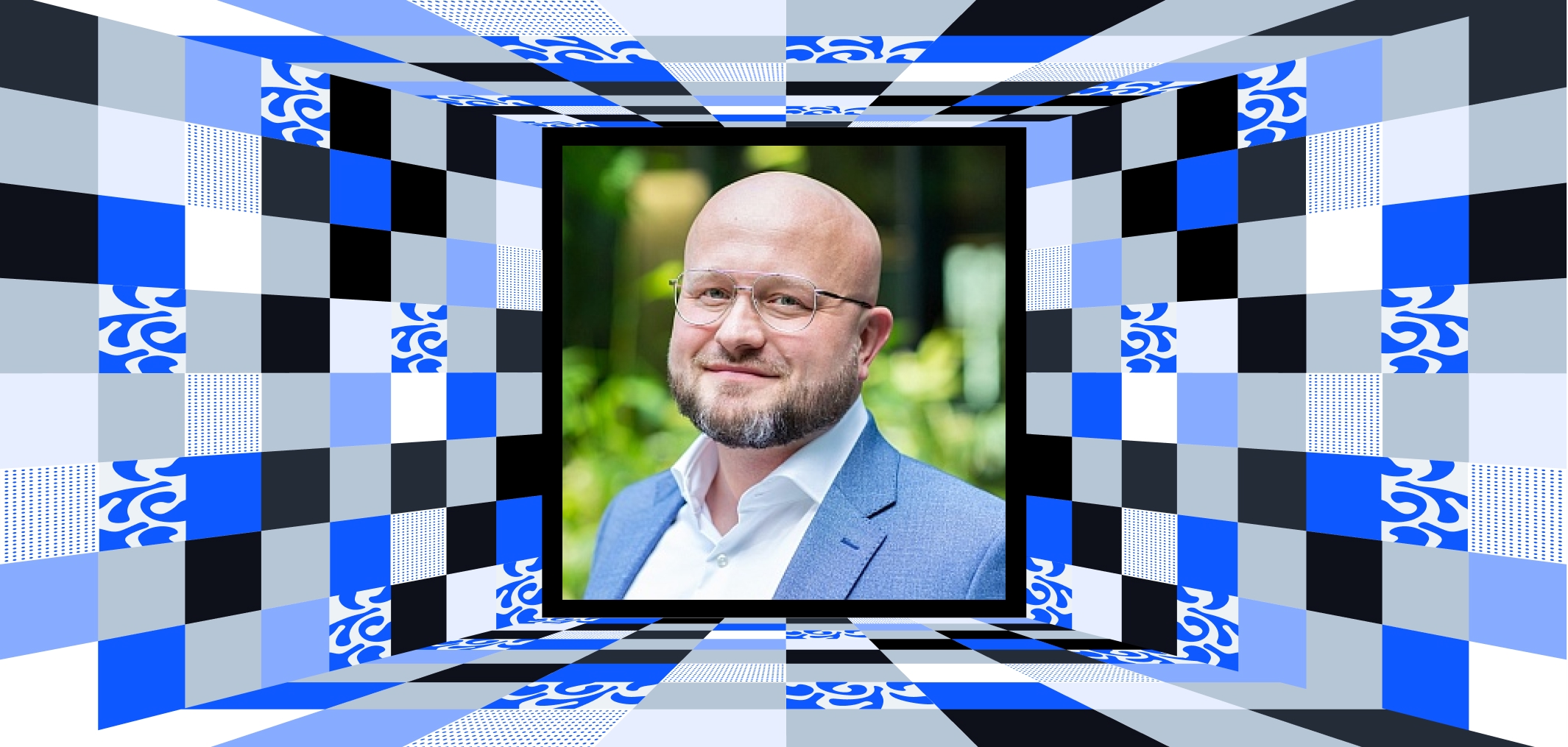
Arkadiusz Szadkowski
16+ years in Reality Capture, 3D GIS, and Digital Twins. Bridging spatial data with innovative tech
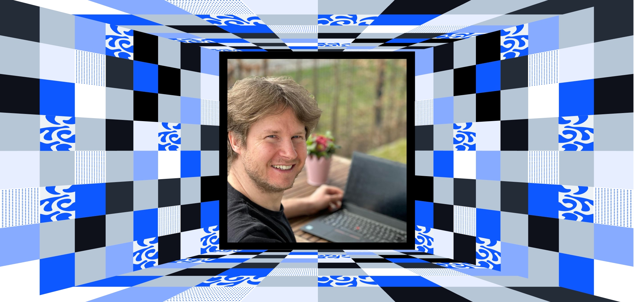
Christian Lutz
WebGIS expert with 15+ years helping GIS professionals build and master WebGIS systems

Dawn Wright
Chief Scientist at Esri, oceanographer, and mapmaker passionate about seafloor mapping
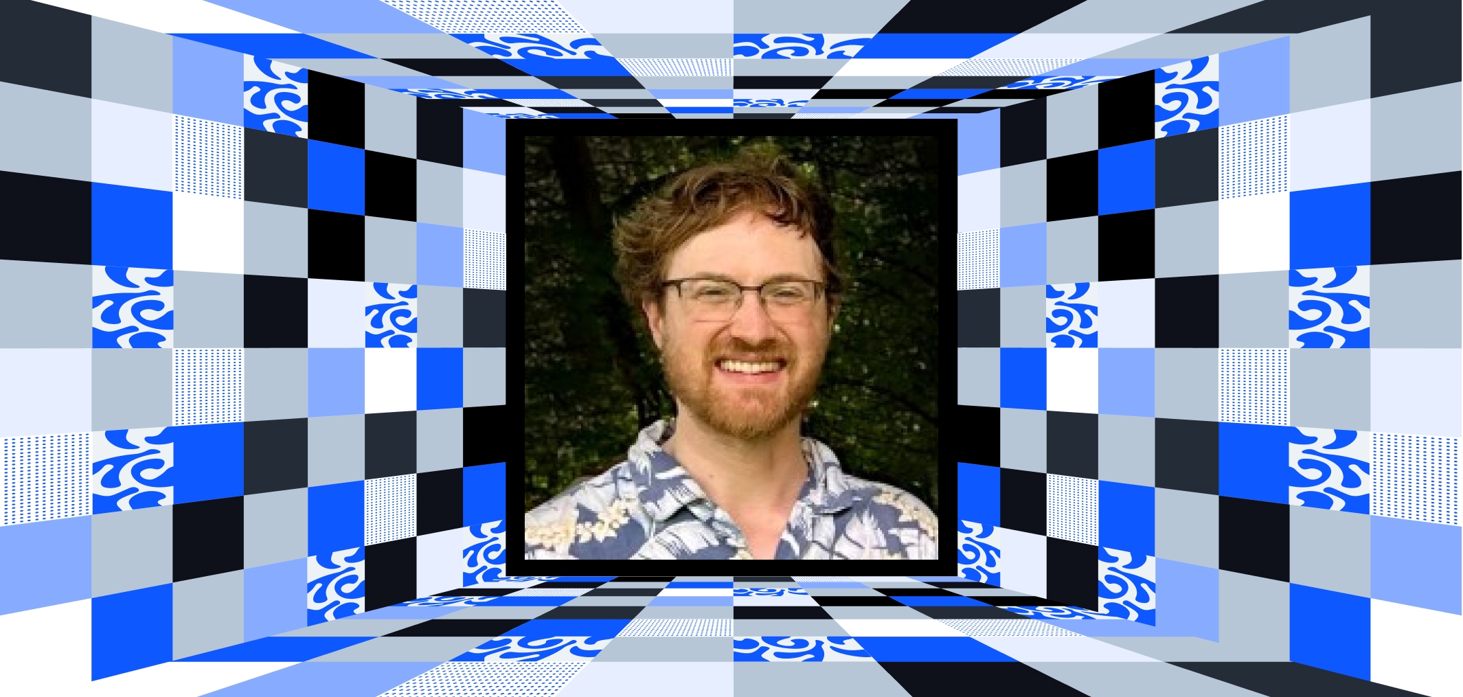
Evan Applegate
Cartographer featured in National Geographic, creating stunning maps for brands, spaces, and enthusiasts

Greg Cocks
Senior Applied Researcher at USGS, 3D Hydrography Program Technical Lead, to deliver high-resolution hydrologic data
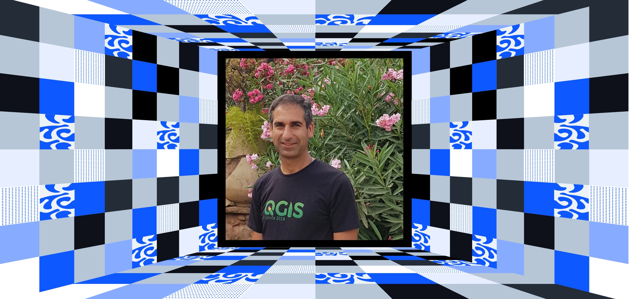
Hans van der Kwast
Physical geographer with 20+ years in GIS, open-source trainer, author, and YouTube educator (25k+)
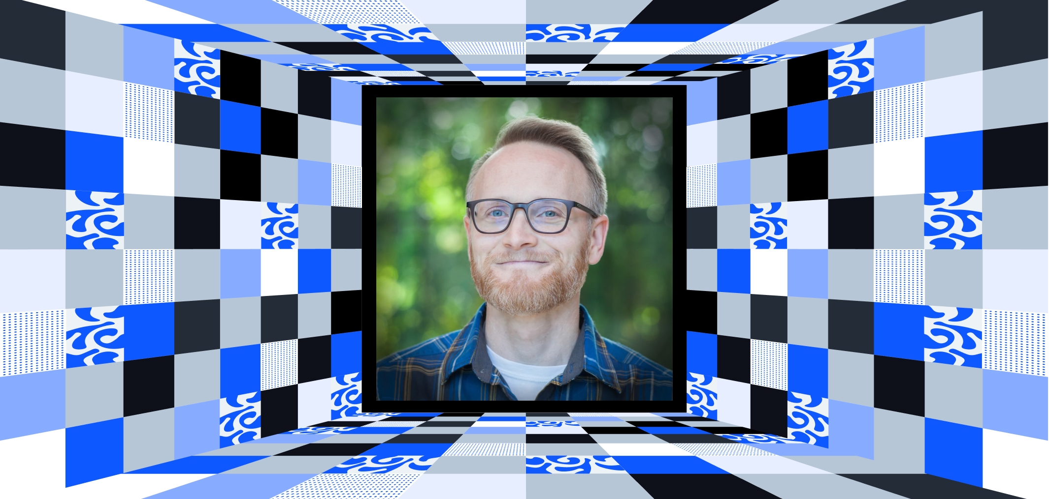
John Nelson
Cartographer and UX designer at Esri, sharing creative maps, data viz, and cartography insights
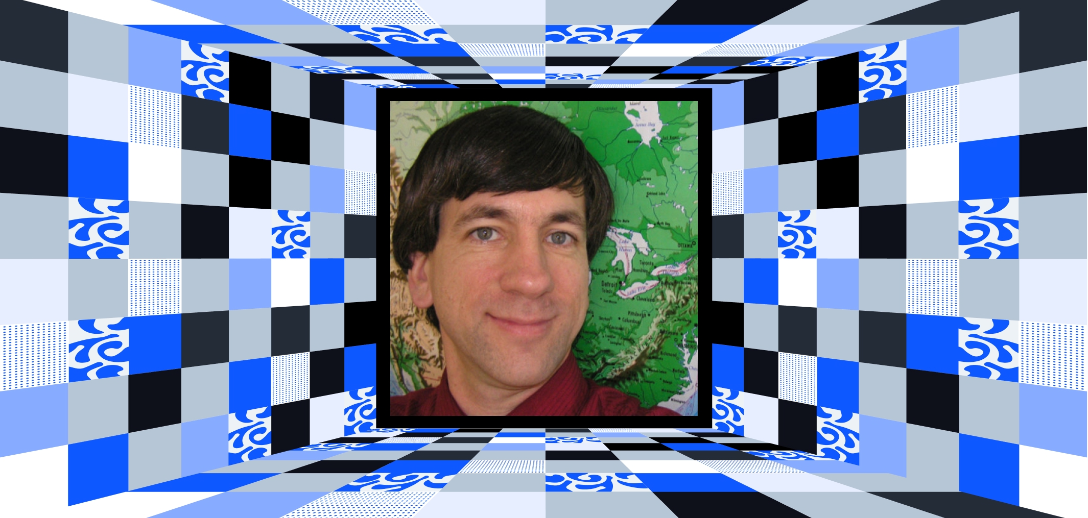
Joseph Kerski
Geography and GIS educator with 30+ years across academia, government, and industry

Mashford Mahute
GIS & Remote Sensing expert specializing in ESG, SHEQ, and sustainability

Matt Forrest
Modern GIS advocate making spatial SQL accessible for professionals to improve workflows

Milan Janosov
Geospatial data scientist, author of #1 bestseller ‘Geospatial Data Science Essentials,’
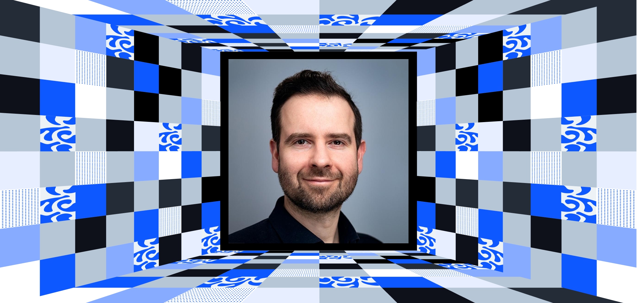
Milos Popovic
Data science, dataviz, and GIS specialist with a PhD in Political Science

Mirza Waleed
Ph.D. Candidate and Google Earth Engine Expert, specializes in geospatial analytics and AI
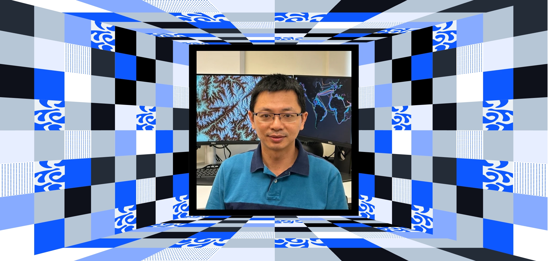
Qiusheng Wu
Geospatial data scientist, professor, and open-source creator (geemap, leafmap)

Samapriya Roy
Senior Product Manager at MAXAR and Google Earth Engine Expert, driving geospatial innovation
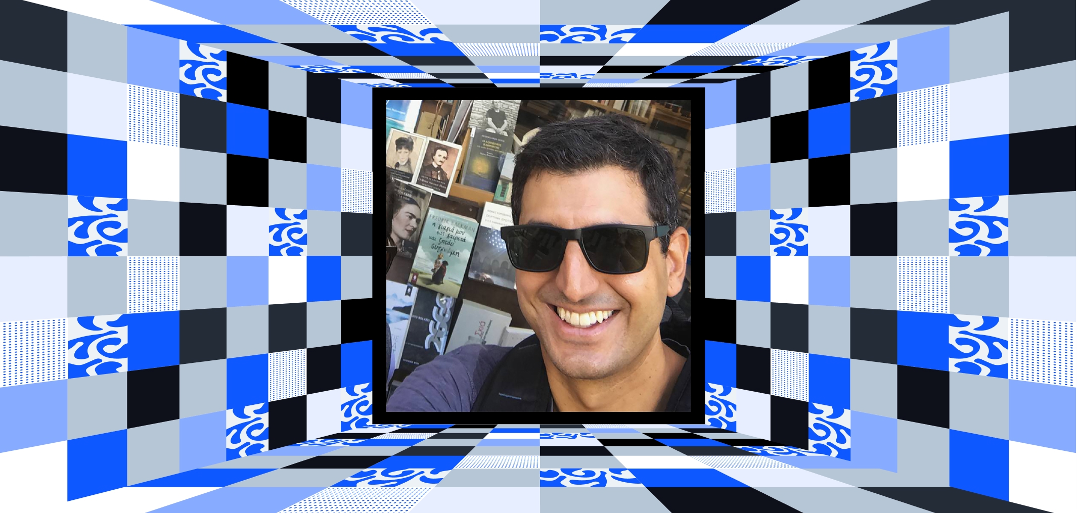
Spiros Staridas
Cartographer and GIS Specialist with 15+ years’ experience in map design and spatial analysis

Tek Kshetri
Geospatial expert with 5+ years’ experience, specializing in AI, Web GIS, and satellite imagery

Wanmei Liang
Science Data Visualizer at NASA Earth Observatory, specializing in GIS, remote sensing, and cartography
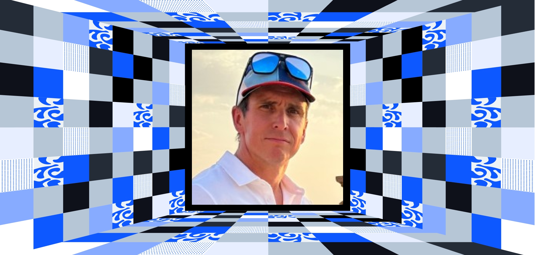
Will Cadell
Founder of Sparkgeo. Innovating solutions for tech, agriculture, and aerospace industries
