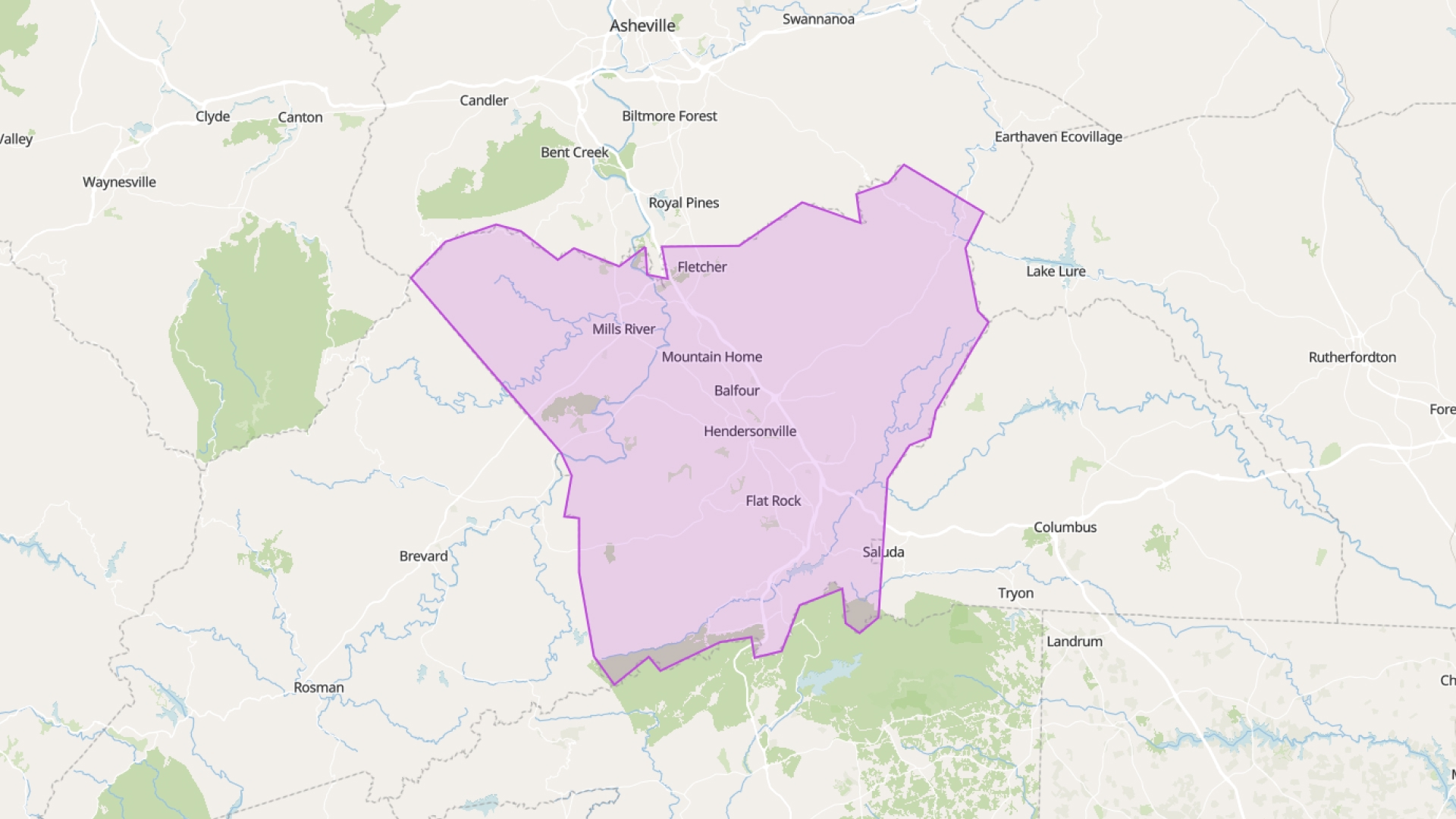
Henderson County maintains a comprehensive set of GIS data covering parcels, zoning, infrastructure, and environmental features through their official GIS program. These datasets are made publicly available through their servers and are regularly updated by county staff.
Important Disclaimer: Atlas is not affiliated with, endorsed by, or officially connected to Henderson County or their GIS program. Atlas is an independent third-party mapping platform that provides tools for visualizing and analyzing publicly available GIS data. All data referenced on this page is owned and maintained by Henderson County. Users should verify data accuracy and usage rights directly with Henderson County's official GIS department for any official or commercial purposes.
Atlas provides an easy way to work with this official Henderson County data. Instead of downloading and managing files locally, you can use Atlas to connect directly to Henderson County's FeatureServer links, allowing you to visualize and analyze their data in an intuitive web-based platform.
Available Henderson County GIS Layers
Henderson County's GIS program offers various data layers through their public FeatureServer. Atlas makes it easy to integrate these official county layers for mapping and analysis. Below is a table summarizing the layers available from Henderson County:
| Layer Name | Description |
|---|---|
| Parcels | Property boundaries and parcel information |
| Addresses | Location and details of address points |
| Land Use | Current and proposed land-use classifications |
| Zoning | Zoning districts and land use regulations |
| Flood Zones | Areas prone to flooding |
| Fire Districts | Fire protection district boundaries |
| Municipal Boundaries | City and town boundaries within the county |
| Roads | Road network data including street names |
| Building Footprints | Outlines of building structures |
| Subdivisions | Residential subdivision boundaries |
These layers are maintained and provided by Henderson County through their official GIS portal. Atlas serves as a powerful tool for connecting to and working with these layers, enabling users to create dynamic maps using the most current data from the county.
Popular FeatureServers
Parcels
Henderson County provides detailed information on property boundaries and parcel data through this FeatureServer.
https://gisweb.hendersoncountync.gov/arcgis/rest/services/Parcels/FeatureServer
Addresses
Henderson County maintains address point data for properties throughout the county via this service.
https://gisweb.hendersoncountync.gov/arcgis/rest/services/Addresses/FeatureServer
Land Use
Henderson County's planning department provides land use classifications and planning information through this service.
https://gisweb.hendersoncountync.gov/arcgis/rest/services/Planning/HendersonCountyLandUse/MapServer
Using Henderson County Data in Atlas
Atlas makes it simple to work with Henderson County's official GIS data through FeatureServer connections. This approach is efficient and ensures you're always working with the county's most current data. Simply obtain the FeatureServer link from Henderson County's GIS portal, paste it into Atlas, and start analyzing the data in an intuitive mapping interface.
No downloads or manual updates are necessary. When Henderson County updates their parcel or zoning data, your Atlas map automatically reflects those changes since it connects directly to their official servers.
This makes Atlas ideal for planners, analysts, or anyone who needs to work with reliable county data without the hassle of managing local files.
Analyze Henderson County Data with Atlas
Once Henderson County's data is connected to Atlas, you can do much more than just view it. Atlas provides tools to style the data based on attributes like zoning category, land use, or parcel size. Use filters to highlight specific features—such as vacant lots or properties over a certain acreage.
Atlas also allows you to label parcels, adjust transparency, and build custom legends. These visualization tools help you transform Henderson County's raw data into informative maps ready for analysis, presentation, or sharing.
Built for Field and Office Use
Atlas operates in the browser and is compatible with desktops, tablets, and phones. Whether you're in the office or out in the field, you can access Henderson County's data through your Atlas maps.
Need to check a zoning district on-site? Want to verify a property line during an inspection? Atlas provides easy access to Henderson County's official data wherever you need it. No special software or file synchronization required.
Share Maps Without Extra Steps
Atlas simplifies sharing. Every map has a unique link that you can share with your team, partners, or clients. Set view or edit permissions depending on your needs.
Since your Atlas maps connect to Henderson County's live FeatureServer data, everyone sees the same current information. No emailing files or outdated screenshots—just accurate, up-to-date county data accessible through Atlas.
Combine Public and Private Data
Atlas also allows you to incorporate your own data alongside Henderson County's official layers. Add CSVs, draw project zones, or upload shapefiles, then combine them with Henderson County data—such as zoning, parcels, or flood zones.
This integration provides valuable context for your work. Want to compare your site plan with official parcel boundaries or flood risk data? Atlas lets you load both your data and Henderson County's data in the same map for a comprehensive analysis.
Always Up to Date
Henderson County updates its GIS data regularly, including parcel values, zoning, boundaries, and more. When you connect to their data through Atlas using FeatureServer links, your maps automatically reflect these updates.
No need for re-downloading files or worrying about missing changes. Atlas ensures your maps always show Henderson County's current data without extra effort on your part.
Smarter Maps, Less Effort
Atlas provides a user-friendly platform for creating smart, interactive maps using Henderson County's official data. No GIS background is necessary. Simply connect to the county's FeatureServer, style the data using Atlas's tools, and share your map.
It's a faster, simpler way to work with Henderson County's GIS data—making professional mapping and analysis accessible to everyone.