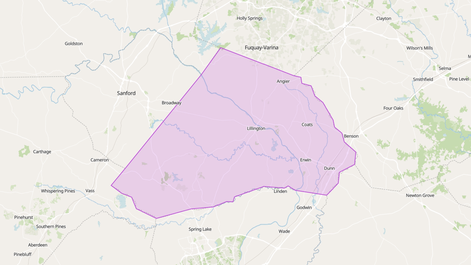
Harnett County offers detailed GIS data for parcels, zoning, infrastructure, and environmental planning. While the county doesn't currently publish live FeatureServer links, you can still work with their data in Atlas by downloading files from their GIS portal and uploading them into your Atlas map.
Accessing Harnett County GIS Data
You can explore and request data through the following resources:
- GIS Portal: https://gis.harnett.org/
- GIS Viewer: https://beta.harnett.org/tax/Default.asp?bid=710&btid=7
- Open Data Platform: https://gis-harnett.opendata.arcgis.com/
Notice!
The Harnett County GIS Geoportal is currently unavailable. While it’s offline, you can still explore other data using Atlas — a cloud-based GIS platform that lets you connect live FeatureServers and build maps directly in your browser.
You’ll find data like parcel boundaries, zoning, hydrology, subdivisions, and utilities. Once downloaded, these can be uploaded into Atlas and styled however you need.
Upload and Style in Atlas
Even without live links, you can still use the full power of Atlas with static data:
- Upload shapefiles, CSVs, or geodatabases
- Style features by attribute (zoning type, parcel size, etc.)
- Label and color-code your layers
- Draw and annotate directly on the map
These features make it easy to turn raw GIS files into something useful—fast.
Ready for the Field or Office
Atlas runs in your browser. No software installs. Use it at your desk, on a tablet, or on your phone. Need to check a boundary while on-site? Open the map. Want to show zoning during a meeting? Share your screen.
It’s all there when you need it.
Share with a Link
Every map in Atlas has a unique URL. Just copy and share. No logins. No files to attach. Everyone sees the same version—no more confusion about file versions or email chains.
Combine Public and Private Data
You can bring your own layers into the mix—upload spreadsheets, import survey results, or outline project areas. Overlay them with Harnett County’s data to get the full picture.
It’s all in one place, all in your browser.
Manual Updates, But Still Simple
Since Harnett doesn’t yet offer FeatureServer links, your maps won’t auto-update. But uploading fresh files only takes seconds. When the county provides new data, you can swap in the new files and keep going.
Work Smarter with What You Have
Atlas doesn’t need live feeds to be powerful. Even with static files, it helps you build smart maps quickly—without needing GIS software or training.
If Harnett County adds live data in the future, Atlas will be ready to connect.