Catawba County offers detailed GIS data on properties, zoning, infrastructure, and the environment. These datasets are available through public servers and are updated regularly. Instead of downloading and managing files, you can stream this data directly into Atlas using FeatureServer links.
This is a big deal. You don’t have to worry about outdated shapefiles or storage limits. You just paste in the FeatureServer URL, and the data appears in your map—live and up to date.
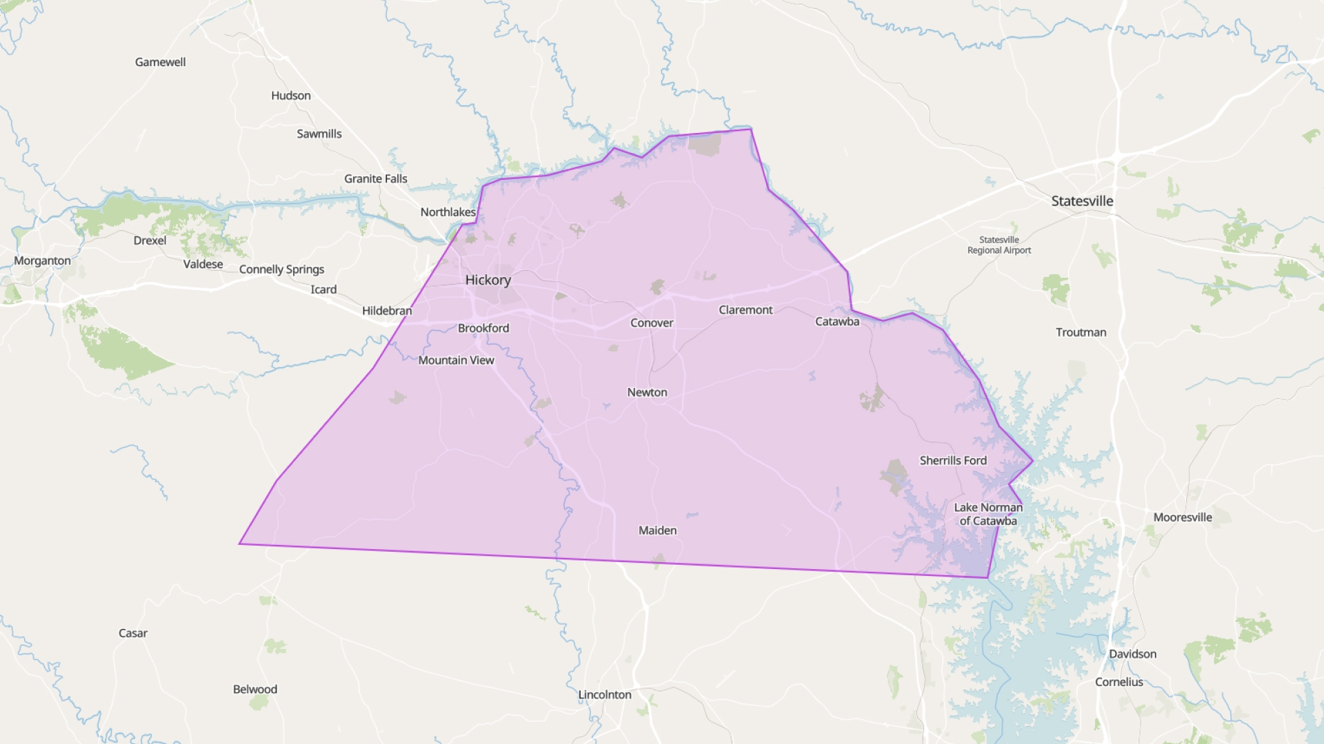
Available Catawba County GIS Layers
Catawba County provides a variety of GIS layers accessible via their public FeatureServer. These layers can be directly integrated into Atlas for real-time mapping and analysis. Below is a table summarizing the available layers:
| Layer Name | Description |
|---|---|
| Address Points | Locations of address points within the county |
| Structures | Building footprints and structural outlines |
| Parcels | Property boundaries and parcel information |
| Roads | Road network data including street names |
| Railroad | Railway lines traversing the county |
| Cities | Incorporated city boundaries |
| City ETJs | Extra-Territorial Jurisdictions for cities |
| Cities Outline w/ ETJ | Combined city boundaries with ETJ outlines |
| County Boundary | Perimeter defining the extent of Catawba County |
| Lakes | Water bodies classified as lakes within the area |
These layers are available through the Catawba County Basemap FeatureServer. By connecting these layers to Atlas, users can create dynamic maps that reflect the most current data provided by the county.
Popular FeatureServers
Catawba County Demographics
Offers demographic data, including educational attainment levels across the county.
https://services2.arcgis.com/V2PQwgZMTFfgM0Xu/ArcGIS/rest/services/Catawba_County__North_Carolina_WFL1/FeatureServerConnect FeatureServers to Atlas
FeatureServer URLs let you stream GIS layers straight into Atlas. It’s fast, light, and always current. You grab the link from the Catawba County GIS portal, paste it into Atlas, and the layer loads instantly.
No downloads. No manual updates. If the county updates a parcel or zoning layer, your Atlas map reflects that change automatically.
This is great for planners, analysts, or anyone who needs reliable data without the hassle of managing files.
Style and Filter Live Data
Once the data is loaded in Atlas, you can do more than just view it. You can style it based on attributes like zoning category, land use, or parcel size. Use filters to highlight only what matters—like showing only vacant lots or properties over 5 acres.
You can also label parcels, adjust transparency, and build custom legends. This helps you turn raw data into a useful map that’s ready to present or share.
Built for Field and Office Use
Atlas runs in the browser. It works on desktops, tablets, and phones. So whether you're in the office or out in the field, you can open your map and see the latest data.
Need to check a zoning district on site? Want to verify a property line during an inspection? Open your map and get the answer. No special software. No need to sync files.
Share Maps Without Extra Steps
Atlas makes sharing simple. Every map has a link. You can share it with your team, partners, or clients. Set view or edit permissions depending on who you’re sharing with.
Since your layers are connected to live FeatureServer data, everyone sees the same version. No emailing files. No outdated screenshots. Just accurate, up-to-date maps on demand.
Combine Public and Private Data
You can layer in your own data, too. Add CSVs, draw project zones, or upload shapefiles. Then combine them with live Catawba layers—like zoning, soil, or flood zones.
This helps you see your work in context. Want to compare your site plan with real parcel lines or flood risk? Just load both in the same map.
Always Up to Date
Catawba County updates its GIS data often—parcel values, zoning, boundaries, and more. By using FeatureServer connections, your Atlas map stays updated automatically.
No re-downloading. No missing changes. Your maps reflect the current reality without extra work.
Smarter Maps, Less Effort
Atlas helps you make smart, interactive maps using live county data. You don’t need a GIS background. Just add the FeatureServer, style the layer, and share the map.
It’s a faster, simpler way to use GIS data from Catawba County—and a better way to work.