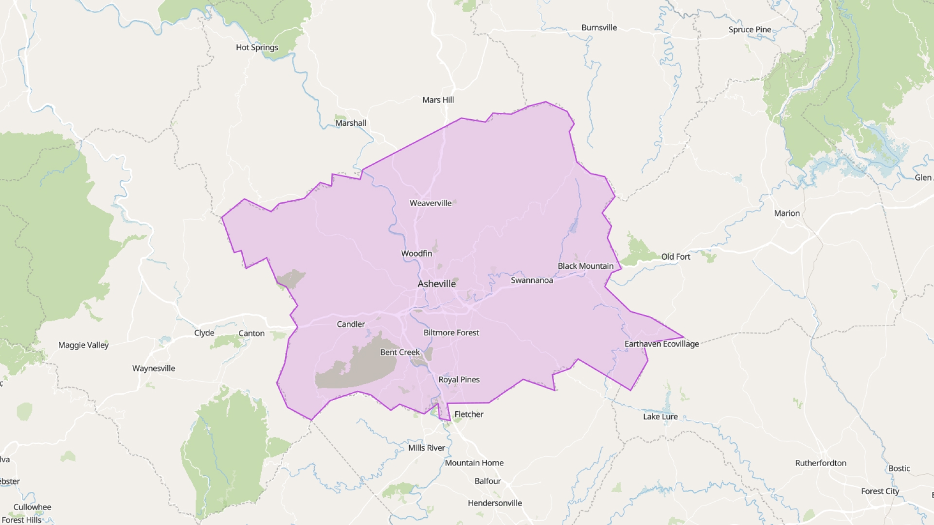
Buncombe County offers a comprehensive set of GIS data covering parcels, zoning, infrastructure, and environmental features. These datasets are accessible through public servers and are regularly updated. Instead of downloading and managing files, you can stream this data directly into Atlas using FeatureServer links.
Notice!
The Buncombe County GIS Geoportal is currently unavailable. While it’s offline, you can still explore other data using Atlas — a cloud-based GIS platform that lets you connect live FeatureServers and build maps directly in your browser.
This approach eliminates concerns about outdated shapefiles or storage limitations. Simply paste the FeatureServer URL into Atlas, and the data appears in your map—live and up to date.
Available Buncombe County GIS Layers
Buncombe County provides a variety of GIS layers accessible via their public FeatureServer. These layers can be directly integrated into Atlas for real-time mapping and analysis. Below is a table summarizing the available layers:
| Layer Name | Description |
|---|---|
| Schools | Locations of schools within the county |
| 5ft Contours | Elevation contours at 5-foot intervals |
| Townships | Township boundaries within the county |
| Fire Service Districts | Fire protection district boundaries |
| Subdivisions | Residential subdivision boundaries |
| Building Footprints | Outlines of building structures |
| School Districts | School district boundaries |
| Zoning Overlay | Zoning districts and land use classifications |
| Property_2016 - 2022 | Property parcel data for respective years |
| Bicycle Suitability | Index indicating bicycle-friendly routes |
These layers are available through the Buncombe County GIS portal. By connecting these layers to Atlas, users can create dynamic maps that reflect the most current data provided by the county.
Connect FeatureServers to Atlas
FeatureServer URLs enable you to stream GIS layers directly into Atlas. This method is efficient, lightweight, and ensures your data is always current. Obtain the link from the Buncombe County GIS portal, paste it into Atlas, and the layer loads instantly.
No downloads or manual updates are necessary. If the county updates a parcel or zoning layer, your Atlas map reflects that change automatically.
This is ideal for planners, analysts, or anyone requiring reliable data without the hassle of managing files.
Style and Filter Live Data
Once the data is loaded in Atlas, you can do more than just view it. Style it based on attributes like zoning category, land use, or parcel size. Use filters to highlight specific features—such as vacant lots or properties over a certain acreage.
You can also label parcels, adjust transparency, and build custom legends. This functionality helps you transform raw data into a useful map ready for presentation or sharing.
Built for Field and Office Use
Atlas operates in the browser and is compatible with desktops, tablets, and phones. Whether you're in the office or out in the field, you can open your map and access the latest data.
Need to check a zoning district on-site? Want to verify a property line during an inspection? Open your map and get the information you need. No special software or file synchronization required.
Share Maps Without Extra Steps
Atlas simplifies sharing. Every map has a unique link that you can share with your team, partners, or clients. Set view or edit permissions depending on your needs.
Since your layers are connected to live FeatureServer data, everyone sees the same version. No emailing files or outdated screenshots—just accurate, up-to-date maps on demand.
Combine Public and Private Data
You can incorporate your own data as well. Add CSVs, draw project zones, or upload shapefiles. Then, combine them with live Buncombe County layers—such as zoning, soil, or flood zones.
This integration provides context for your work. Want to compare your site plan with real parcel lines or flood risk? Load both in the same map for a comprehensive view.
Always Up to Date
Buncombe County updates its GIS data regularly, including parcel values, zoning, boundaries, and more. By using FeatureServer connections, your Atlas map stays updated automatically.
No need for re-downloading or missing changes. Your maps reflect the current reality without extra effort.
Smarter Maps, Less Effort
Atlas enables you to create smart, interactive maps using live county data. No GIS background is necessary. Simply add the FeatureServer, style the layer, and share the map.
It's a faster, simpler way to utilize GIS data from Buncombe County—and a more efficient way to work.