Create drive-time maps
Easily map out travel times from key locations using Atlas’ drive-time feature

What is a drive-time map?
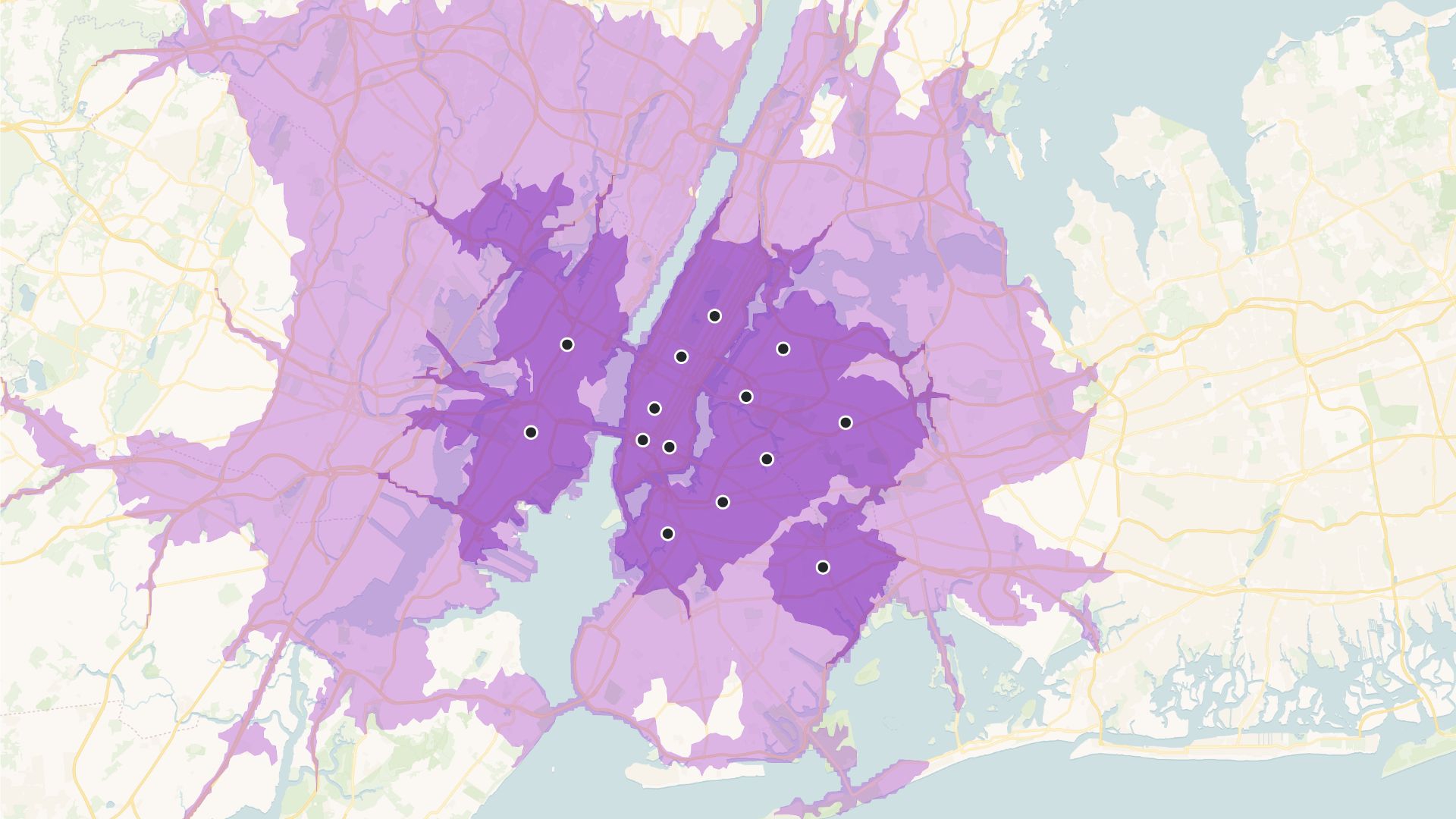
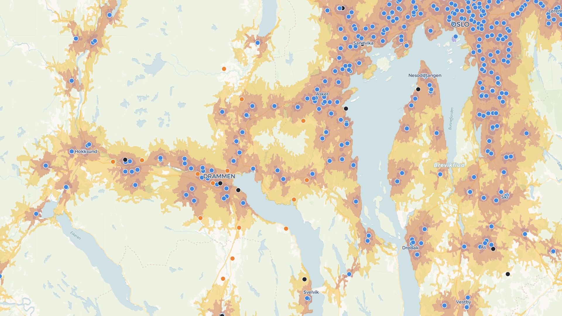
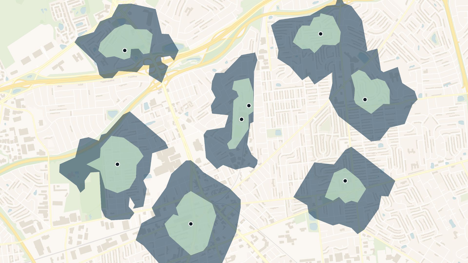
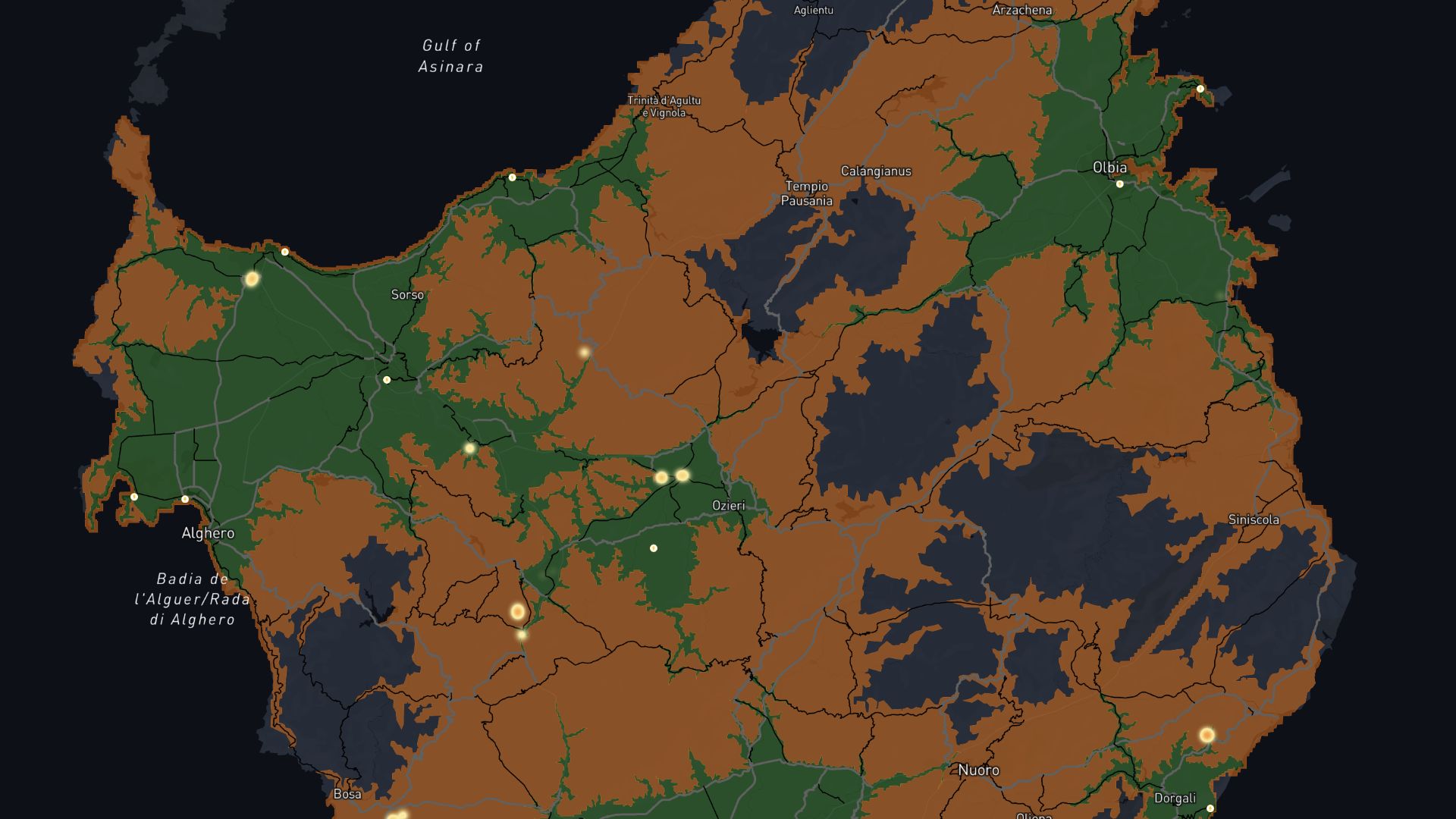
A drive-time map shows how far someone can travel within a specific time from a set location. These maps help visualize areas reachable by car, helping in planning delivery zones, service coverage, or site analysis.
Create your first drive-time map

Examples of drive-time maps
Delivery zones
Map out areas you can serve within a guaranteed timeframe
Customer access
Analyze how easily customers can reach your store
Site analysis
Identify ideal locations for new offices or outlets based on access
How to create drive-time maps?
Set starting location
Choose your central location manually or from your dataset.
Define travel settings
Set time intervals, such as 5, 10, and 15 minutes.
Customize appearance
Pick colors, styles, and overlays for better visuals.
Analyze results
Review accessible areas and fine-tune your map further.
Why choose Atlas for drive-time maps?
Atlas simplifies route-based mapping with user-friendly tools and customization options.
Supports multiple modes
Create maps for driving, walking, or cycling routes.
Save templates
Re-use settings for similar maps in the future.
Add landmarks
Highlight key locations like gas stations or stores.
Dynamic layers
Layer travel-time data with demographics or sales performance.
Real-world accuracy
Uses live traffic data for precise travel calculations.
Interactive sharing
Share interactive maps for stakeholders to explore.
Frequently asked questions
Learn more about creating and using drive-time maps.
