Make all the difference when working with geospatial data. Whether you're an urban planner, a researcher, or a logistics manager, having the right tools streamlines decision-making and helps present data effectively.
Here are the top GIS and map dashboard platforms to consider in 2025.
1. Atlas
Best For: Interactive and collaborative map dashboards.
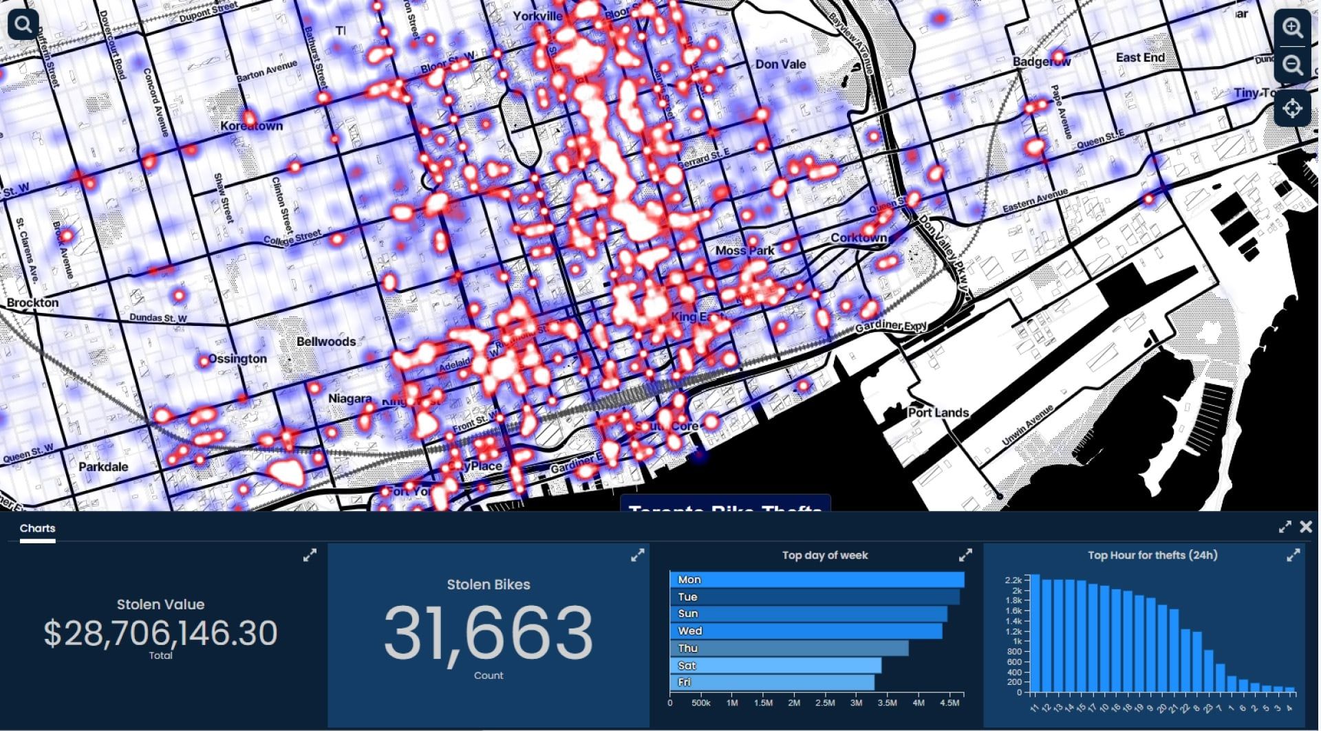
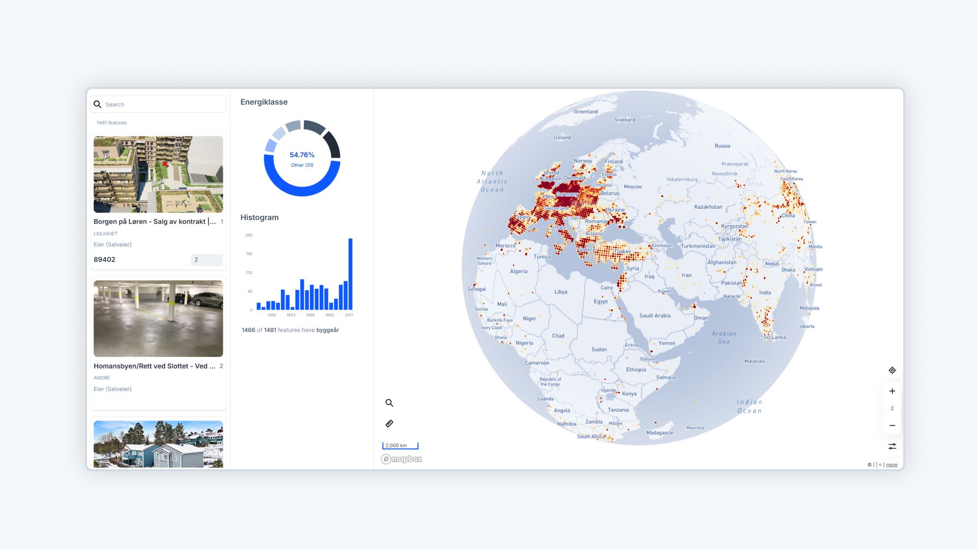
Atlas is a browser-based GIS platform that prioritizes simplicity and collaboration. Designed for users of all skill levels, it offers advanced features without overwhelming complexity.
Key Features:
- Real-Time Collaboration: Teams can work on maps simultaneously, ensuring everyone stays aligned.
- Customizable Dashboards: Tailor the design and functionality to your specific needs.
- Cloud-Based Accessibility: Access your projects from anywhere, no downloads required.
- No-Code Tools: Build custom map applications without writing a single line of code.
Why Choose Atlas?
Atlas excels in user-friendliness and adaptability, making it perfect for dynamic teams. With features like Builder mode, users can create interactive maps embedded into websites or dashboards for real-time insights. Whether it's public health monitoring, logistics, or urban planning, Atlas offers a seamless, collaborative experience.
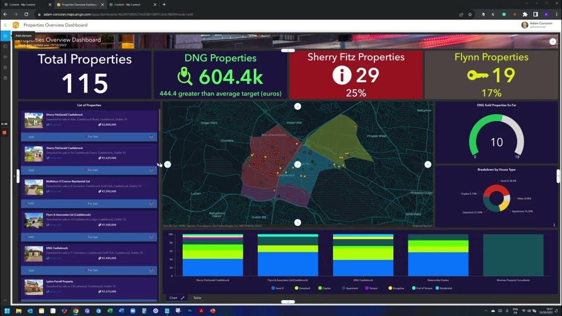
2. ArcGIS Dashboards
Best For: High-level analytics and advanced GIS applications.
ArcGIS Dashboards, part of Esri's ArcGIS ecosystem, is designed for professionals who need detailed geospatial analysis and sophisticated map dashboards.
Key Features:
- Dynamic Data Visualizations: Display real-time data in compelling, customizable dashboards.
- Advanced GIS Integration: Combine geospatial data layers, perform spatial analysis, and create professional-grade visuals.
- Team Collaboration: Share dashboards and maps easily with team members or external stakeholders.
- Versatility: Tailored solutions for industries like urban planning, disaster response, and environmental management.

Why Choose ArcGIS Dashboards?
For those seeking cutting-edge GIS capabilities, ArcGIS Dashboards provide a professional-grade toolset. Its ability to integrate extensive datasets and perform in-depth analyses makes it invaluable for data-driven decision-making.
3. Scribble Maps
Best For: Quick and flexible map creation.
Scribble Maps is a user-friendly mapping tool ideal for simple map dashboards and annotations. It’s great for small teams or individual users who need basic geospatial functionality.
Key Features:
- Simple Annotation Tools: Add notes, markers, and routes to maps with ease.
- Real-Time Collaboration: Collaborators can work together seamlessly on the same map.
- Cross-Platform Compatibility: Access and edit maps from any device with a browser.
- Custom Sharing Options: Share your maps via direct links or embed them in websites.

Why Choose Scribble Maps?
For teams looking to create annotated maps without a steep learning curve, Scribble Maps is a practical choice. It’s particularly useful for educational purposes, route planning, or smaller-scale projects where simplicity is key.
What to Consider When Choosing GIS Software
- Ease of Use: Ensure the platform suits your technical expertise.
- Collaboration Features: Look for tools with real-time sharing and editing options.
- Data Handling Capabilities: Check if the software supports your data formats.
- Budget Fit: Balance the cost with the features your project needs.
Atlas leads the pack with its collaborative capabilities and simplicity, while ArcGIS Dashboards excel in professional analytics, and Scribble Maps offers quick, straightforward mapping.
Ready to explore powerful mapping? Test Atlas today at app.atlas.co/login.


