
GIS (Geographic Information Systems) software is essential for spatial data analysis, mapping, and decision-making.
In 2026, you no longer need expensive software licenses to work with spatial data. The free GIS landscape has evolved dramatically, with powerful cloud-based platforms joining traditional desktop options. Whether you need quick visualizations, collaborative team mapping, or advanced spatial analysis, there's a free tool for you.
Here's our guide to the best free GIS software available in 2026.
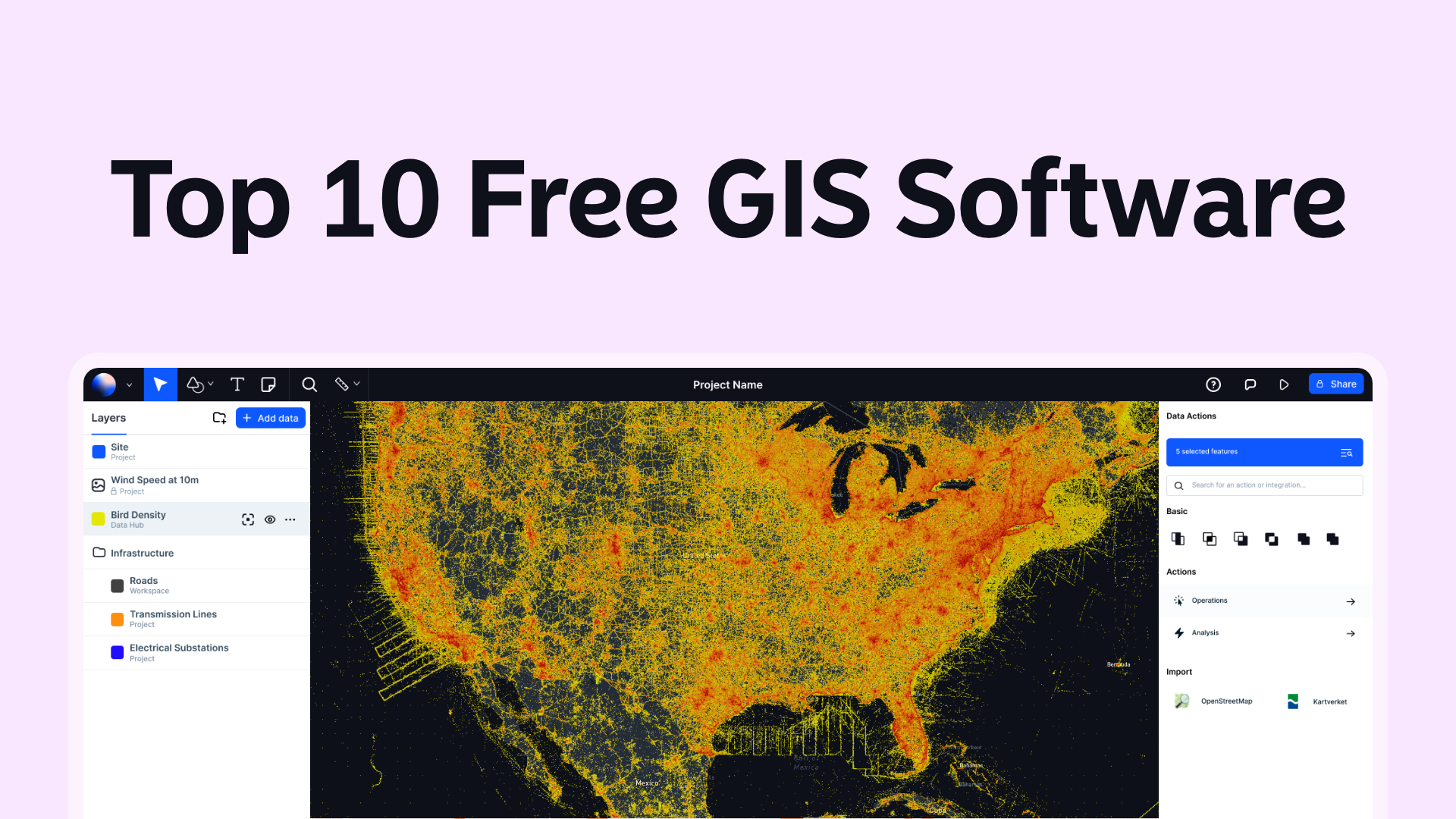
1. Atlas.co
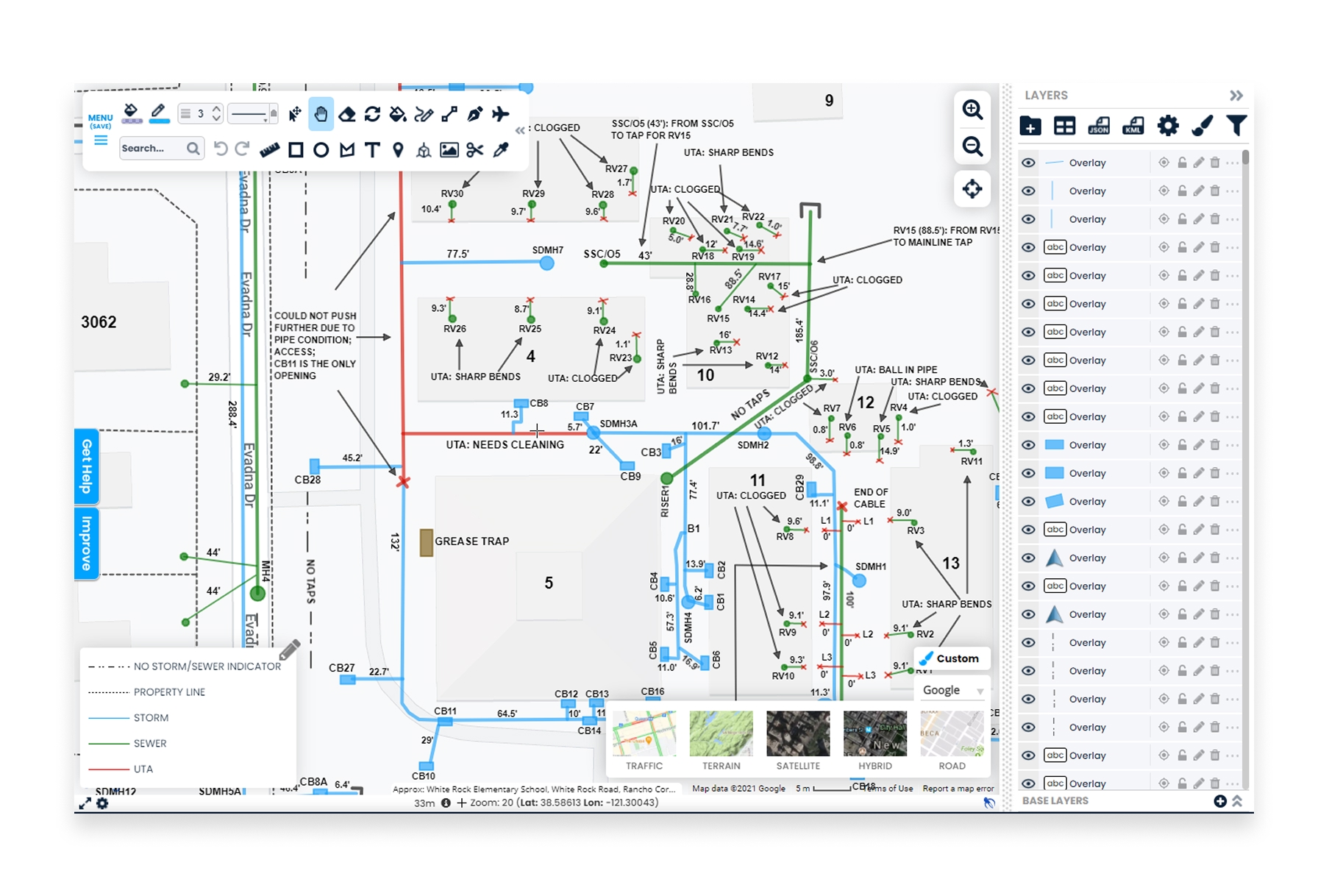
Atlas.co (that's us!) is a modern cloud-based GIS platform with a generous free plan. It's easy to use, collaborative and offers a wide range of spatial analyses and presentation features to make shareable interactive maps.
- Features: Data visualization, editing, analysis, real-time collaboration, map composition, and powerful AI features for automated insights. Supports various data formats.
- Pros: User-friendly, powerful AI capabilities, and collaborative
- Cons: Does not include as many niche analyses as some of the competitors
- Website: Atlas
2. QGIS
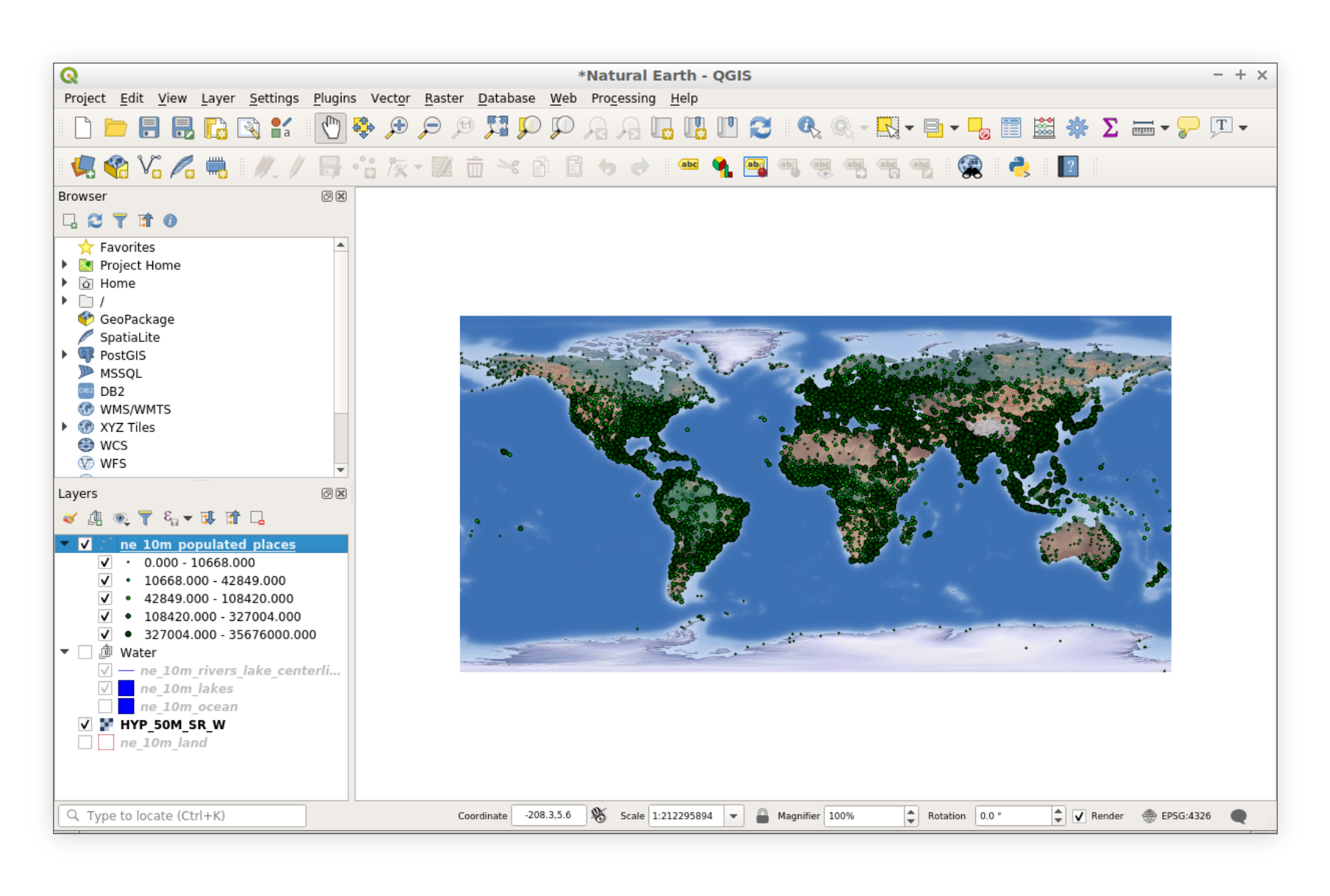
QGIS (Quantum GIS) is one of the most popular free GIS software options. It's open-source and packed with features suitable for various GIS tasks.
- Features: Data visualization, editing, analysis, and map composition. Supports various data formats.
- Pros: Highly extensible with plugins, active community support, and regular updates.
- Cons: Steeper learning curve for beginners.
- Website: QGIS
3. Google Earth Pro
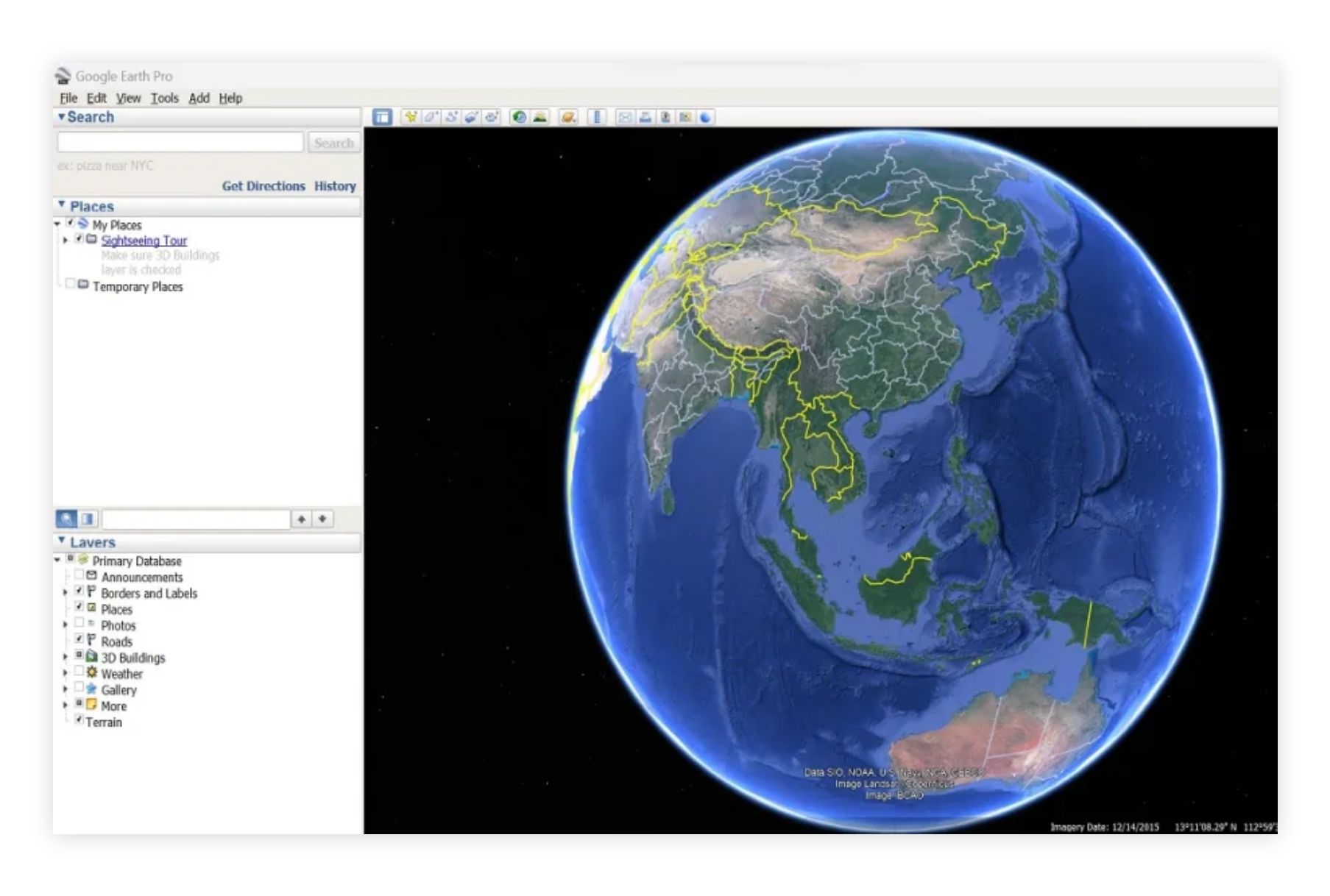
Google Earth Pro offers advanced features and tools for free. It’s great for visualizing geographic data and creating custom maps.
- Features: High-resolution satellite imagery, 3D building visualization, importing and exporting GIS data.
- Pros: User-friendly, rich visual content, widely used.
- Cons: Limited analytical capabilities compared to dedicated GIS software.
- Website: Google Earth Pro
4. Kepler.gl
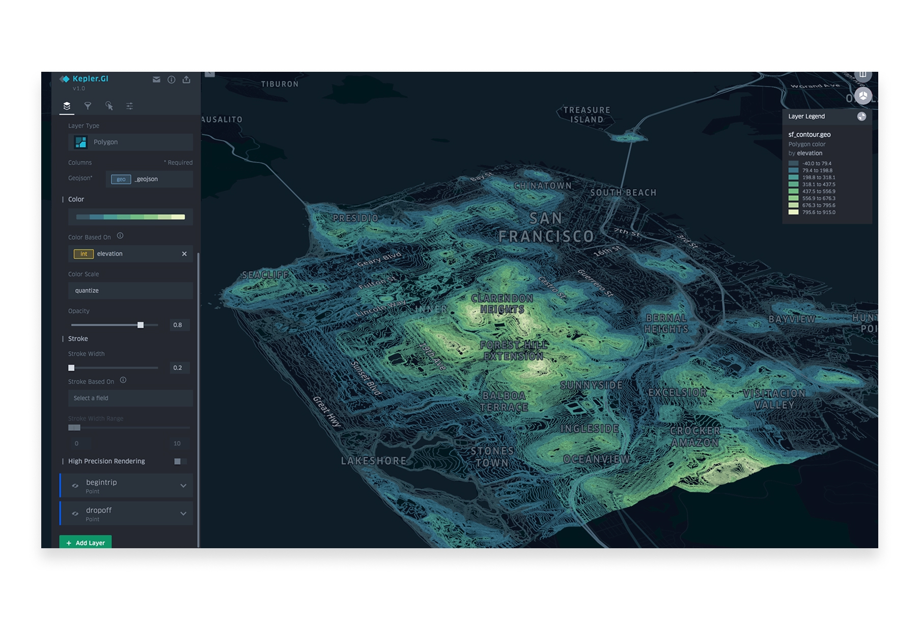
Kepler.gl is a powerful open-source geospatial visualization tool developed by Uber. It's designed for exploring and visualizing large-scale datasets directly in your browser with beautiful, high-performance maps.
- Features: Large dataset visualization, time-series animations, 3D views, multiple layer types, filtering, and aggregation.
- Pros: Completely free and open-source, handles millions of data points, stunning visualizations, no installation required.
- Cons: Focused on visualization rather than analysis, no data storage (browser-based only).
- Website: Kepler.gl
5. Google My Maps
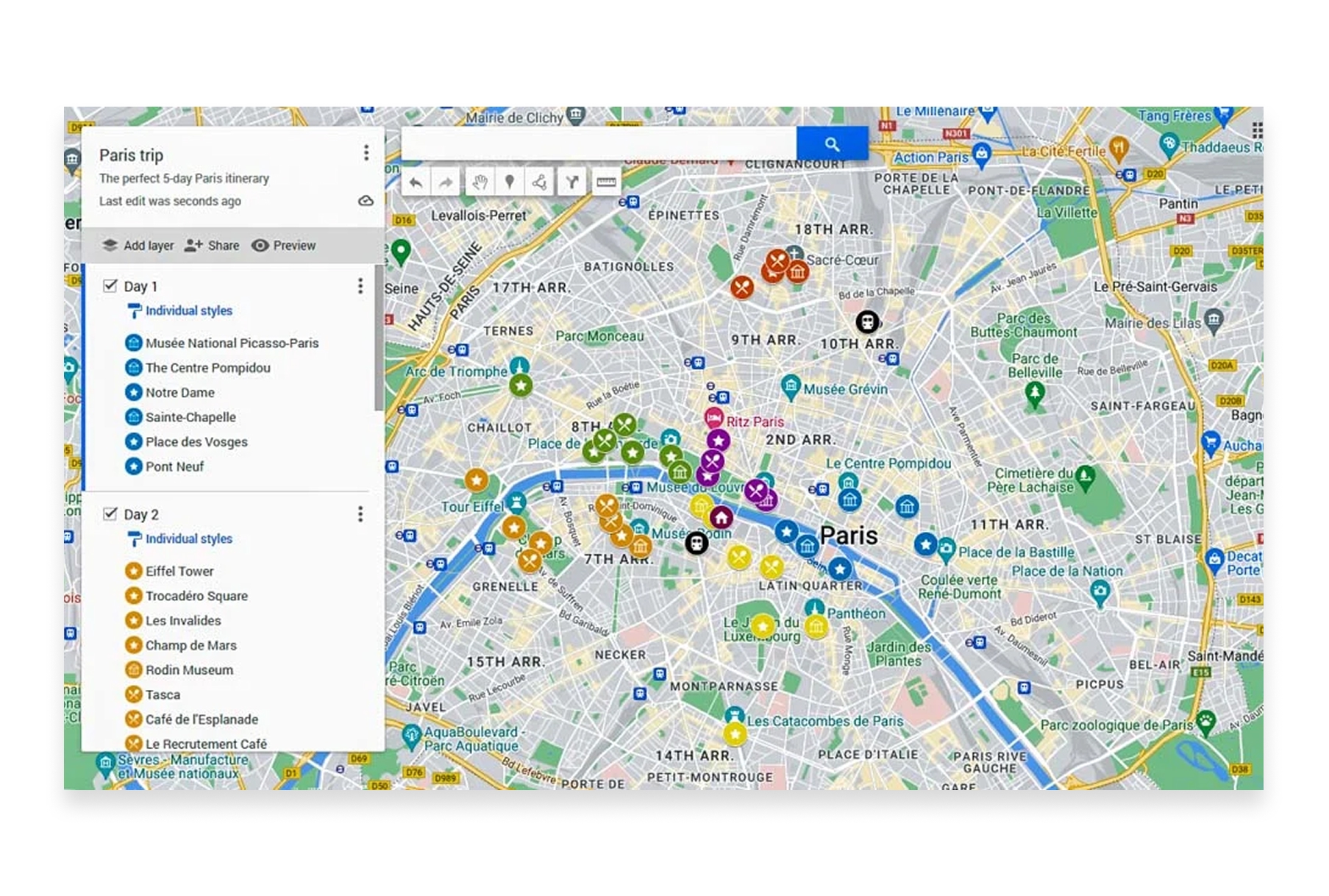
Google My Maps is a simple, free mapping tool from Google that lets anyone create custom maps with markers, lines, and shapes. It's integrated with Google Drive for easy saving and sharing.
- Features: Custom markers and icons, drawing tools, import from spreadsheets/CSV/KML, layer organization, easy sharing.
- Pros: Very beginner-friendly, integrates with Google ecosystem, free with Google account, easy collaboration.
- Cons: Limited styling options, no spatial analysis, basic feature set compared to full GIS software.
- Website: Google My Maps
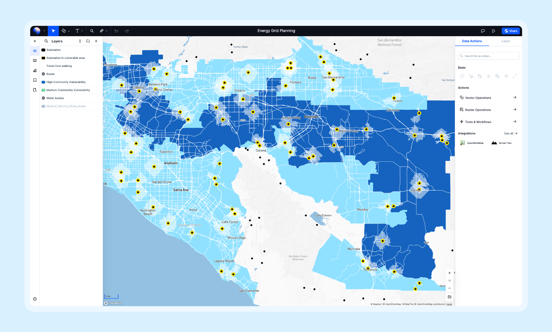
6. Felt
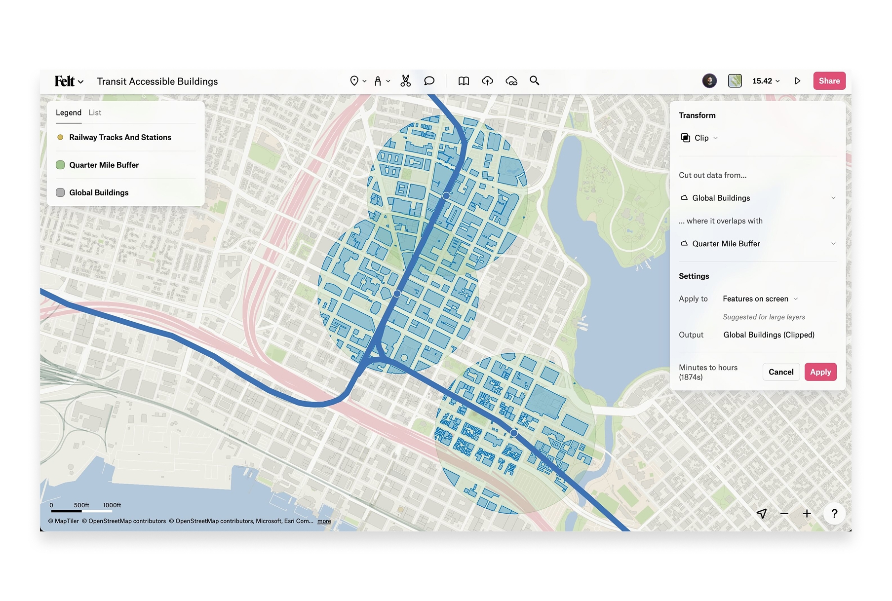
Felt is a cloud-based collaborative mapping platform focused on team collaboration and sharing maps in real-time. It's primarily designed for visual map creation rather than spatial analysis.
- Features: Real-time collaboration, drawing tools, embeddable maps, and presentation mode.
- Pros: Clean interface, no installation required, good for team collaboration.
- Cons: Very limited free tier (cannot upload your own data), limited spatial analysis capabilities, requires paid plan for most useful features.
- Website: Felt
7. GRASS GIS
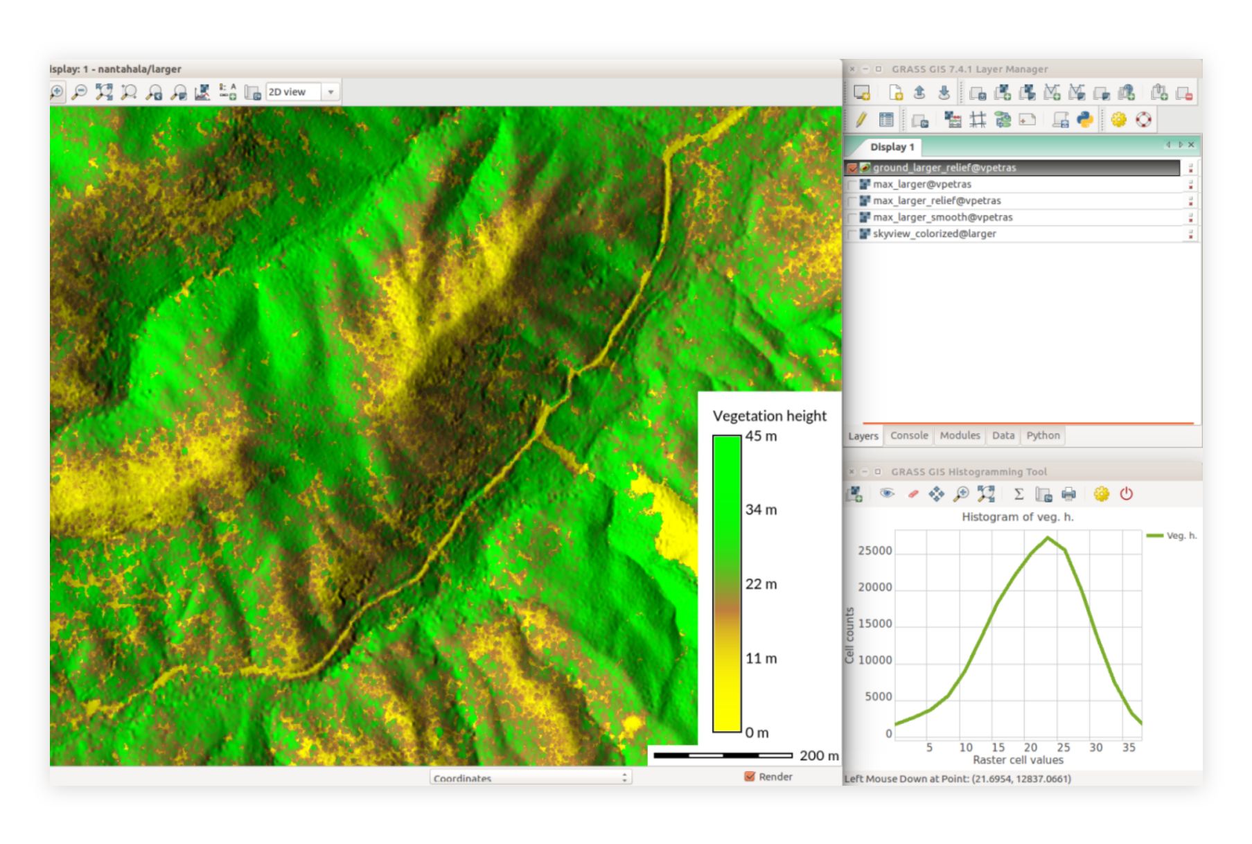
GRASS GIS (Geographic Resources Analysis Support System) is a powerful open-source GIS software suite used for geospatial data management and analysis, image processing, and spatial modeling.
- Features: Advanced geostatistical analysis, raster and vector data processing, temporal data support, 3D visualization.
- Pros: Extensive analytical capabilities, strong support for large datasets, active development community.
- Cons: Steeper learning curve, interface can be less intuitive compared to other GIS software.
- Website: GRASS GIS
8. ScribbleMaps
ScribbleMaps is an easy-to-use online mapping tool that lets you create custom maps quickly. It's perfect for quick visualizations and sharing maps without needing GIS expertise.
- Features: Drawing tools, markers, shapes, import KML/GPX/GeoJSON, export to various formats, embed maps.
- Pros: Very beginner-friendly, no account required for basic use, quick map creation.
- Cons: Limited analysis capabilities, some features require paid plans.
- Website: ScribbleMaps
9. Whitebox GAT
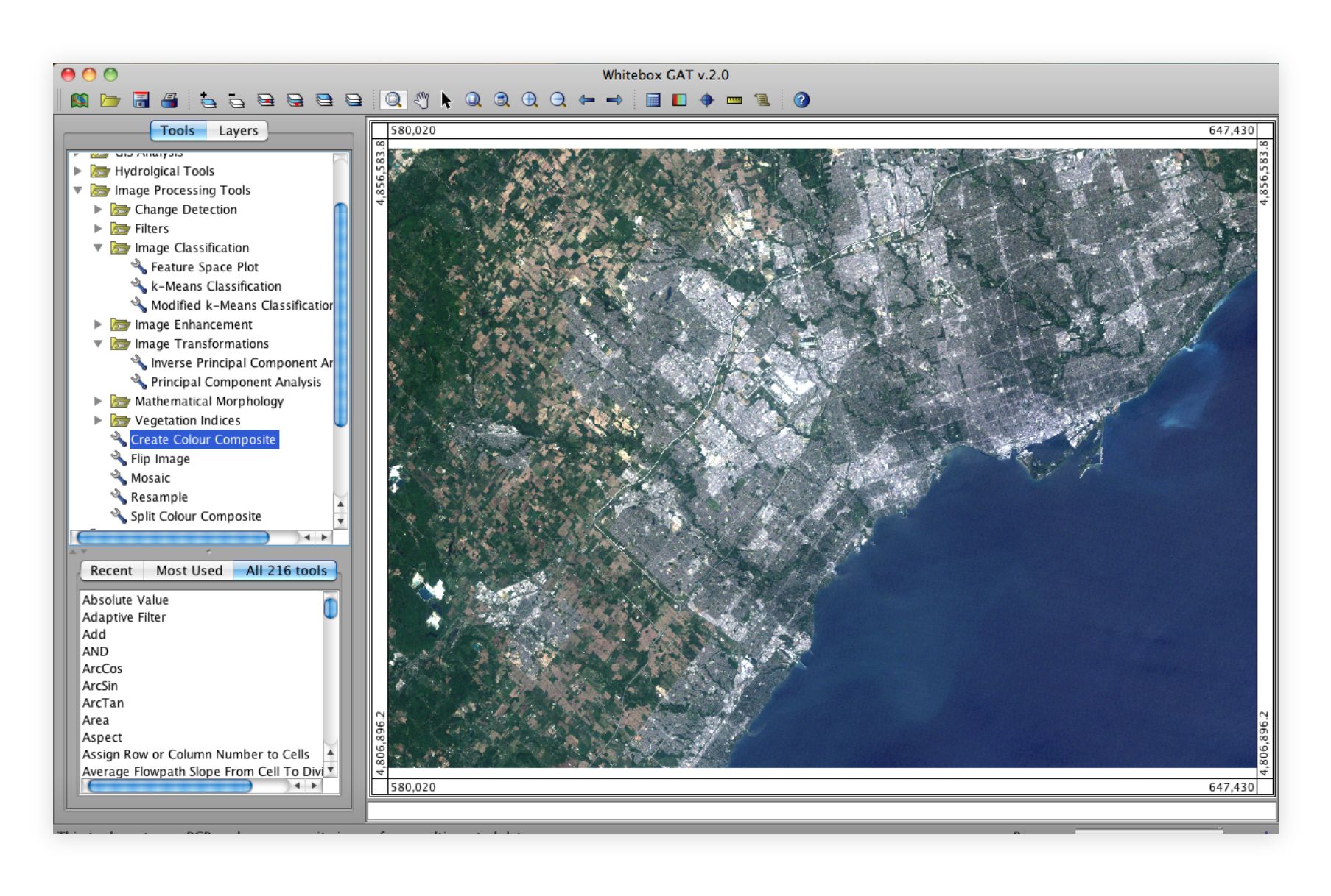
Whitebox GAT (Geospatial Analysis Toolbox) is an open-source GIS and remote sensing software package developed for advanced geospatial analysis.
- Features: Comprehensive geospatial analysis tools, robust handling of raster data.
- Pros: Strong focus on scientific and educational use, good for advanced geospatial analysis.
- Cons: Limited vector data capabilities.
- Website: Whitebox GAT
10. SAGA GIS

SAGA GIS (System for Automated Geoscientific Analyses) is an open-source GIS software with a focus on geoscientific analysis and data processing.
- Features: Extensive geoscientific analysis tools, powerful raster data processing.
- Pros: Strong analytical capabilities, user-friendly interface.
- Cons: Limited vector data processing capabilities.
- Website: SAGA GIS
Free GIS software in 2026 offers more capabilities than ever before. Whether you're a beginner needing simple mapping tools or an advanced user requiring robust geospatial analysis, there's a free option that fits your needs.
From cloud-based collaborative platforms to powerful open-source desktop applications, these tools make GIS accessible to everyone. You can now create professional maps, analyze spatial data, and share your work—all without expensive software licenses.


