
Sharing maps effectively is essential for teams working on GIS projects. Whether you need to distribute finished maps, collaborate on edits, or embed interactive maps into a website, the right tool can make or break your workflow.
Two popular GIS platforms—Atlas and QGIS—approach map sharing very differently. This article compares their sharing capabilities to help you decide which platform better suits your team’s needs.
How Sharing Works in Atlas and QGIS
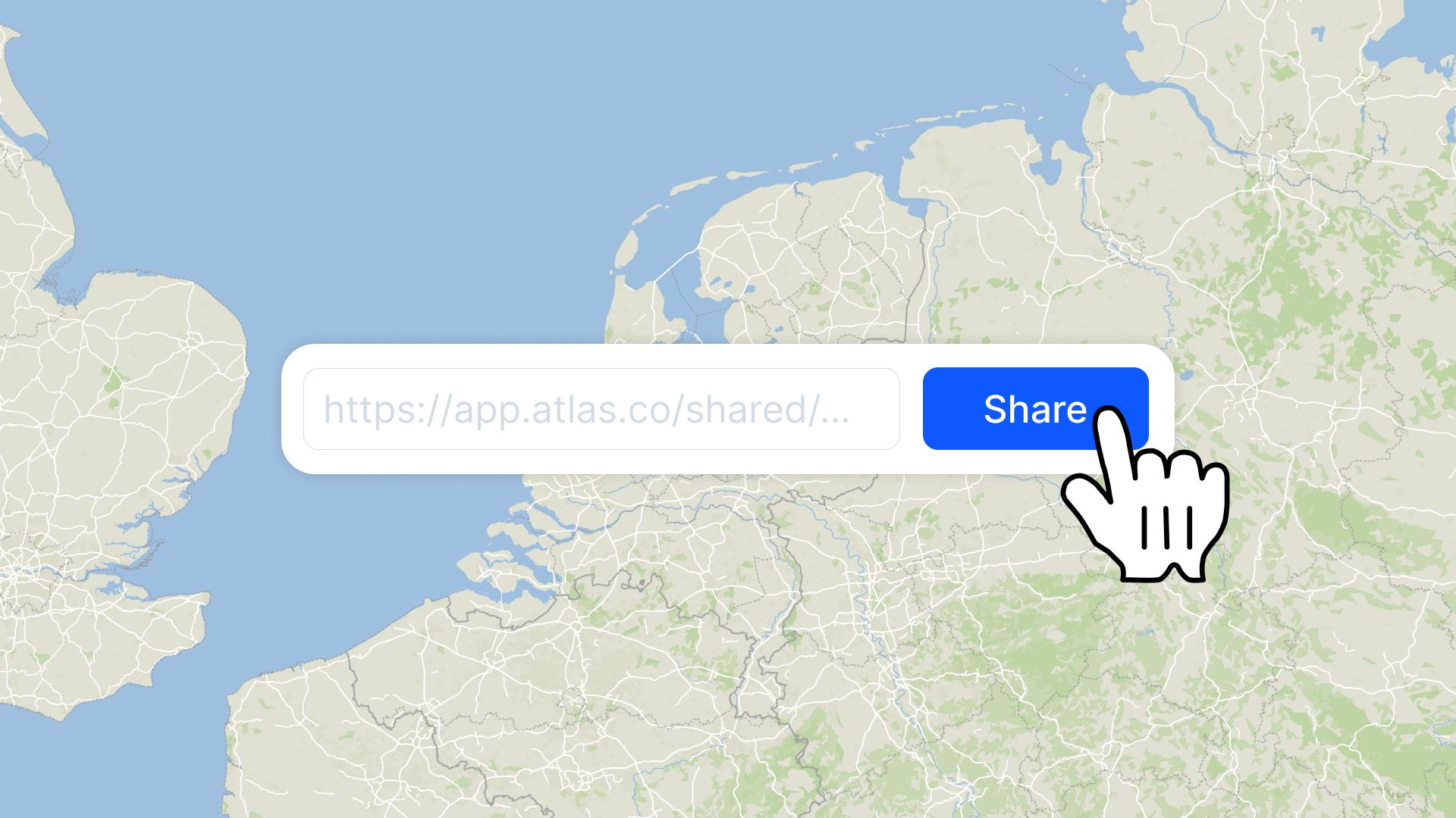
Atlas: Simple and Seamless Sharing
Atlas is designed with collaboration in mind, making sharing maps a breeze. Its cloud-based infrastructure allows maps to be shared instantly, even with people outside your organization.
Key sharing features in Atlas:
- Link-Based Sharing: Generate a shareable link to give others access to your map.
- Embed Maps: Easily embed interactive maps into websites, dashboards, or reports.
- Permissions Control: Adjust access levels, such as view-only or edit access, for each collaborator.
- Password-Protected Maps: Keep sensitive maps secure with password protection (available on Professional plans and higher).
QGIS: Manual and Export-Based Sharing
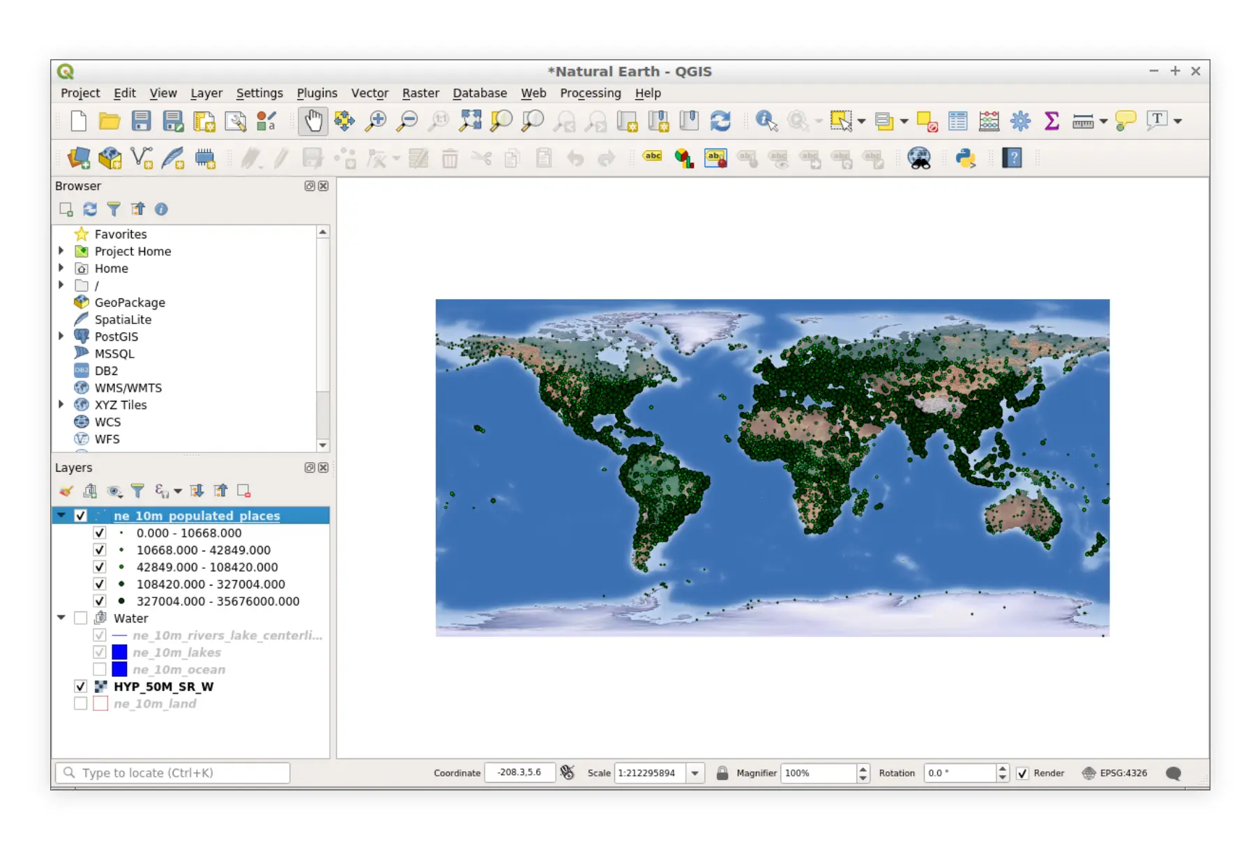
QGIS relies on manual sharing workflows. Maps are typically exported as static files or data formats, then shared using email or third-party platforms like Google Drive or Dropbox.
Key sharing methods in QGIS:
- Export to Static Files: Save maps as PDFs, images, or print-ready documents for distribution.
- Export Data Files: Share GeoJSON, Shapefiles, or other formats for further editing by collaborators.
- No Built-In Real-Time Sharing: Collaboration requires manual file exchanges or external tools.
Real-Time Collaboration
Atlas: Live Updates for All Collaborators
Atlas allows teams to work on the same map simultaneously. Changes are visible in real time, eliminating the need to send files back and forth. Team members can add comments, make edits, and provide feedback instantly.
Benefits:
- No Version Confusion: Everyone works on the latest version of the map.
- Unlimited Collaborators: Even the free Starter plan supports unlimited collaborators.
- Cloud-Based Access: Maps are accessible anywhere, on any device.
QGIS: No Real-Time Editing
In QGIS, collaboration involves exchanging static files. Each team member must download and edit the file independently, then send it back to merge changes. This process can result in:
- Version Control Issues: It’s easy to lose track of the latest file version.
- Slower Workflows: Manual file sharing delays updates and feedback.
Interactive Map Sharing
Atlas: Embed and Share Interactive Maps
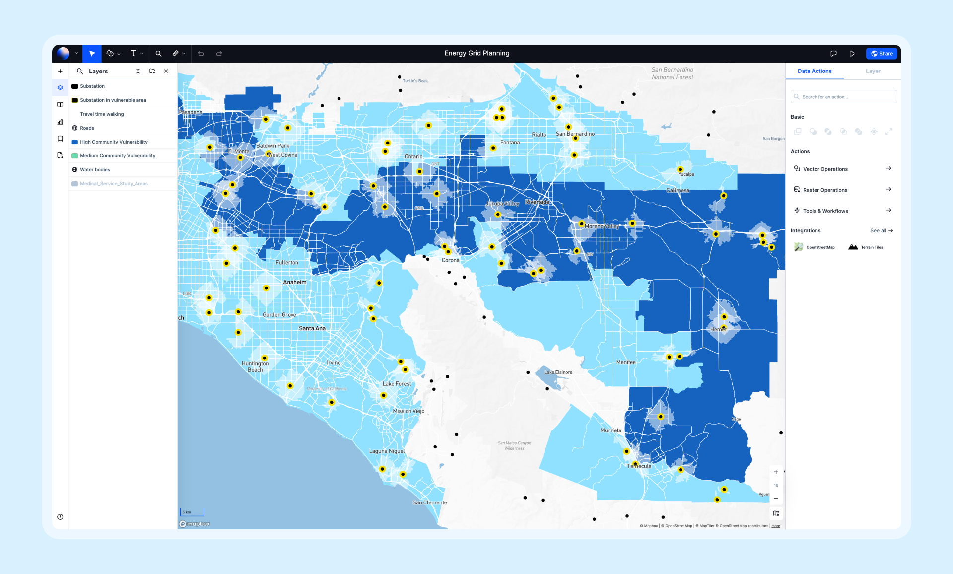
Atlas enables users to create and share fully interactive maps without coding. Embedded maps retain interactivity, allowing viewers to zoom, click, and explore map features directly within a website or dashboard.
Interactive sharing options:
- Embed Code: Copy and paste embed codes into websites or apps.
- Customizable Viewer Options: Adjust what viewers can see and do with the map.
- Private Sharing: Keep maps restricted to specific audiences with password protection or link permissions.
QGIS: Static Outputs Only
While QGIS excels at creating detailed maps, sharing interactive versions requires exporting data and setting up custom tools or plugins. For non-technical users, this can be challenging and time-consuming.
Sharing Maps Across Teams
Atlas: Made for Collaboration
Atlas’s sharing features are tailored for teamwork. Whether you’re working in a small group or across departments, Atlas ensures everyone has access to the maps they need.
Highlights:
- Organization Plans: Teams can share datasets and maps seamlessly across an organization.
- Unlimited Viewers: Share maps with clients, stakeholders, or partners without additional costs.
- Role-Based Permissions: Assign different roles, such as viewer, editor, or admin, to maintain control.
QGIS: Best for Small, Technical Teams
QGIS is better suited for teams where one person creates the map and distributes it to others. It lacks built-in features for multi-user collaboration, which can slow down workflows for larger teams.
Cost of Sharing Features
Atlas: Freemium Model
- Free Starter Plan: Includes unlimited collaborators and basic sharing options.
- Professional Plan ($39 per user/month): Adds advanced sharing features like password protection and custom embeds.
- Organization Plan ($89 per user/month): Ideal for teams needing centralized map sharing and management.
QGIS: Free but Limited
QGIS’s open-source nature means there are no direct costs for sharing maps. However, reliance on external tools for sharing and version control can increase indirect costs, especially for larger teams.
Which Platform is Better for Sharing Maps?
| Feature | Atlas | QGIS |
|---|---|---|
| Real-Time Collaboration | Yes, live updates | No, file-based sharing only |
| Sharing Options | Links, embeds, cloud-based | Exported files |
| Interactive Maps | Fully interactive, easy to share | Requires external tools or scripting |
| Team Collaboration | Unlimited collaborators, role-based access | Manual workflows |
| Cost | Free to $89/user/month | Free (with indirect costs) |
Final Thoughts: Which is Right for Your Team?
Choose Atlas if you:
- Need seamless real-time collaboration.
- Want to share interactive maps effortlessly via links or embeds.
- Work in teams requiring centralized access and role-based permissions.
Choose QGIS if you:
- Prefer a free, open-source solution.
- Don’t need real-time sharing or interactive map options.
- Have a small team comfortable with manual file exchanges.
For teams prioritizing collaboration and simplicity, Atlas is the ideal choice. QGIS, while powerful, is better suited for technical users with less focus on teamwork. Explore Atlas’s free Starter plan or upgrade to Professional for advanced sharing features.
