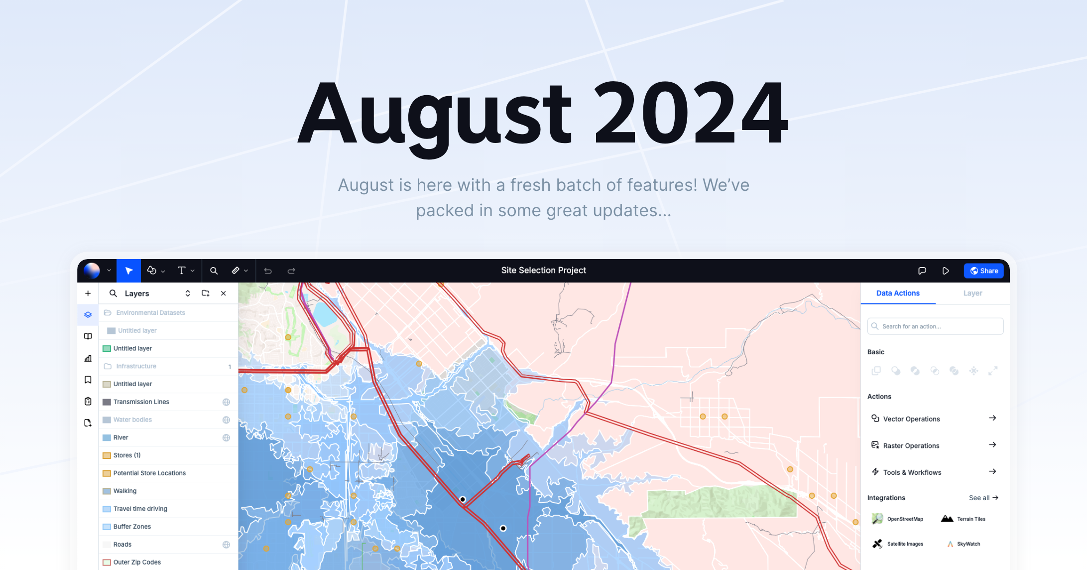
Ever wished for more ways to level up your maps? Well, August is here with a fresh batch of features! We’ve packed in some great updates that’ll make working with Atlas even smoother and more fun.
Here’s what’s new:
Quick Overview
- GPX Support
- Image upload Data Table
- Valid shapes check
- Mapillary Streetview
- Number of categories Widgets
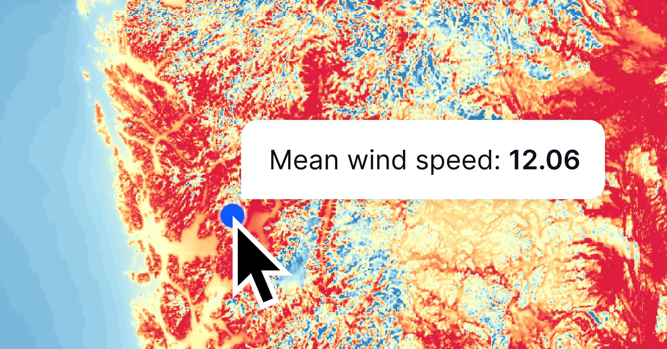
- Raster click
- Edit in popup
GPX Support
Ever wanted to use your GPX files directly in Atlas? Now you can! Upload and visualize your GPS tracks easily.

Image Upload in Data Table
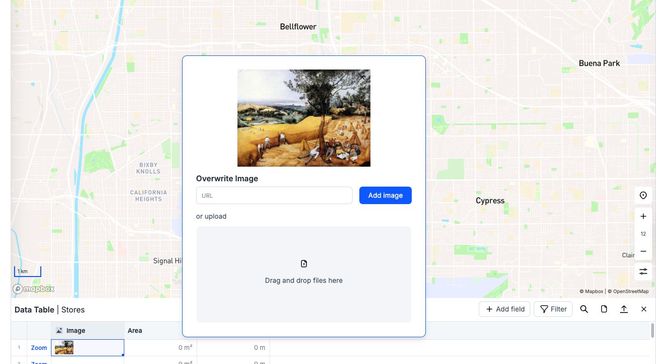
Add images to your datasets. It's now possible to upload and display images directly in the data table. Perfect for those who love adding a visual touch to their data.
Valid Shapes Check
No more invalid shapes! Atlas now automatically checks the validity of your shapes, ensuring everything is up to standard.
Mapillary Streetview
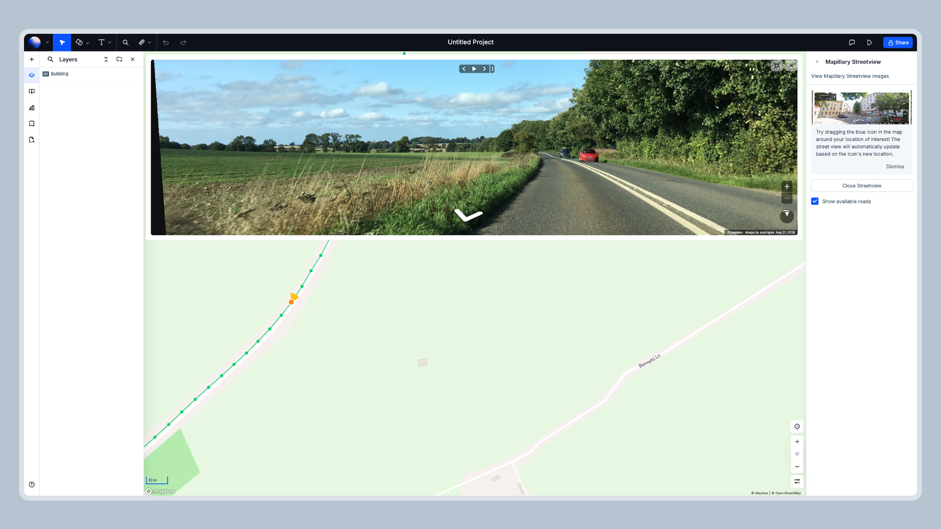
Explore the world right from your map. With the new Mapillary Streetview integration, you can dive into street-level imagery directly within Atlas.
Raster Click
Need details on a specific raster point? Simply click on it, and Atlas will show you the values right away.
Edit in Popup
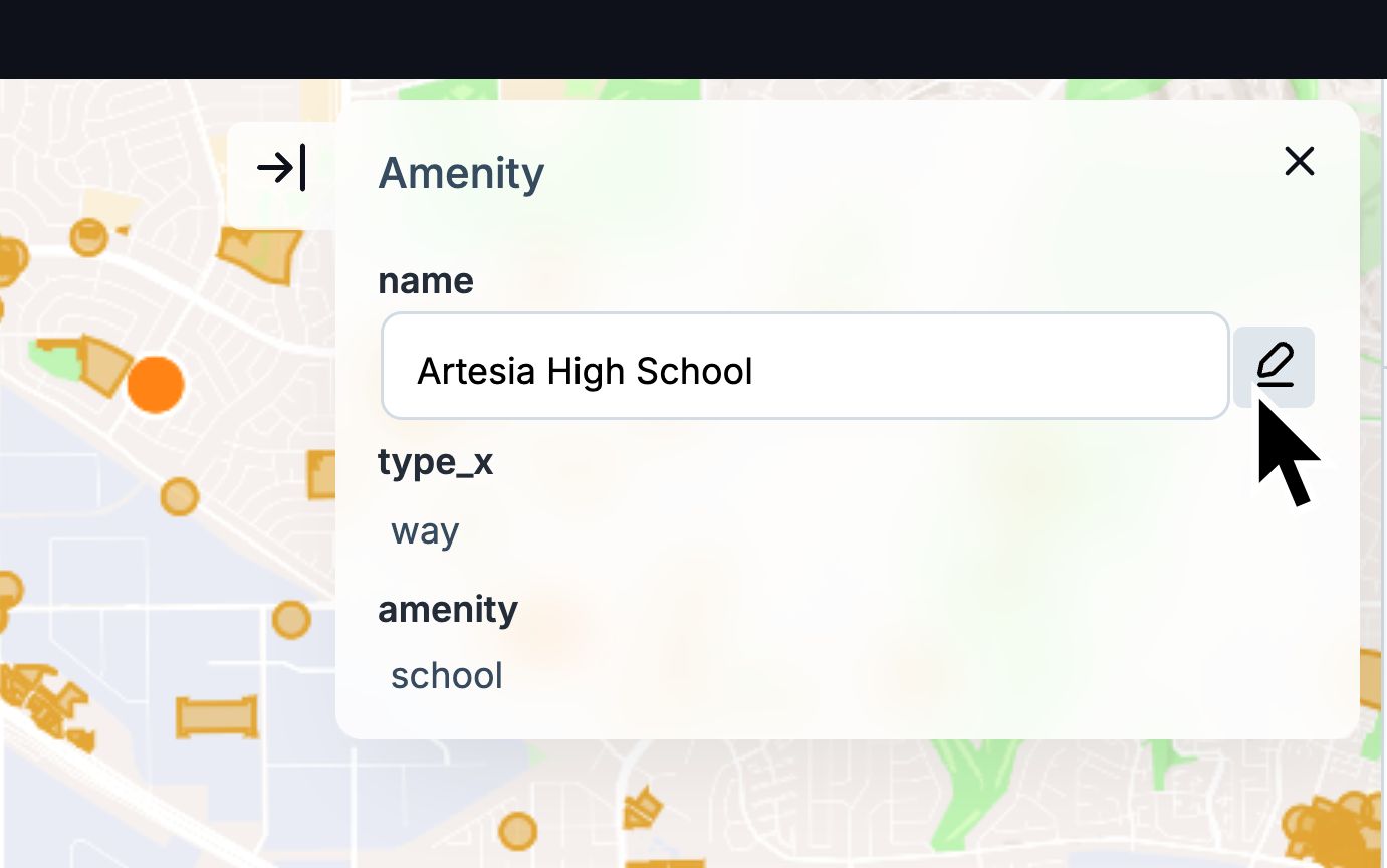
Editing just got easier. Make changes directly in popups without losing context. It's all about saving you time.
