

When planning a solar farm, it’s not just about sun and land.
You also need to think about where the electricity will go.
That’s why grid infrastructure matters.
You can have the best site in the world, but if it’s far from transmission lines, the cost to connect can kill the project.
Atlas helps solve this with built-in infrastructure data and easy overlay tools.
Why grid access is critical
Every solar farm needs to connect to the grid.
Without that, the power you generate has nowhere to go.
So, before picking a location, you should check:
- Distance to transmission lines
- Voltage of nearby lines
- Substation availability
- Existing load on the network
Getting this info early can save time, money, and surprises later on.
How to overlay grid infrastructure in Atlas
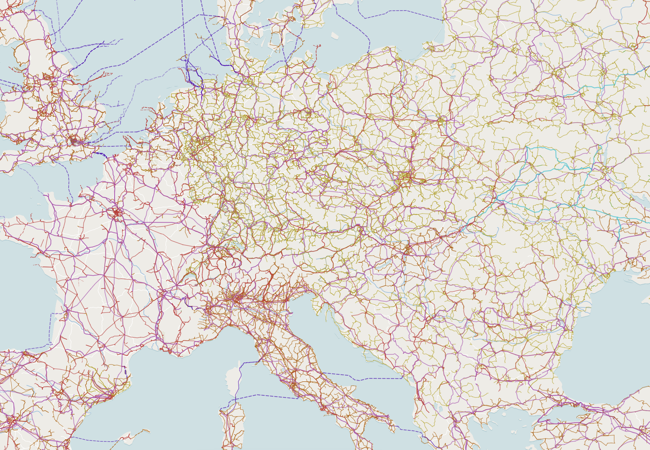
Atlas includes a Global Infrastructure Dataset based on OpenStreetMap in its Data Hub.
This includes:
- Transmission lines
- Substations
- Power plants
- Voltage levels
Here’s how to use it:
-
Open Atlas
Go to atlas.co and create a new map.
-
Search the Data Hub
Click on “Add data” and go to the Data Hub.
-
Add the Infrastructure layer
Search for “Global Infrastructure” and add it to your map.
-
Load your solar site
Upload your solar parcel, or create a new polygon showing your project area.
-
Compare and plan
Use visual overlay to check how close your site is to the nearest lines or substations.
What can you do with this?
- Measure distance from your site to the nearest transmission line
- Assess voltage levels to see if they match your capacity
- Prioritize sites that are already near substations
- Avoid areas where grid access is too far or expensive
This is one of the fastest ways to rule in—or rule out—a location for solar.
Make decisions faster
By overlaying solar sites with real infrastructure data, you:
- Save time on site selection
- Focus only on viable locations
- Avoid dead-end projects
- Communicate clearly with stakeholders
You don’t need to dig through PDFs or call grid operators to get started.
The data is already in Atlas.
Ready to try it?
Go to the Atlas Data Hub and search for Global Infrastructure.
Add it to your map. Then upload your site or draw an area.
You’ll see right away which sites have a shot—and which don’t.
No code. No installs. Just straight to the point.


